2000s (21st Century) Maps of Ponca Township, Nebraska
Explore 17 historic maps of Ponca Township from the 2000s (21st Century). These maps offer a rare glimpse into what life looked like during the 2000s — showing old roads, neighborhoods, homes, and landmarks that have changed or disappeared over time.
Whether you're researching your family's past, planning a metal detecting trip, or studying how Ponca Township's landscape evolved across the 2000s, these high-resolution maps are a powerful tool for exploring the history of this region.
- Focus on a specific era: All maps on this page are from the 2000s, giving you a focused view of this time period.
- See what’s changed: Compare century-old streets, trails, and buildings to today's modern landscape using overlays and satellite layers.
- Research with precision: Use these maps for genealogy, historical research, land use analysis, or educational projects.
- View, download, or print: Maps are fully viewable online in high resolution, and can be downloaded or printed for your own records.
Start exploring Ponca Township's history through authentic maps from the 2000s. This is your window into the past.
Ponca Township, NE maps
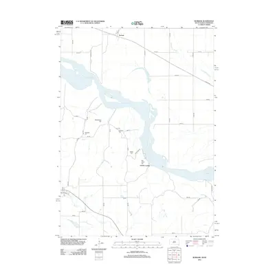
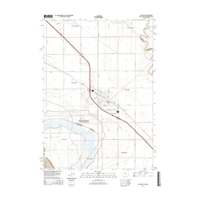
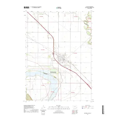
(17)- 2011 Map of Ponca, 2011 Print
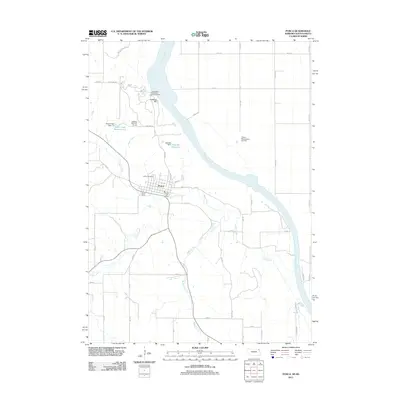 2011 Ponca2011 Print · USGSCovers Ponca Township, including Ponca, Civil Bend Township, and other nearby areas
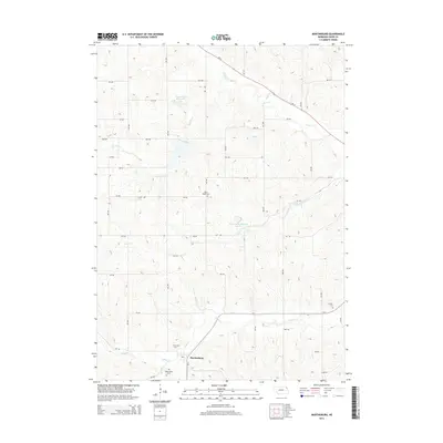
 - 2011 Map of Martinsburg, 2011 Print
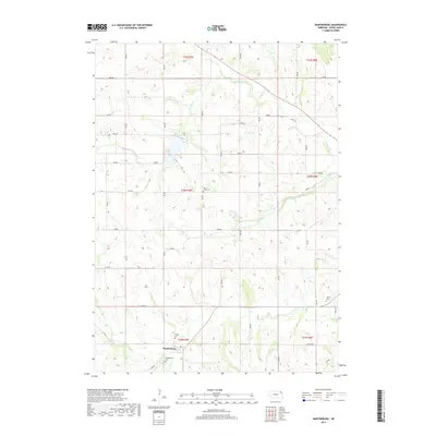
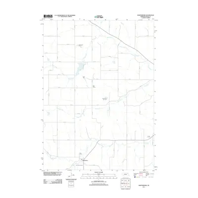 2011 Martinsburg2011 Print · USGSCovers Ponca Township, including Martinsburg, Wakefield Township, and other nearby areas
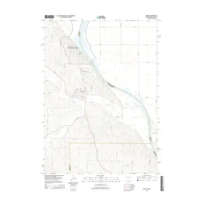
 - 2011 Map of Elk Point, 2011 Print
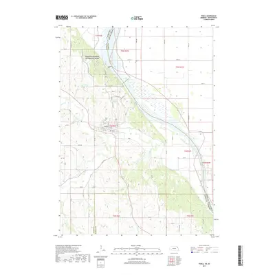
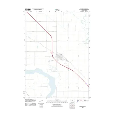 2011 Elk Point2011 Print · USGSCovers Ponca Township, including Elk Point, Elk Point Township, and other nearby areas
 - 2012 Map of Elk Point, 2012 Print
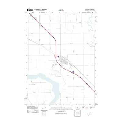 2012 Elk Point2012 Print · USGSCovers Ponca Township, including Elk Point, Elk Point Township, and other nearby areas
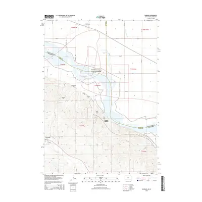
 - 2012 Map of Burbank, 2012 Print
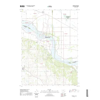
 2012 Burbank2012 Print · USGSCovers Ponca Township, including Newcastle, Elk Point Township, and other nearby areas
 - 2014 Map of Martinsburg, 2014 Print
 2014 Martinsburg2014 Print · USGSCovers Ponca Township, including Martinsburg, Wakefield Township, and other nearby areas
 - 2014 Map of Ponca, 2014 Print
 2014 Ponca2014 Print · USGSCovers Ponca Township, including Ponca, Civil Bend Township, and other nearby areas
 - 2015 Map of Burbank, 2015 Print
 2015 Burbank2015 Print · USGSCovers Ponca Township, including Newcastle, Elk Point Township, and other nearby areas
 - 2015 Map of Elk Point, 2015 Print
 2015 Elk Point2015 Print · USGSCovers Ponca Township, including Elk Point, Elk Point Township, and other nearby areas
 - 2017 Map of Ponca, 2017 Print
 2017 Ponca2017 Print · USGSCovers Ponca Township, including Ponca, Civil Bend Township, and other nearby areas
 - 2017 Map of Martinsburg, 2017 Print
 2017 Martinsburg2017 Print · USGSCovers Ponca Township, including Martinsburg, Wakefield Township, and other nearby areas
 - 2017 Map of Burbank, 2017 Print
 2017 Burbank2017 Print · USGSCovers Ponca Township, including Newcastle, Elk Point Township, and other nearby areas
 - 2017 Map of Elk Point, 2017 Print
 2017 Elk Point2017 Print · USGSCovers Ponca Township, including Elk Point, Elk Point Township, and other nearby areas
 - 2021 Map of Ponca, 2021 Print
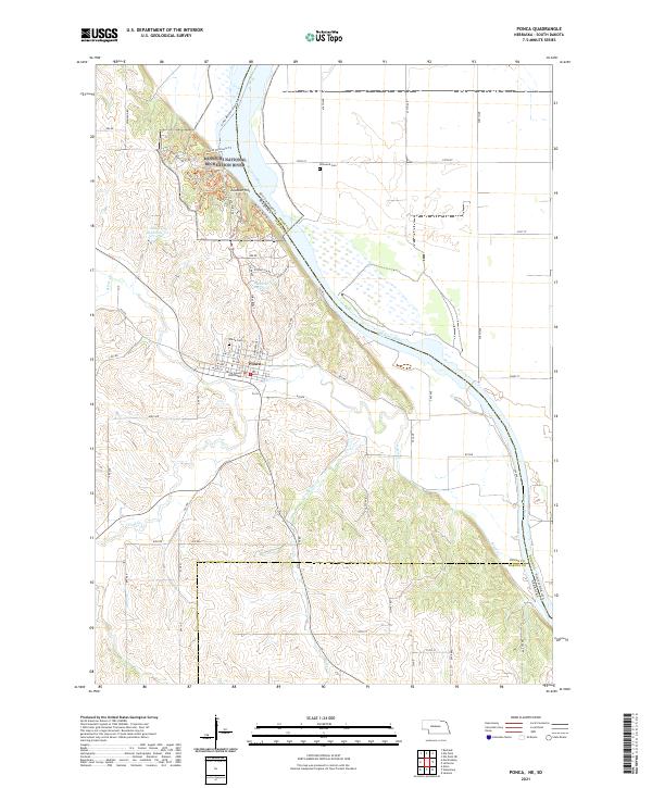 2021 Ponca2021 Print · USGSPonca and the Missouri River bluffs appear in high detail at the start of the 2020s, showing the intersection of local government and river conservation. Local historians can locate the Dixon County Courthouse, Ponca Cem, and the winding Corps of Discovery Trl.
 - 2021 Map of Martinsburg, 2021 Print
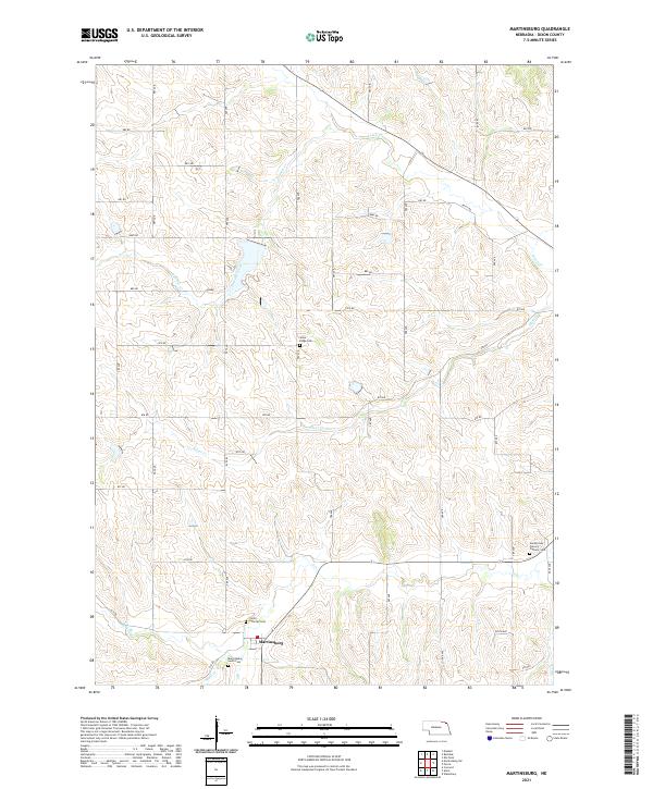 2021 Martinsburg2021 Print · USGSMartinsburg and the surrounding Dixon County farmlands are captured in this modern survey of northeast Nebraska. Genealogists and historians can trace cemetery locations and rural road networks, including Silver Ridge Cem, Trinity Lutheran Cem, and the path of Powder Creek.
 - 2021 Map of Elk Point, 2021 Print
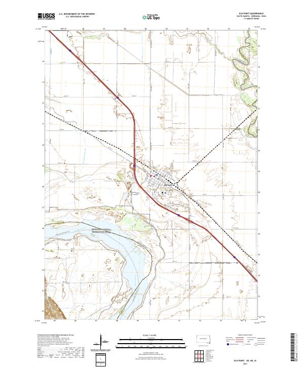 2021 Elk Point2021 Print · USGSThe tri-state junction of South Dakota, Nebraska, and Iowa comes alive in this 2021 study of the river-fed plains. Genealogists and local historians can trace the streets of Elk Point, locating the Union County Courthouse and the nearby Saint Joseph Cem.
 - 2021 Map of Burbank, 2021 Print
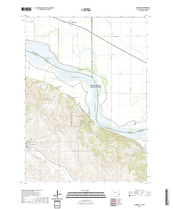 2021 Burbank2021 Print · USGSThe Missouri River borderlands between South Dakota and Nebraska come alive in this recent survey. Genealogists can trace family sites at Saint Peters Calvary Cem and Ionia Cem, or explore the hills around Newcastle and Burbank.
End of results
Showing maps 1-17 of 17
Top cities near Ponca Township
- Sioux City historical maps
- Vermillion historical maps
- Dakota Dunes historical maps
- North Sioux City historical maps
- Elk Point historical maps
- Akron historical maps
See more
Frequently asked questions
- What are the different types of historical maps available for Ponca Township?
- What is the oldest map of Ponca Township?
- Where can I purchase historical maps of Ponca Township for my home or office?
- Where can I download high-res historical maps of Ponca Township?
- Are there historical topographic maps available for Ponca Township?
- Is there historical aerial imagery available for Ponca Township?
- Where are historical maps of Ponca Township sourced from?