Old Maps of Hooper, Nebraska for Hiking & Exploration
Hike through history with 9 historic maps of Hooper. Explore old trails, ghost towns, and forgotten backroads — perfect for outdoor adventurers and local explorers.
- Rediscover forgotten places: Map out old mining camps, roads, and footpaths that no longer exist on modern maps.
- Layer with modern tools: Combine with LiDAR or satellite views to plan hikes through historical terrain.
- Made for exploration: Popular among hikers, overlanders, and local history lovers.
Use these maps to find adventure and explore the hidden past of Hooper.
Hooper, NE maps
(9)- 1955 Map of Fremont, 1966 Print
 1955 Fremont1966 Print · USGSEastern Nebraska and the Missouri River border are captured during the mid-fifties, just as the interstate system began to emerge. Researchers can trace the development of Omaha, locate the sprawling Offutt Air Force Base, or study the river-bound ecology of the De Soto National Wildlife Refuge.3 unique versions available
 - 1957 Map of Fremont
 1957 Fremont1957 Print · USGSEastern Nebraska and western Iowa thrive along the Platte and Missouri rivers during the mid-fifties. Genealogists can locate small rural schools like Fairview School and tracing the paths of the Union Pacific through towns like Albion and Humphrey.
 - 1958 Map of Fremont
 1958 Fremont1958 Print · USGSEastern Nebraska in the late fifties is captured here as a thriving corridor of river-valley commerce and rail transport. Researchers can trace the development of Omaha and Fremont or locate local landmarks like Midland College and Offutt Air Force Base.
 - 1966 Map of Hooper, 1967 Print
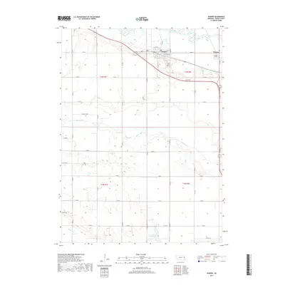
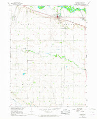 1966 Hooper1967 Print · USGSDodge County agricultural life and transportation networks are well-documented here in the mid-sixties. Researchers can trace family history through landmarks like St Rose of Lima Cem, Bellevue Sch, and the Scribner Air Force Base.
 - 1986 Map of Blair
 1986 Blair1986 Print · USGSEastern Nebraska and the Iowa borderlands are captured here in the mid-eighties, showing the established river-and-rail network. Genealogists and historians can trace the foundations of Blair, West Point, and Tekamah, or locate smaller sites like Fontanelle and Scribner.2 unique versions available
 - 2011 Map of Hooper, 2011 Print
 2011 Hooper2011 Print · USGSCovers Hooper, including Winslow, Dodge County, and other nearby areas
 - 2014 Map of Hooper, 2014 Print
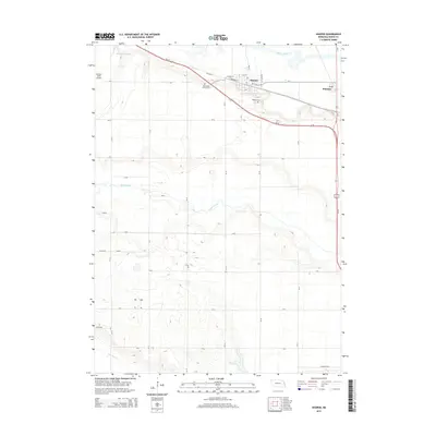 2014 Hooper2014 Print · USGSCovers Hooper, including Winslow, Dodge County, and other nearby areas
 - 2017 Map of Hooper, 2017 Print
 2017 Hooper2017 Print · USGSCovers Hooper, including Winslow, Dodge County, and other nearby areas
 - 2021 Map of Hooper, 2021 Print
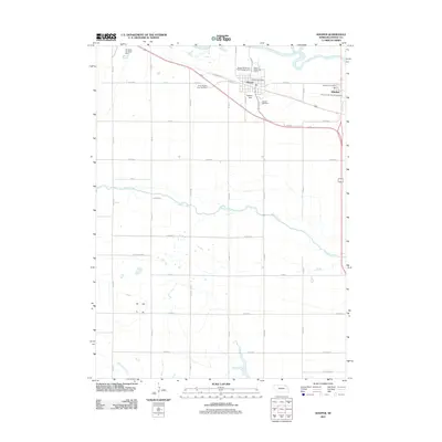
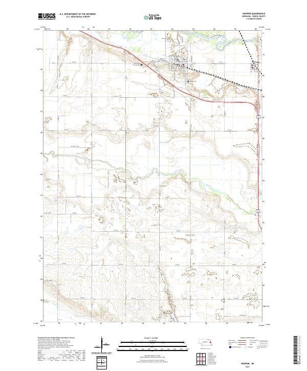 2021 Hooper2021 Print · USGSDodge County's river valleys and rural townships are captured here in the early twenty-first century. Researchers can trace family history at Saint Rose of Lima Cem or follow the paths of Maple Creek and the Elkhorn River.
End of results
Showing maps 1-9 of 9
Top cities near Hooper
- Fremont historical maps
- West Point historical maps
- Oakland historical maps
- North Bend historical maps
- Arlington historical maps
- Scribner historical maps
See more
Frequently asked questions
- What are the different types of historical maps available for Hooper?
- What is the oldest map of Hooper?
- Where can I purchase historical maps of Hooper for my home or office?
- Where can I download high-res historical maps of Hooper?
- Are there historical topographic maps available for Hooper?
- Is there historical aerial imagery available for Hooper?
- Where are historical maps of Hooper sourced from?