2020s Maps of Benson, Omaha
Explore 2 historic maps of Benson from the 2020s. These maps offer a rare glimpse into what life looked like during the 2020s — showing old roads, neighborhoods, homes, and landmarks that have changed or disappeared over time.
Whether you're researching your family's past, planning a metal detecting trip, or studying how Benson's landscape evolved across the 2020s, these high-resolution maps are a powerful tool for exploring the history of this region.
- Focus on a specific era: All maps on this page are from the 2020s, giving you a focused view of this time period.
- See what’s changed: Compare century-old streets, trails, and buildings to today's modern landscape using overlays and satellite layers.
- Research with precision: Use these maps for genealogy, historical research, land use analysis, or educational projects.
- View, download, or print: Maps are fully viewable online in high resolution, and can be downloaded or printed for your own records.
Start exploring Benson's history through authentic maps from the 2020s. This is your window into the past.
Benson, Omaha maps
(2)- 2021 Map of Omaha North, 2021 Print
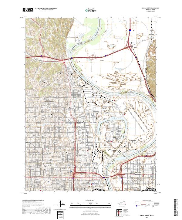 2021 Omaha North2021 Print · USGSOmaha and Council Bluffs stand on opposite banks of the Missouri River in this recent survey of these historic Missouri Valley hubs. Researchers can trace urban development and family history through numerous landmarks like Prospect Hill Cem, Creighton University, and Eppley Airfield.
 - 2021 Map of Irvington, 2021 Print
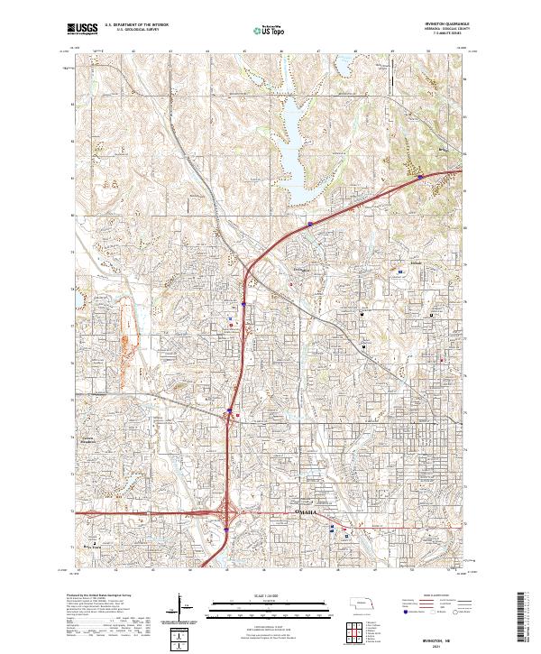 2021 Irvington2021 Print · USGSNorthwest Omaha and its suburban fringes are shown in detail during a period of significant residential and commercial maturity. Genealogists and local historians can trace the grounds of Boys Town, find historic burials at Springwell Danish Cem, and locate the former sites of Irvington and Briggs.
End of results
Showing maps 1-2 of 2
Frequently asked questions
- What are the different types of historical maps available for Benson?
- What is the oldest map of Benson?
- Where can I purchase historical maps of Benson for my home or office?
- Where can I download high-res historical maps of Benson?
- Are there historical topographic maps available for Benson?
- Is there historical aerial imagery available for Benson?
- Where are historical maps of Benson sourced from?