Old Maps of Virginia, Nebraska for Academic Research
Study the evolution of Virginia with 14 high-resolution historic maps. Whether you're teaching, researching, or modeling changes in land use, these maps provide essential visual documentation of urban, environmental, and geographic change.
- Analyze long-term change: Track patterns in development, transportation, and natural features.
- Ideal for environmental or urban studies: Support academic projects with primary historical map data.
- Use in the classroom or lab: Educators and researchers rely on these maps to bring historical context to life.
These maps are a powerful tool for teaching, research, and visualizing how Virginia has changed over the decades.
Virginia, NE maps
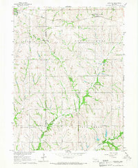
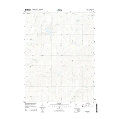
(14)- 1955 Map of Lincoln, 1967 Print
 1955 Lincoln1967 Print · USGSSoutheast Nebraska in the mid-fifties presents a landscape of thriving railroad towns and the expanding footprint of the capital city. Researchers can trace the legacy of the pioneer era at the Homestead National Monument of America or locate mid-century military infrastructure like Lincoln Air Force Base.5 unique versions available
 - 1957 Map of Lincoln
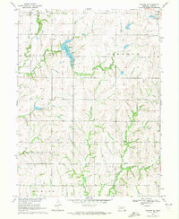
 1957 Lincoln1957 Print · USGSSoutheastern Nebraska at mid-century shows a landscape of thriving rail towns and expanding infrastructure centered on Lincoln. Researchers can trace the path of the Chicago Burlington and Quincy railroad through communities like Weeping Water, Fairmont, and Seward.
 - 1958 Map of Lincoln
 1958 Lincoln1958 Print · USGSSoutheast Nebraska at the end of the 1950s shows a region defined by agricultural trade and the expansion of the state capital. Genealogists can trace family footprints across the Blue Valley and locate landmarks like the Lincoln AFB or the U.S. Veterans Hospital.
 - 1965 Map of Lewiston, 1966 Print
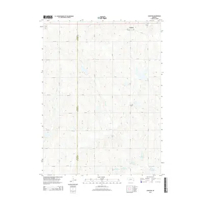
 1965 Lewiston1966 Print · USGSThe rolling prairie of southeastern Nebraska is captured here in the mid-1960s, showing the agricultural heart of Gage and Pawnee counties. Researchers can trace family history at Lewiston Cem and Pleasant Hill Ch or follow the paths of the Chicago Rock Island and Pacific railroad.
 - 1970 Map of Wymore NE, 1972 Print
 1970 Wymore NE1972 Print · USGSGage County's agricultural and recreational landscape comes into focus during the early 1970s. Researchers can trace family history through Stark Cem, locate the Old Railroad Grade, and explore the shoreline of Rockford Lake.
 - 1986 Map of Beatrice
 1986 Beatrice1986 Print · USGSSoutheast Nebraska and the Kansas borderlands appear in the mid-1980s as a thriving agricultural region centered on the Big Blue River. Researchers can trace historic rail routes like the Burlington Northern through hubs such as Beatrice and Pawnee City.2 unique versions available
 - 2011 Map of Lewiston, 2011 Print
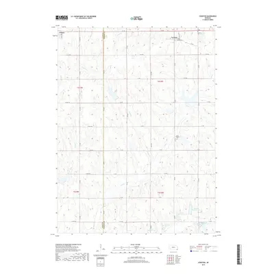
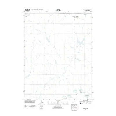 2011 Lewiston2011 Print · USGSCovers Virginia, including Lewiston, Gage County, and other nearby areas
 - 2011 Map of Wymore NE, 2011 Print
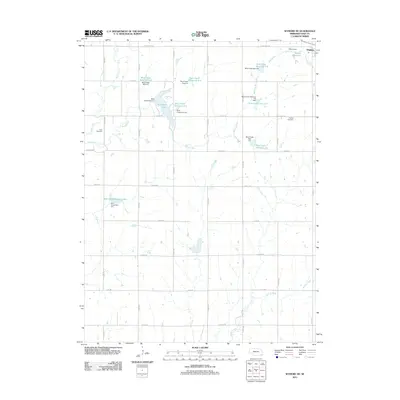 2011 Wymore NE2011 Print · USGSCovers Virginia, including Gage County, United States, and other nearby areas
 - 2014 Map of Wymore NE, 2014 Print
 2014 Wymore NE2014 Print · USGSCovers Virginia, including Gage County, United States, and other nearby areas
 - 2014 Map of Lewiston, 2014 Print
 2014 Lewiston2014 Print · USGSCovers Virginia, including Lewiston, Gage County, and other nearby areas
 - 2017 Map of Lewiston, 2017 Print
 2017 Lewiston2017 Print · USGSCovers Virginia, including Lewiston, Gage County, and other nearby areas
 - 2017 Map of Wymore NE, 2017 Print
 2017 Wymore NE2017 Print · USGSCovers Virginia, including Gage County, United States, and other nearby areas
 - 2021 Map of Wymore NE, 2021 Print
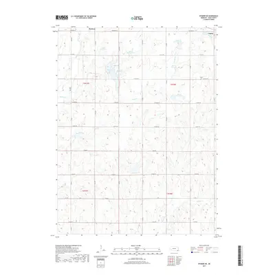
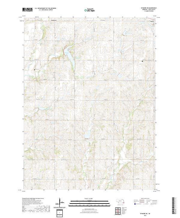 2021 Wymore NE2021 Print · USGSGage County is shown here in the early twenty-first century, revealing an intricate system of water management and rural homesteads. Genealogists and local historians can locate Virginia Cem, the community of Rockford, and the waters of Rockford Lake.
 - 2021 Map of Lewiston, 2021 Print
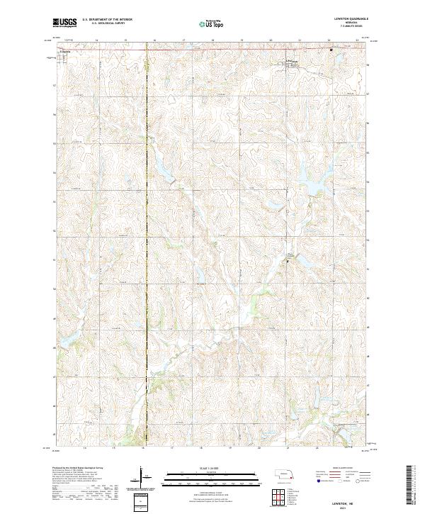 2021 Lewiston2021 Print · USGSSoutheast Nebraska farmland at the junction of Gage and Pawnee counties is captured in this contemporary survey of the rural plains. Genealogists and local historians can locate Mount Pleasant Cem and the village of Lewiston, while tracing the modern reservoir system along Plum Creek.
End of results
Showing maps 1-14 of 14
Top cities near Virginia
- Beatrice historical maps
- Wymore historical maps
- Adams historical maps
- Sterling historical maps
- Rockford historical maps
- Blue Springs historical maps
See more
Frequently asked questions
- What are the different types of historical maps available for Virginia?
- What is the oldest map of Virginia?
- Where can I purchase historical maps of Virginia for my home or office?
- Where can I download high-res historical maps of Virginia?
- Are there historical topographic maps available for Virginia?
- Is there historical aerial imagery available for Virginia?
- Where are historical maps of Virginia sourced from?