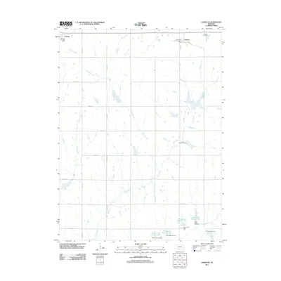
2011 Map of Lewiston
USGS Topo · Published 2011About this map
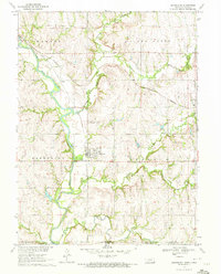
Lewiston and Virginia anchor the northern edge of this Pawnee County landscape, where rural life is defined by a systematic grid of section roads and a complex network of prairie drainage. The area is marked by numerous water management features, specifically a series of reservoirs along Plum Creek in the south, including Plum Creek Reservoir 4-D and Plum Creek Reservoir 4-G, each with its own associated dam.
Find a feature on this map
33 named features on this map. Tap any name to fly to it.
Don’t see what you’re looking for? This feature index may not catch every label — zoom into the map to look around manually.
Map Details
Editions of this 2011 Lewiston Map
This is the sole edition of this map. No revisions or reprints were ever made.
Other maps of this area

1955 · Lincoln
USGS Topo · 1:250,000

1957 · Lincoln
USGS Topo · 1:250,000

1958 · Lincoln
USGS Topo · 1:250,000

1965 · Crab Orchard
USGS Topo · 1:24,000

1965 · Burchard
USGS Topo · 1:24,000
1965 · Liberty SE
USGS Topo · 1:24,000

1965 · Lewiston
USGS Topo · 1:24,000
1965 · Vesta
USGS Topo · 1:24,000
1965 · Liberty
USGS Topo · 1:24,000
1970 · Barneston
USGS Topo · 1:24,000