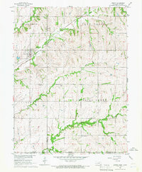
1965 Map of Liberty
USGS Topo · Published 1968About this map
The town of Liberty anchors this mid-1960s survey, situated along the tracks of the Chicago Burlington and Quincy Railroad. The landscape is defined by the sharp transition between the Nebraska prairies and the Kansas border, deeply dissected by the drainages of Wolf Creek, Arkeketa Creek, and the winding Mission Creek. The map documents a rural society organized around small townships such as Island Grove, Plum Creek, and Balderson, where the placement of country churches and family burial grounds reflects early settlement patterns. Genealogy researchers will find several notable sites, including the Mission Creek Ch and a collection of local cemeteries such as Tanner Cem and Zion Cem. Notable infrastructure of the era is present, including a Gravel Pit and a prominent Radio Tower, indicating the mid-century intersection of traditional agriculture and modern telecommunications.
Find a feature on this map
24 named features on this map. Tap any name to fly to it.
Don’t see what you’re looking for? This feature index may not catch every label — zoom into the map to look around manually.
Map Details
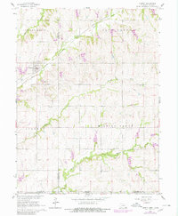
Editions of this 1965 Liberty Map
2 editions found
Other maps of this area

1889 · Seneca
USGS Topo · 1:125,000

1889 · Marysville
USGS Topo · 1:125,000

1894 · Seneca
USGS Topo · 1:125,000

1894 · Marysville
USGS Topo · 1:125,000

1955 · Manhattan
USGS Topo · 1:250,000

1955 · Lincoln
USGS Topo · 1:250,000

1956 · Manhattan
USGS Topo · 1:250,000

1957 · Manhattan
USGS Topo · 1:250,000

1957 · Lincoln
USGS Topo · 1:250,000

1958 · Lincoln
USGS Topo · 1:250,000