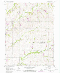
1965 Map of Liberty
USGS Topo · Published 1980About this map
The town of Liberty serves as the focal point of this mid-1960s survey, situated where the Chicago Burlington and Quincy Railroad Grade cuts across the landscape. The map highlights a rural community anchored by its spiritual and ancestral sites, including Mission Creek Ch and several burial grounds such as Liberty Cem, Zion Cem, and Lanner Cem.
Find a feature on this map
21 named features on this map. Tap any name to fly to it.
Don’t see what you’re looking for? This feature index may not catch every label — zoom into the map to look around manually.
Map Details
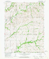
Editions of this 1965 Liberty Map
2 editions found
Other maps of this area

1889 · Seneca
USGS Topo · 1:125,000

1889 · Marysville
USGS Topo · 1:125,000

1894 · Seneca
USGS Topo · 1:125,000

1894 · Marysville
USGS Topo · 1:125,000

1955 · Manhattan
USGS Topo · 1:250,000

1955 · Lincoln
USGS Topo · 1:250,000

1956 · Manhattan
USGS Topo · 1:250,000

1957 · Manhattan
USGS Topo · 1:250,000

1957 · Lincoln
USGS Topo · 1:250,000

1958 · Lincoln
USGS Topo · 1:250,000