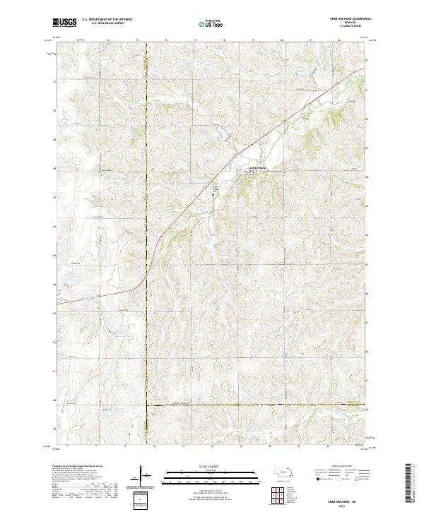
1965 Map of Crab Orchard
USGS Topo · Published 1966About this map
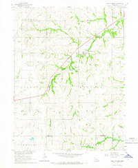
Crab Orchard sits at the intersection of local history and the rolling agricultural landscape of Johnson County in the mid-1960s. This survey, conducted as part of the Department of the Interior's Missouri River Basin development program, shows a settlement pattern defined by the drainage of several prominent waterways, including Yankee Creek and Turkey Creek. The village itself is tightly clustered around the diagonal path of Route 136, which cuts across the township boundaries of Vesta and Filley. Genealogists will find the Crab Orchard Cem recorded on the outskirts of town, while the surrounding countryside is marked by the irregular paths of Lost Creek, Mud Creek, and Laflins Branch. The map illustrates the transition from the upland divides of Hooker and Western townships down into the creek valleys, capturing the rural character of southeastern Nebraska before modern developments altered the local grid.
Find a feature on this map
17 named features on this map. Tap any name to fly to it.
Don’t see what you’re looking for? This feature index may not catch every label — zoom into the map to look around manually.
Map Details
Editions of this 1965 Crab Orchard Map
This is the sole edition of this map. No revisions or reprints were ever made.
Historical Maps of Crab Orchard Through Time
5 maps found