
1965 Map of Sterling
USGS Topo · Published 1966About this map
Sterling serves as the primary hub in this mid-1960s agricultural landscape, situated where the Chicago Burlington and Quincy railroad follows the valley of the North Fork Big Nemaha River. The surrounding townships of Adams, Sterling, Hooker, and Vesta are characterized by a dense network of section-line roads and family-centric landmarks typical of southeast Nebraska's rural development. Local history is deeply embedded in the terrain through sites like South St Johns Ch and several rural burial grounds including Immanuel Cem and Hopewell Cem. The convergence of the Middle Branch Big Nemaha River and the meandering Hooker Creek further defines the hydrology of the region, while the Gage Co Johnson Co boundary line provides a critical reference for genealogists tracing property records between the two counties.
Find a feature on this map
25 named features on this map. Tap any name to fly to it.
Don’t see what you’re looking for? This feature index may not catch every label — zoom into the map to look around manually.
Map Details
Editions of this 1965 Sterling Map
This is the sole edition of this map. No revisions or reprints were ever made.
Other maps of this area

1897 · Lincoln
USGS Topo · 1:125,000

1903 · Weeping Water
USGS Topo · 1:125,000

1929 · Weeping Water
USGS Topo · 1:125,000

1955 · Lincoln
USGS Topo · 1:250,000

1957 · Lincoln
USGS Topo · 1:250,000

1958 · Lincoln
USGS Topo · 1:250,000

1965 · Adams
USGS Topo · 1:24,000

1965 · Crab Orchard
USGS Topo · 1:24,000
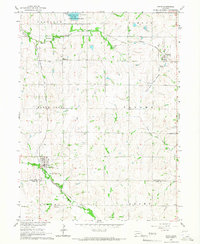
1965 · Firth
USGS Topo · 1:24,000
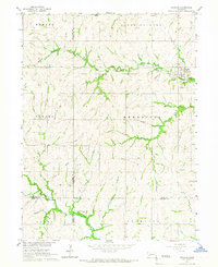
1965 · Douglas
USGS Topo · 1:24,000