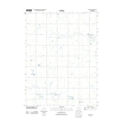
1965 Map of Douglas
USGS Topo · Published 1966About this map
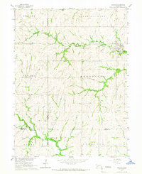
The village of Douglas sits at a geographic crossroads in the 1960s, serving as a primary settlement point near the intersection of Otoe Co and Johnson Co. The landscape is defined by the hydrologic divide between the South Fork Little Nemaha River to the north and the North Fork Big Nemaha River to the south. This terrain necessitated a complex transportation and utility network, including the Missouri Pacific railroad corridor and a notable Pipeline cutting across the rural townships. Local genealogy is anchored by sites such as Solon Cem, St Martins Cem, and an unnamed Cem in the southern reaches, alongside the agricultural and industrial footprints of a Quarry and a local Substation. The map captures the organized township structures of Hendrick, South Palmyra, and Adams during a period of steady mid-century development.
Find a feature on this map
23 named features on this map. Tap any name to fly to it.
Don’t see what you’re looking for? This feature index may not catch every label — zoom into the map to look around manually.
Map Details
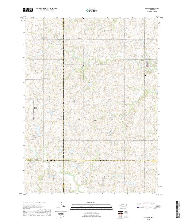
Editions of this 1965 Douglas Map
This is the sole edition of this map. No revisions or reprints were ever made.
Historical Maps of Douglas Through Time
5 maps found