2020s Maps of Hayes County, Nebraska
Explore 20 historic maps of Hayes County from the 2020s. These maps offer a rare glimpse into what life looked like during the 2020s — showing old roads, neighborhoods, homes, and landmarks that have changed or disappeared over time.
Whether you're researching your family's past, planning a metal detecting trip, or studying how Hayes County's landscape evolved across the 2020s, these high-resolution maps are a powerful tool for exploring the history of this region.
- Focus on a specific era: All maps on this page are from the 2020s, giving you a focused view of this time period.
- See what’s changed: Compare century-old streets, trails, and buildings to today's modern landscape using overlays and satellite layers.
- Research with precision: Use these maps for genealogy, historical research, land use analysis, or educational projects.
- View, download, or print: Maps are fully viewable online in high resolution, and can be downloaded or printed for your own records.
Start exploring Hayes County's history through authentic maps from the 2020s. This is your window into the past.
Hayes County, NE maps
(20)- 2021 Map of Camp Hayes Lake, 2021 Print
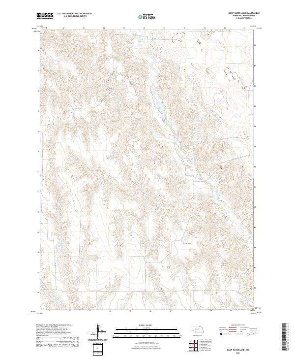 2021 Camp Hayes Lake2021 Print · USGSHayes County remains a land of deep draws and seasonal waterways in the early twenty-first century. Researchers can trace the path of Red Willow Cr, locate the Lelker Reservoir, and navigate the terrain surrounding Burger Canyon.
 - 2021 Map of Beverly, 2021 Print
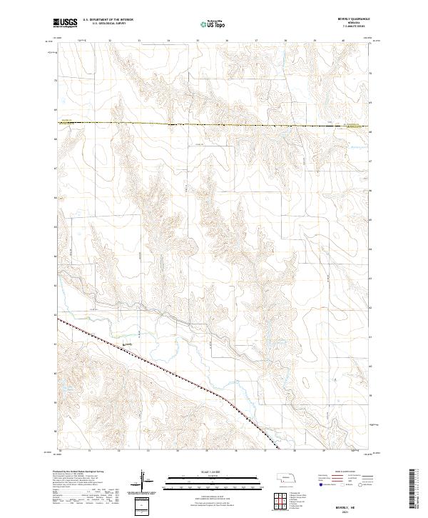 2021 Beverly2021 Print · USGSSouthwest Nebraska ranching and farming lands are documented here in the early 2020s, centered on the settlement of Beverly. Researchers can trace the path of the Culbertson Canal and Riverside Canal alongside the waters of Frenchman Creek.
 - 2021 Map of Suttlers Canyon East, 2021 Print
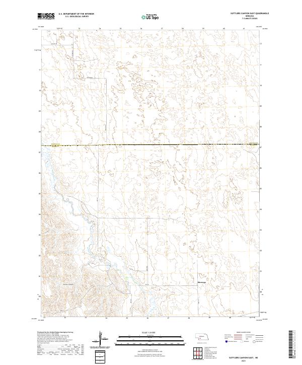 2021 Suttlers Canyon East2021 Print · USGSThe Nebraska plains at the Lincoln and Hayes county line are mapped here in the modern era. You can trace the path of Red Willow Cr through the valley and locate the small community of Marengo near Suttlers Canyon.
 - 2021 Map of Camp Hayes Lake NE, 2021 Print
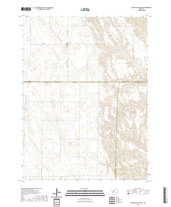 2021 Camp Hayes Lake NE2021 Print · USGSThe Nebraska high plains at the intersection of Lincoln, Hayes, and Frontier counties are captured here in the early twenty-first century. Researchers can locate the Ash Grove Cem and trace rural routes like Wagon Trail Rd and Markee Canyon Rd.
 - 2021 Map of Burger Canyon East, 2021 Print
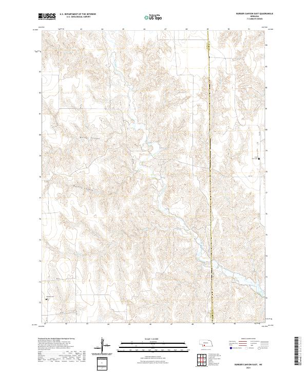 2021 Burger Canyon East2021 Print · USGSThe rural expanse between Hayes and Frontier counties comes into focus in this contemporary survey of the Nebraska canyons. Genealogists and local historians can locate rural landmarks like Saint Ann's Cem and Highland Cem near the headwaters of Red Willow Cr.
 - 2021 Map of Camp Hayes Lake SE, 2021 Print
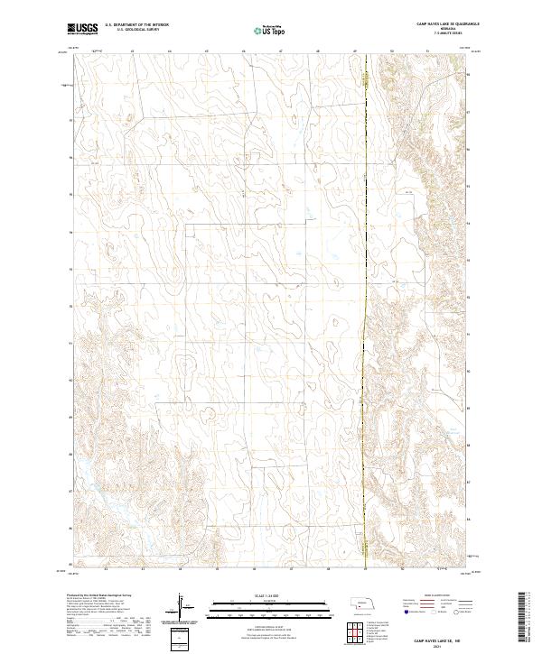 2021 Camp Hayes Lake SE2021 Print · USGSSouthwestern Nebraska farmland is mapped here at the start of the 2020s, showing the high plains landscape where the Frontier County line meets Hayes County. Local researchers can trace drainage patterns along Spring Creek and locate water features like Teel Reservoir.
 - 2021 Map of Burger Canyon West, 2021 Print
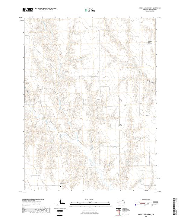 2021 Burger Canyon West2021 Print · USGSHayes County, Nebraska, remains a landscape of deep canyons and quiet prairie cemeteries in the early twenty-first century. Researchers can locate family landmarks like the German Evangelical Cem and Sacred Heart Catholic Church Cem or trace the winding path of Little Blackwood Cr.
 - 2021 Map of Burger Canyon SE, 2021 Print
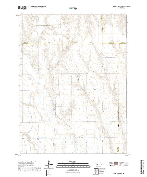 2021 Burger Canyon SE2021 Print · USGSHitchcock County at the start of the 2020s reveals a landscape meticulously organized by section lines and vital water works. Researchers can trace the path of the Culbertson Extension Canal or locate local landmarks like Hock Airport and Miller Reservoir.
 - 2021 Map of Wauneta East, 2021 Print
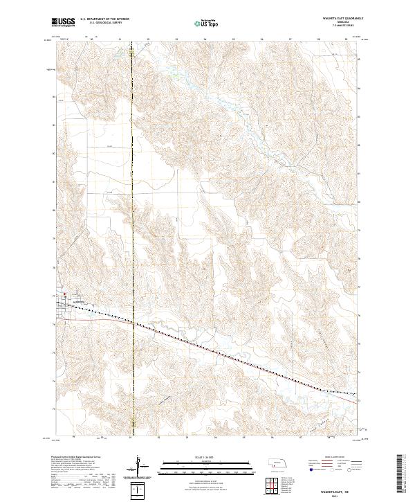 2021 Wauneta East2021 Print · USGSThe village of Wauneta sits at the edge of a dissected plains landscape in the early twenty-first century. Genealogists and local historians can trace the rural road grid and canyon systems, from the waters of Moody Reservoir to the depths of Horse Canyon.
 - 2021 Map of Wauneta SE, 2021 Print
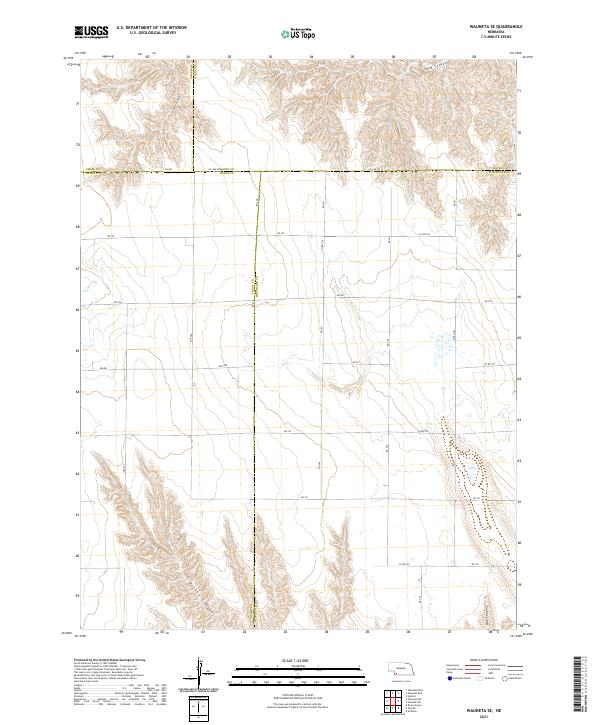 2021 Wauneta SE2021 Print · USGSHitchcock County and the surrounding Nebraska panhandle borderlands are captured here in the early twenty-first century. Genealogists and land researchers can trace property boundaries along Co Line Rd and locate geographic markers like Sand Canyon or Milken Canyon.
 - 2021 Map of Hayes Center SW, 2021 Print
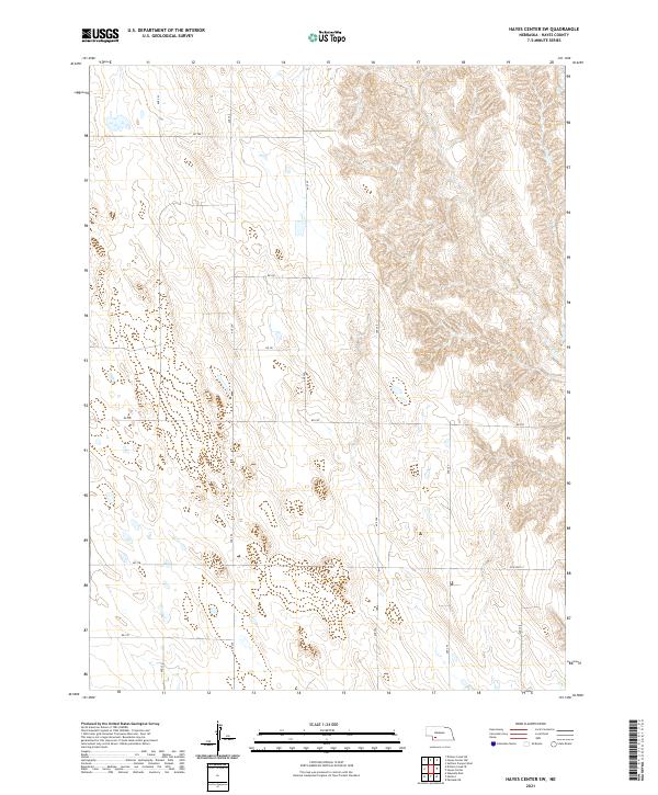 2021 Hayes Center SW2021 Print · USGSHayes County in the early 2020s remains a landscape of high plains and deep drainages defined by its section-line roads. Trace the intersection of rural life and terrain along Old Hwy 17 or follow the grid through Ave 354 and Rd 740.
 - 2021 Map of Dittons Creek SE, 2021 Print
 2021 Dittons Creek SE2021 Print · USGSNear the border of Chase and Hayes Counties in 2021, the landscape shows a network of remote section roads and prairie drainages. Genealogists and historians can locate rural burial grounds including Saint John Cemetery and Elmer Cemetery or trace the path of Stinking Water Creek.
 - 2021 Map of Hamlet, 2021 Print
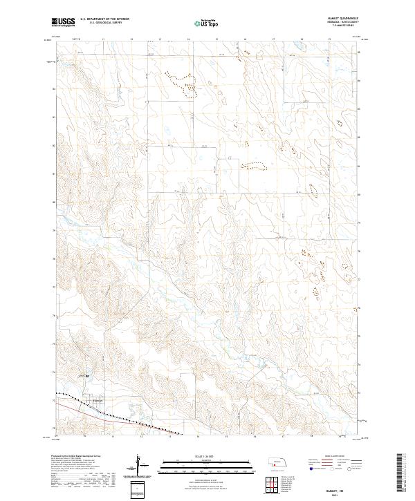 2021 Hamlet2021 Print · USGSThe rural landscape of Hayes County is captured here in the early twenty-first century, centered on the village of Hamlet. Researchers can locate Meadow Lawn Cem and trace the paths of Stinking Water Cr and Corral Canyon across the prairie.
 - 2021 Map of Palisade, 2021 Print
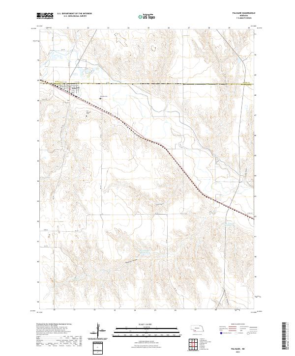 2021 Palisade2021 Print · USGSThe village of Palisade stands at the Hitchcock county line during the early twenty-first century, surrounded by a complex system of canyon drainages. Genealogists can locate the Old Palisade Cem and trace the path of the Burlington Northern Santa Fe rail line.
 - 2021 Map of Palisade SW, 2021 Print
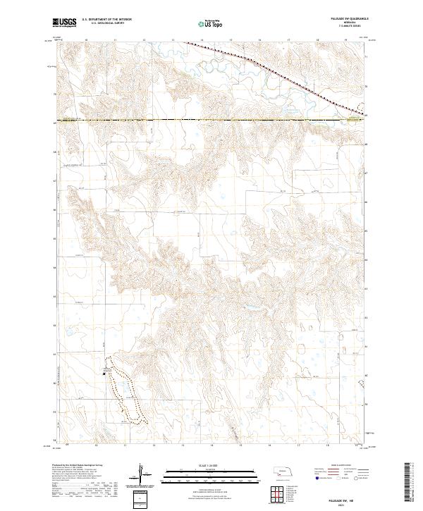 2021 Palisade SW2021 Print · USGSHitchcock and Hayes counties are captured here in the early twenty-first century as a land of deep canyons and high plateaus. Researchers can locate the Pleasant Ridge Cem and trace the waters of Kroster-Rice Reservoir and Bobtail Cr.
 - 2021 Map of Suttlers Canyon West, 2021 Print
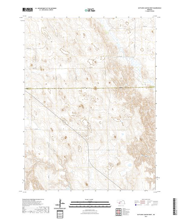 2021 Suttlers Canyon West2021 Print · USGSThe high plains of the Nebraska borderland come into focus in this contemporary survey of the Lincoln and Hayes county line. Trace the remote landscape where Suttlers Canyon meets the local road network of Bubble Rd and Scott Reservoir.
 - 2021 Map of Hayes Center, 2021 Print
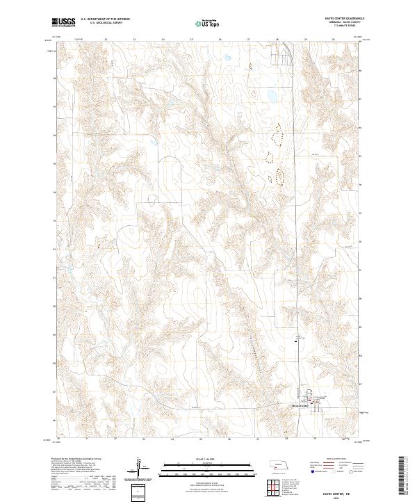 2021 Hayes Center2021 Print · USGSHayes Center at the start of the 2020s remains the heart of Hayes County, where the High Plains landscape meets civic life. Local researchers can pinpoint the Hayes County Courthouse and Hayes Center Cem, or trace the path of Blackwood Cr through Government Canyon.
 - 2021 Map of Hayes Center NW, 2021 Print
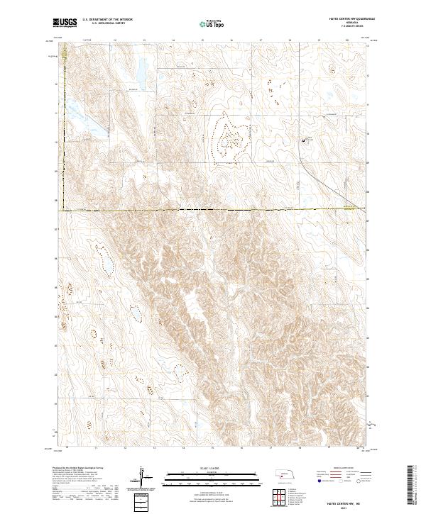 2021 Hayes Center NW2021 Print · USGSThe high plains of southwest Nebraska appear here in the early 2020s, showing a land of deep draws and rural section-line roads. Genealogists and local historians can locate Pleasant View Cem and trace the course of Blackwood Creek across the county line.
 - 2021 Map of Dittons Creek NE, 2021 Print
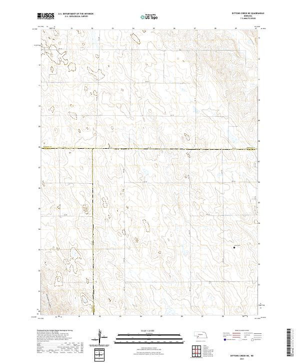 2021 Dittons Creek NE2021 Print · USGSThe intersection of Chase, Perkins, and Hayes counties comes into focus in this modern survey of the Nebraska high plains. Genealogists and local historians can locate the Attica Cem and trace the distinctive drainage of Cliff Dwellers Canyon.
 - 2021 Map of Palisade NE, 2021 Print
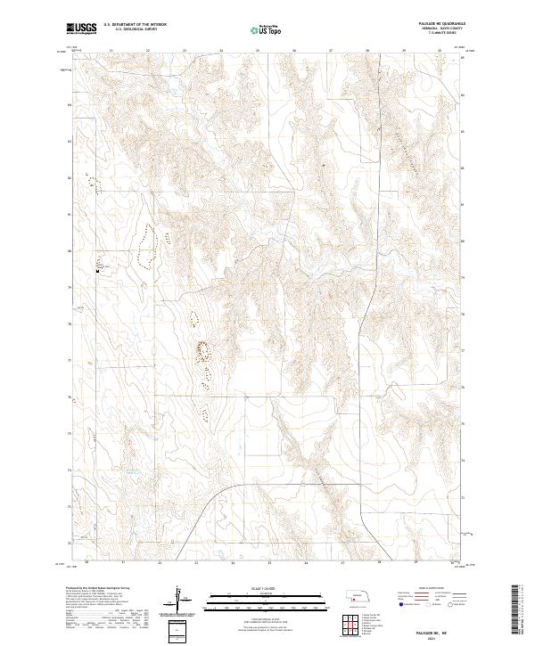 2021 Palisade NE2021 Print · USGSHayes County, Nebraska, is seen here in a recent survey that captures the enduring rural character of its canyon-cut tablelands. Researchers can locate family landmarks such as the Union Mission Cem and water features like Smith Reservoir.
End of results
Showing maps 1-20 of 20
Top cities of Hayes County
Frequently asked questions
- What are the different types of historical maps available for Hayes County?
- What is the oldest map of Hayes County?
- Where can I purchase historical maps of Hayes County for my home or office?
- Where can I download high-res historical maps of Hayes County?
- Are there historical topographic maps available for Hayes County?
- Is there historical aerial imagery available for Hayes County?
- Where are historical maps of Hayes County sourced from?