Old Maps of Hayes County, Nebraska for Metal Detecting
Plan your next treasure hunt with 108 historic maps of Hayes County. Find old homesites, ghost towns, trails, and gathering spots that may be lost to time — perfect for identifying promising metal detecting locations.
- Locate forgotten sites: Uncover places like long-lost settlements, abandoned rail lines, or gathering spots.
- Plan better hunts: Use map overlays combined with LiDAR or satellite views to narrow in on historically rich areas.
- Made for detectorists: Thousands of hobbyists use these maps to discover relics, coins, and hidden history.
Use these historic maps to boost your research and find new opportunities beneath the surface of Hayes County.
Hayes County, NE maps
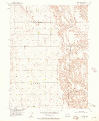
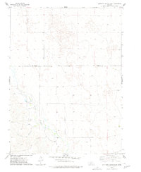
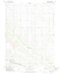
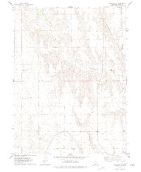
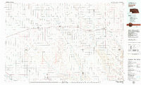
(108)- 1954 Map of McCook, 1966 Print
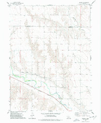
 1954 McCook1966 Print · USGSSouthwest Nebraska in the mid-fifties reveals a landscape shaped by major water projects and the Chicago Burlington and Quincy RR. Trace ancestral roots and defunct rail stops in McCook, Wauneta, and along the shores of Swanson Lake.2 unique versions available
 - 1956 Map of White NE, 1957 Print
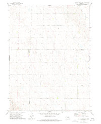
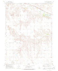
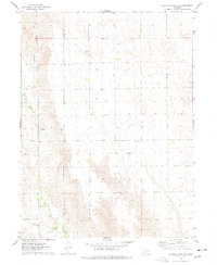
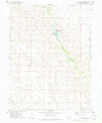
 1956 White NE1957 Print · USGSThe rural intersection of Hayes, Lincoln, and Frontier counties is documented here in the mid-fifties, capturing a landscape of remote farmsteads and prairie creeks. Genealogists can locate family landmarks like Ash Grove Cem, Ash Grove Sch, and Valley Sch.2 unique versions available
 - 1957 Map of McCook
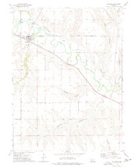
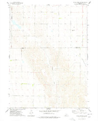
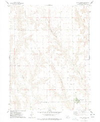
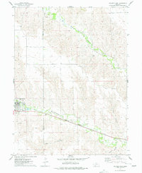
 1957 McCook1957 Print · USGSSouthwestern Nebraska in the mid-fifties is captured here during a period of significant water development and rail-based commerce. Researchers can trace the path of the Chicago Burlington and Quincy through Indianola and Bartley, or locate rural settlements like Chase Village and Ough near the Sand Hills.
 - 1958 Map of McCook
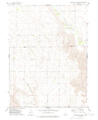
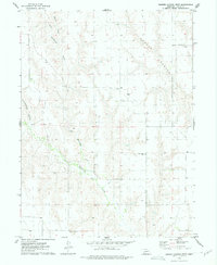
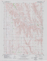
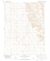
 1958 McCook1958 Print · USGSSouthwest Nebraska during the late fifties reveals a landscape of massive new reservoirs and established rail hubs like McCook. Genealogists can trace family footprints through rural centers like St Johns Church and the many grain elevators along the Union Pacific RR.2 unique versions available
 - 1970 Map of Burger Canyon SE, 1972 Print
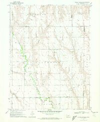 1970 Burger Canyon SE1972 Print · USGSSouthwestern Nebraska in the early 1970s was defined by the intersection of four counties and the intricate engineering of the Blackwood Creek valley. Researchers can trace the sophisticated irrigation network of the Culbertson Siphon Extension Canal and locate rural landmarks like the Beebe Landing Strip.
 - 1970 Map of Burger Canyon East, 1975 Print
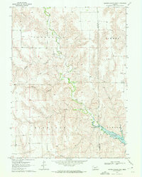 1970 Burger Canyon East1975 Print · USGSThe Hayes and Frontier county line in the early 1970s shows a changing Nebraska landscape following the creation of Hugh Butler Lake. Researchers can trace old rural centers like St Ann Ch, School No 116, and the remote Beebe Landing Strip.
 - 1973 Map of Camp Hayes Lake SE, 1977 Print
 1973 Camp Hayes Lake SE1977 Print · USGSSouthwestern Nebraska's rural plains are captured here in the early seventies, detailing the sparse agricultural settlement along the Hayes and Frontier County line. Researchers can trace local landmarks like St John Ch, Evergreen Union Ch, and the course of Red Willow Creek.
 - 1973 Map of Suttlers Canyon East, 1977 Print
 1973 Suttlers Canyon East1977 Print · USGSThe high plains along the Lincoln and Hayes county line are captured here in the early 1970s, showcasing a landscape defined by ranching and water management. Trace the path of Suttlers Canyon and locate the small settlement at Marengo or the course of Red Willow Creek.
 - 1973 Map of Dittons Creek NE, 1977 Print
 1973 Dittons Creek NE1977 Print · USGSThe rural borderlands of Perkins, Chase, and Hayes counties are documented here in the early 1970s during a period of steady agricultural use. Researchers can locate the Attica Cem and trace the drainage of Blackwood Creek past various local Well sites.
 - 1973 Map of Palisade, 1977 Print
 1973 Palisade1977 Print · USGSPalisade sat at the confluence of prairie creeks and the railroad during the early 1970s. Researchers can trace the layout of the town, find three burial sites like Old Palisade Cem, and follow the deep cuts of Massacre Canyon and Boevau Canyon.
 - 1973 Map of Suttlers Canyon West, 1977 Print
 1973 Suttlers Canyon West1977 Print · USGSThe high plains of the Nebraska panhandle are captured here in the early seventies, spanning the border between Hayes and Lincoln counties. Researchers can trace the drainage of Red Willow Creek and find rural landmarks like the Lakeview Sch and Suttlers Canyon.
 - 1973 Map of Beverly, 1977 Print
 1973 Beverly1977 Print · USGSThe small settlement of Beverly sits at the heart of this mid-1970s survey of the Frenchman Creek valley. Genealogists and researchers can trace the path of the Burlington Northern railroad and the intricate network of the Culbertson Canal.
 - 1973 Map of Palisade SW, 1977 Print
 1973 Palisade SW1977 Print · USGSHitchcock and Hayes Counties were largely defined by the course of Frenchman Creek in the 1970s. Researchers can trace the rails of the Burlington Northern, the village of Hamlet, and local sites like Pleasant Ridge Cem.
 - 1973 Map of Hayes Center NW, 1977 Print
 1973 Hayes Center NW1977 Print · USGSSouthwest Nebraska during the early seventies is captured here, showing the rural landscape where Hayes and Lincoln counties meet. Genealogists and local historians can trace family ties at Pleasant View Cem and follow the path of Blackwood Creek.
 - 1973 Map of Burger Canyon West, 1977 Print
 1973 Burger Canyon West1977 Print · USGSHayes County's rural landscape is captured here in the early seventies, detailing the drainage basins and remote homesteads of the Nebraska plains. Family historians can trace landmarks like Sacred Heart Ch, Pleasant Ridge Cem, and the German Evangelical Cem.
 - 1973 Map of Wauneta SE, 1977 Print
 1973 Wauneta SE1977 Print · USGSThe high plains of southwest Nebraska in the 1970s show a landscape shaped by massive drainages at the junction of four counties. Researchers can trace the layout of rural homesteads and social centers like Eden Ch and the Community Hall near Horse Canyon.
 - 1974 Map of Hamlet, 1977 Print
 1974 Hamlet1977 Print · USGSHamlet and the Frenchman Creek valley are captured here in the mid-seventies, showing the intersection of the Burlington Northern rail line and prairie ranching life. Researchers can locate the Meadow Lawn Cem and trace the paths of Stinking Water Creek and Corral Canyon.
 - 1974 Map of Dittons Creek SE, 1977 Print
 1974 Dittons Creek SE1977 Print · USGSThe high plains of the Nebraska panhandle are captured in the mid-1970s as agricultural life centered on the local water systems. Researchers can locate family landmarks such as St John Cem, Elmer Cem, and the winding Stinking Water Creek.
 - 1974 Map of Hayes Center, 1977 Print
 1974 Hayes Center1977 Print · USGSHayes Center and the surrounding plains of Hayes County are captured here during the mid-seventies. Researchers can locate the Hayes Center Cem and trace the winding paths of Blackwood Creek and Government Canyon.
 - 1974 Map of Palisade NE, 1977 Print
 1974 Palisade NE1977 Print · USGSHayes County, Nebraska, is captured in the mid-1970s as an agricultural landscape defined by its deep canyon drainages. Researchers can trace land use patterns near Government Canyon or locate the historic Union Mission Cem.
 - 1974 Map of Palisade, 1977 Print
 1974 Palisade1977 Print · USGSThe Nebraska plains at the junction of Hitchcock and Hayes counties are revealed in this mid-seventies survey. Genealogists and researchers can locate the Union Mission Cem and trace the winding paths of Blackwood Creek and Government Canyon.
 - 1974 Map of Camp Hayes Lake, 1977 Print
 1974 Camp Hayes Lake1977 Print · USGSHayes County's high plains landscape is captured in the mid-seventies, centered on the waters of Camp Hayes Lake. Researchers can trace the drainage of Red Willow Creek or locate local landmarks like the Campground and Burger Canyon.
 - 1974 Map of Wauneta East, 1977 Print
 1974 Wauneta East1977 Print · USGSNear the Chase and Hayes county line in the mid-1970s, the village of Wauneta thrives along the rail and river corridors of the Nebraska plains. Local researchers can trace the Burlington Northern rail line as it follows Frenchman Creek past several Radio Towers and deep draws like Trail Canyon.
 - 1974 Map of Hayes Center SW, 1977 Print
 1974 Hayes Center SW1977 Print · USGSHayes County in the mid-1970s is shown here as a landscape of rural utility and drainage. Researchers can trace the path of Blackwood Creek and identify several instances of a Well across this isolated part of the Nebraska plains.
 - 1979 Map of Imperial
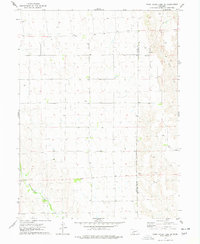
 1979 Imperial1979 Print · USGSThe high plains of southwest Nebraska are captured here in the late seventies, showing a landscape defined by rail corridors and creek draws. Genealogists can trace family names and sites through Imperial, Wallace, and Hayes Center, or locate rural landmarks like Arterburn Lake.
Showing maps 1-25 of 108
Top cities of Hayes County
Frequently asked questions
- What are the different types of historical maps available for Hayes County?
- What is the oldest map of Hayes County?
- Where can I purchase historical maps of Hayes County for my home or office?
- Where can I download high-res historical maps of Hayes County?
- Are there historical topographic maps available for Hayes County?
- Is there historical aerial imagery available for Hayes County?
- Where are historical maps of Hayes County sourced from?