Old Maps of Kelso, Nebraska for Hiking & Exploration
Hike through history with 10 historic maps of Kelso. Explore old trails, ghost towns, and forgotten backroads — perfect for outdoor adventurers and local explorers.
- Rediscover forgotten places: Map out old mining camps, roads, and footpaths that no longer exist on modern maps.
- Layer with modern tools: Combine with LiDAR or satellite views to plan hikes through historical terrain.
- Made for exploration: Popular among hikers, overlanders, and local history lovers.
Use these maps to find adventure and explore the hidden past of Kelso.
Kelso, NE maps
(10)- 1948 Map of Seneca, 1956 Print
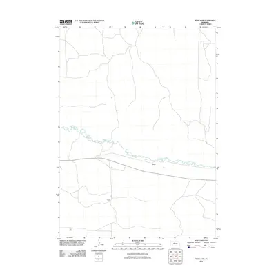
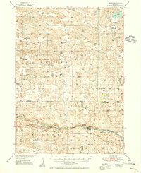 1948 Seneca1956 Print · USGSThe Middle Loup River valley in the late 1940s served as a lifeline for ranching and rail. Genealogists can trace family-named landmarks like Phillips Ranch and Simonson and Lowe Ranch or locate the old Virginia Sch.3 unique versions available
 - 1951 Map of Seneca
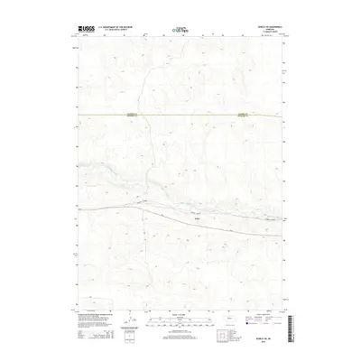
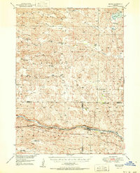 1951 Seneca1951 Print · USGSSeneca and the surrounding Nebraska Sandhills are caught mid-century along the rail-and-river corridor of the Middle Loup. Genealogists and historians can trace family ranch lands like Metz Ranch, find old schoolhouses such as Huddle Sch, and locate the James Cem burial ground.2 unique versions available
 - 1957 Map of Valentine, 1960 Print
 1957 Valentine1960 Print · USGSNorthern Nebraska's ranching country and the vast Sand Hills are detailed here in the late fifties. Genealogists and historians can locate numerous family-named landmarks like the Dahlgren Ranch and trace the path of the Chicago and North Western railroad through Valentine.3 unique versions available
 - 1959 Map of Valentine
 1959 Valentine1959 Print · USGSThe northern Nebraska Sand Hills are captured here in the late fifties, showcasing a vast ranching landscape shaped by the Niobrara and Loup rivers. Genealogists and historians can trace rail-town development along the Chicago and North Western and locate remote outposts like Brownlee or Kennedy.
 - 1985 Map of Goose Creek
 1985 Goose Creek1985 Print · USGSCentral Nebraska's Sandhills come into focus in the mid-eighties, showing a landscape of remote ranching outposts and wildlife preserves. Trace old rail routes and rural settlements like Brownlee, Seneca, and Purdum along the Goose Creek watershed.2 unique versions available
 - 1988 Map of Seneca SW
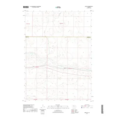
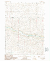 1988 Seneca SW1988 Print · USGSThe Nebraska Sandhills come into focus in the late eighties as the Middle Loup River carves through the ranching country of the Cherry and Hooker County line. Researchers can trace family landholdings at Morris Ranch, Peterson Ranch, and the small riverbank siding of Keiso.
 - 2011 Map of Seneca SW, 2011 Print
 2011 Seneca SW2011 Print · USGSCovers Kelso, including Hooker County, Cherry County, and other nearby areas
 - 2014 Map of Seneca SW, 2014 Print
 2014 Seneca SW2014 Print · USGSCovers Kelso, including Hooker County, Cherry County, and other nearby areas
 - 2017 Map of Seneca SW, 2017 Print
 2017 Seneca SW2017 Print · USGSCovers Kelso, including Hooker County, Cherry County, and other nearby areas
 - 2021 Map of Seneca SW, 2021 Print
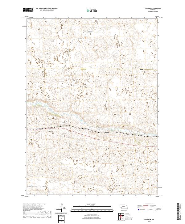 2021 Seneca SW2021 Print · USGSThe Nebraska Sandhills come into focus in this recent survey of the lands where the Cherry Co and Hooker Co lines meet. Local researchers can trace the course of the Middle Loup River past the settlement at Kelso.
End of results
Showing maps 1-10 of 10
Top cities near Kelso
Frequently asked questions
- What are the different types of historical maps available for Kelso?
- What is the oldest map of Kelso?
- Where can I purchase historical maps of Kelso for my home or office?
- Where can I download high-res historical maps of Kelso?
- Are there historical topographic maps available for Kelso?
- Is there historical aerial imagery available for Kelso?
- Where are historical maps of Kelso sourced from?