Old Maps of Owasco, Nebraska for Genealogy
Trace your family roots with 8 historic maps of Owasco. These high-res maps reveal old neighborhoods, homesites, landmarks, and streets — helping you uncover where your ancestors lived and how the area evolved over time.
- Explore historic neighborhoods: Identify where your relatives may have lived in the 1800s or 1900s.
- Compare maps over time: Trace the changes in streets, buildings, and landmarks for multi-generational research.
- Perfect for genealogy & ancestry research: Used by family historians and researchers to map out lineage and migration.
These maps are an incredible resource for exploring your personal connection to Owasco's past.
Owasco, NE maps
(8)- 1954 Map of Scottsbluff, 1958 Print
 1954 Scottsbluff1958 Print · USGSThe Nebraska Panhandle's iconic landmarks and rail corridors are captured here during the mid-1950s. Researchers can trace the path of the North Platte River past Chimney Rock or locate the sprawling Sioux Ordnance Depot and the historic streets of Sidney.3 unique versions available
 - 1958 Map of Scottsbluff
 1958 Scottsbluff1958 Print · USGSThe Nebraska panhandle in the late fifties was a vital corridor of rail-and-river transport defined by the North Platte River and the Union Pacific. Genealogists and historians can trace rail stops like Reddus Station, explore the grounds of the Sioux Ordnance Depot, or locate landmarks like Chimney Rock.2 unique versions available
 - 1972 Map of Owasco, 1975 Print
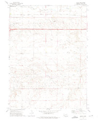 1972 Owasco1975 Print · USGSKimball County's high plains are captured here in the early seventies, showing a landscape shaped by energy production and the railroad. Researchers can trace the UNION PACIFIC line through Owasco and locate specific sites like the Four Winds Country Club or the local OIL FIELD.
 - 1985 Map of Kimball
 1985 Kimball1985 Print · USGSThe Nebraska-Colorado borderlands in the mid-1980s show a landscape of oil production and transcontinental rail. Trace the rail corridor through Bushnell, Dix, and Potter or locate the sprawling Ammunition Depot (Abandoned) near Brownson.2 unique versions available
 - 2011 Map of Owasco, 2011 Print
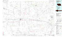
 2011 Owasco2011 Print · USGSCovers Owasco, including Kimball County, United States, and other nearby areas
 - 2014 Map of Owasco, 2014 Print
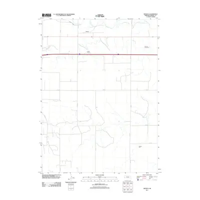
 2014 Owasco2014 Print · USGSCovers Owasco, including Kimball County, United States, and other nearby areas
 - 2017 Map of Owasco, 2017 Print
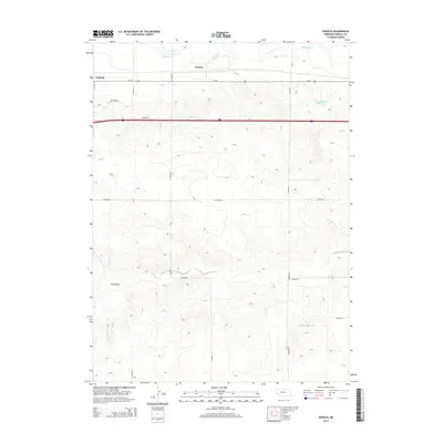
 2017 Owasco2017 Print · USGSCovers Owasco, including Kimball County, United States, and other nearby areas
 - 2021 Map of Owasco, 2021 Print
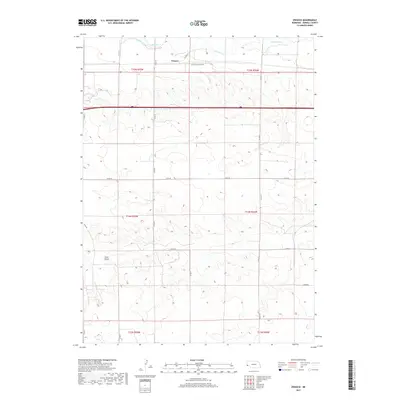
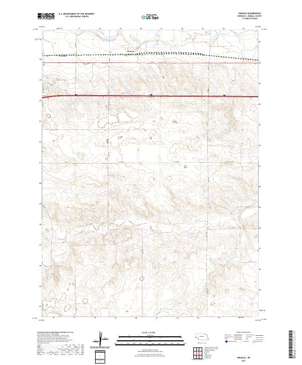 2021 Owasco2021 Print · USGSKimball County's panhandle landscape is documented here in the early twenty-first century, showing the enduring agricultural patterns of the High Plains. Genealogists and local historians can trace the rural sections around Owasco and the drainage of Sand Draw along the Lodgepole Cr corridor.
End of results
Showing maps 1-8 of 8
Top cities near Owasco
Frequently asked questions
- What are the different types of historical maps available for Owasco?
- What is the oldest map of Owasco?
- Where can I purchase historical maps of Owasco for my home or office?
- Where can I download high-res historical maps of Owasco?
- Are there historical topographic maps available for Owasco?
- Is there historical aerial imagery available for Owasco?
- Where are historical maps of Owasco sourced from?