
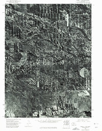
1972 Map of Owasco
USGS Topo · Published 1975About this map
Union Pacific tracks and the seasonal flow of Lodgepole Creek define the northern corridor of this Kimball County landscape, where the small settlement of Owasco sits at a critical junction of rail and water. The map documents an era of significant energy and recreational development in western Nebraska, as evidenced by a sprawling Oil Field and the extensive network of Pipeline routes that crisscross the plains.
Find a feature on this map
11 named features on this map. Tap any name to fly to it.
Don’t see what you’re looking for? This feature index may not catch every label — zoom into the map to look around manually.
Map Details
Editions of this 1972 Owasco Map
This is the sole edition of this map. No revisions or reprints were ever made.
Other maps of this area

1954 · Scottsbluff
USGS Topo · 1:250,000

1958 · Scottsbluff
USGS Topo · 1:250,000

1972 · Potter SW
USGS Topo · 1:24,000

1972 · Dix
USGS Topo · 1:24,000

1972 · Kimball SE
USGS Topo · 1:24,000

1972 · Kimball SW
USGS Topo · 1:24,000

1972 · Kimball
USGS Topo · 1:24,000

1973 · Potter 2 SW
USGS Topo · 1:24,000

1973 · Kimball 1 SE
USGS Topo · 1:24,000
1973 · Kimball 1 SW
USGS Topo · 1:24,000