Old Maps of Wellfleet, Nebraska for Genealogy
Trace your family roots with 14 historic maps of Wellfleet. These high-res maps reveal old neighborhoods, homesites, landmarks, and streets — helping you uncover where your ancestors lived and how the area evolved over time.
- Explore historic neighborhoods: Identify where your relatives may have lived in the 1800s or 1900s.
- Compare maps over time: Trace the changes in streets, buildings, and landmarks for multi-generational research.
- Perfect for genealogy & ancestry research: Used by family historians and researchers to map out lineage and migration.
These maps are an incredible resource for exploring your personal connection to Wellfleet's past.
Wellfleet, NE maps
(14)- 1954 Map of McCook, 1966 Print
 1954 McCook1966 Print · USGSSouthwest Nebraska in the mid-fifties reveals a landscape shaped by major water projects and the Chicago Burlington and Quincy RR. Trace ancestral roots and defunct rail stops in McCook, Wauneta, and along the shores of Swanson Lake.2 unique versions available
 - 1956 Map of Curtis NW, 1957 Print
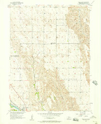
 1956 Curtis NW1957 Print · USGSThe Nebraska high plains at the Frontier and Lincoln county line were defined by the deep canyons and rail-side settlements of the mid-fifties. Researchers can trace the Chicago Burlington and Quincy line as it connects Wellfleet and Maywood along the banks of Medicine Creek.3 unique versions available
 - 1956 Map of Wellfleet, 1957 Print
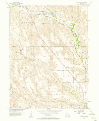
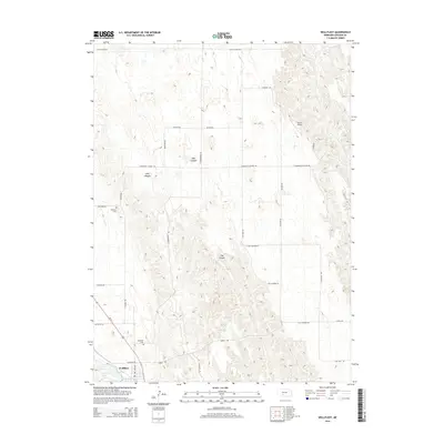
 1956 Wellfleet1957 Print · USGSWellfleet and the surrounding Lincoln County canyons are captured in the mid-1950s as a rail-dependent prairie community. Genealogists can trace family landmarks like Lutheran Cem, Echo Sch, and the Wellfleet Cem along the Chicago Burlington and Quincy tracks.3 unique versions available
 - 1957 Map of McCook
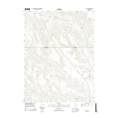
 1957 McCook1957 Print · USGSSouthwestern Nebraska in the mid-fifties is captured here during a period of significant water development and rail-based commerce. Researchers can trace the path of the Chicago Burlington and Quincy through Indianola and Bartley, or locate rural settlements like Chase Village and Ough near the Sand Hills.
 - 1958 Map of McCook
 1958 McCook1958 Print · USGSSouthwest Nebraska during the late fifties reveals a landscape of massive new reservoirs and established rail hubs like McCook. Genealogists can trace family footprints through rural centers like St Johns Church and the many grain elevators along the Union Pacific RR.2 unique versions available
 - 1979 Map of Gothenburg
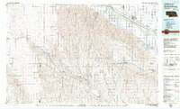 1979 Gothenburg1979 Print · USGSThe Nebraska Loess Hills and the Platte River valley are captured here in the late seventies, showing a landscape defined by irrigation and rail. Researchers can trace the Union Pacific line through Gothenburg, locate family sites near Eustis, or explore the canyon country around Stockville.
 - 2011 Map of Curtis NW, 2011 Print
 2011 Curtis NW2011 Print · USGSCovers Wellfleet, including Maywood, Lincoln County, and other nearby areas
 - 2011 Map of Wellfleet, 2011 Print
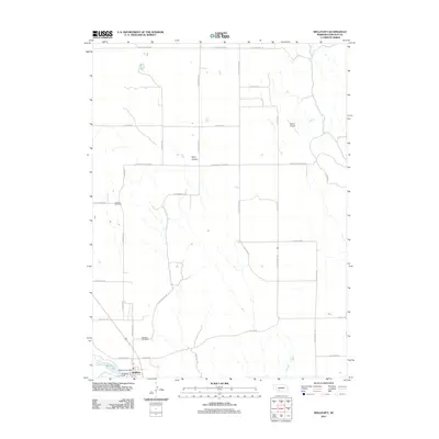 2011 Wellfleet2011 Print · USGSCovers Wellfleet, including Lincoln County, United States, and other nearby areas
 - 2014 Map of Curtis NW, 2014 Print
 2014 Curtis NW2014 Print · USGSCovers Wellfleet, including Maywood, Lincoln County, and other nearby areas
 - 2014 Map of Wellfleet, 2014 Print
 2014 Wellfleet2014 Print · USGSCovers Wellfleet, including Lincoln County, United States, and other nearby areas
 - 2017 Map of Wellfleet, 2017 Print
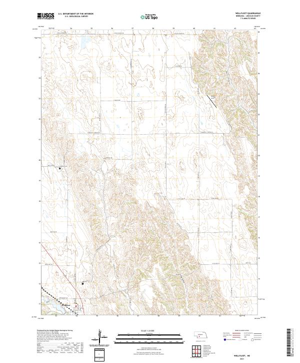
 2017 Wellfleet2017 Print · USGSCovers Wellfleet, including Lincoln County, United States, and other nearby areas
 - 2017 Map of Curtis NW, 2017 Print
 2017 Curtis NW2017 Print · USGSCovers Wellfleet, including Maywood, Lincoln County, and other nearby areas
 - 2021 Map of Curtis NW, 2021 Print
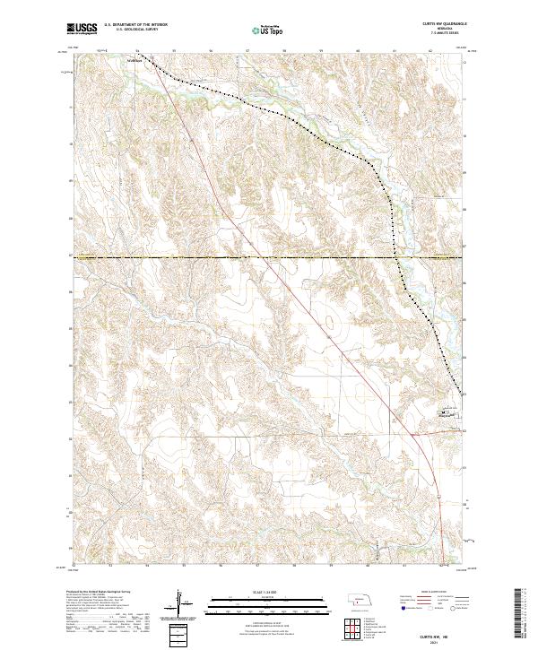 2021 Curtis NW2021 Print · USGSWestern Nebraska rangeland and deep canyon systems define the landscape between Lincoln and Frontier counties in the 2020s. Researchers can trace rural cemetery locations like Maywood Cem and spring-fed water sources such as Opal Spring and Farmers Lake.
 - 2021 Map of Wellfleet, 2021 Print
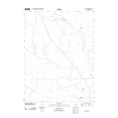
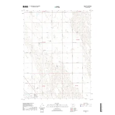
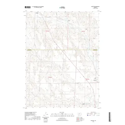
 2021 Wellfleet2021 Print · USGSThe village of Wellfleet is the focal point of this Lincoln County survey from the early 2020s. Researchers can trace rural lineages at the Wellfleet Cem and Lutheran Cem or locate the remote Detour Airport set against Bell Prairie.
End of results
Showing maps 1-14 of 14
Top cities near Wellfleet
Frequently asked questions
- What are the different types of historical maps available for Wellfleet?
- What is the oldest map of Wellfleet?
- Where can I purchase historical maps of Wellfleet for my home or office?
- Where can I download high-res historical maps of Wellfleet?
- Are there historical topographic maps available for Wellfleet?
- Is there historical aerial imagery available for Wellfleet?
- Where are historical maps of Wellfleet sourced from?