Old Maps of Battle Creek, Nebraska
Explore 18 old maps of Battle Creek, spanning from 1955 to today. These high-resolution historic maps reveal how streets, neighborhoods, landmarks, and natural features evolved over time — perfect for genealogy, metal detecting, research, and local history exploration.
What you can do with these maps:
- See how Battle Creek changed over time: Compare historical maps to modern-day views to trace roads, homesites, rail lines & more.
- View detailed metadata: Each map includes creators, publishers, year, scale, and archive source.
- Overlay maps with satellite & LiDAR: Visualize the past alongside modern tools to explore terrain & human change.
- Trusted historical sources: Maps sourced from the USGS, Library of Congress, and other archives.
- Access maps your way: View online, download high-res files, or order prints for personal or research use.
Start exploring old maps of Battle Creek to uncover forgotten places, hidden landmarks, and the deep history beneath your feet.
Battle Creek, NE maps
(18)- 1955 Map of Sioux City, 1959 Print
 1955 Sioux City1959 Print · USGSThe Missouri River valley in the mid-fifties is captured here during a time of major engineering and social transition. Genealogists and historians can trace the foundations of Gavins Point Dam, tribal boundaries on the Santee Sioux Indian Reservation, and local landmarks like the Norfolk State Hospital.4 unique versions available
 - 1955 Map of Fremont, 1966 Print
 1955 Fremont1966 Print · USGSEastern Nebraska and the Missouri River border are captured during the mid-fifties, just as the interstate system began to emerge. Researchers can trace the development of Omaha, locate the sprawling Offutt Air Force Base, or study the river-bound ecology of the De Soto National Wildlife Refuge.3 unique versions available
 - 1957 Map of Fremont
 1957 Fremont1957 Print · USGSEastern Nebraska and western Iowa thrive along the Platte and Missouri rivers during the mid-fifties. Genealogists can locate small rural schools like Fairview School and tracing the paths of the Union Pacific through towns like Albion and Humphrey.
 - 1958 Map of Sioux City
 1958 Sioux City1958 Print · USGSThe Missouri River valley in the late fifties was a bustling intersection of tribal lands, rail corridors, and river towns. Genealogists can trace family roots through specific rural sites like Daisy Valley School, St Johns Church and School, and Yankton State Hospital.
 - 1958 Map of Fremont
 1958 Fremont1958 Print · USGSEastern Nebraska in the late fifties is captured here as a thriving corridor of river-valley commerce and rail transport. Researchers can trace the development of Omaha and Fremont or locate local landmarks like Midland College and Offutt Air Force Base.
 - 1959 Map of Sioux City
 1959 Sioux City1959 Print · USGSThe tri-state region surrounding the Missouri River is captured here in the late fifties, showing the convergence of Nebraska, South Dakota, and Iowa. Researchers can trace rural lineages through numerous country schoolhouses like Cemetery School and the many numbered Washington School districts.
 - 1963 Map of Battle Creek, 1964 Print
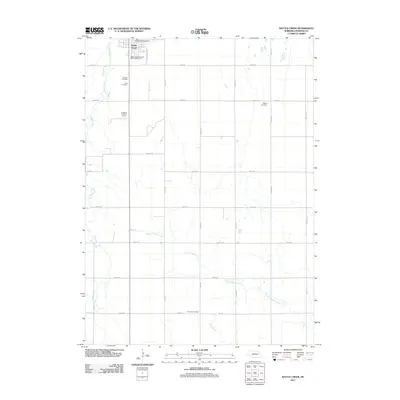
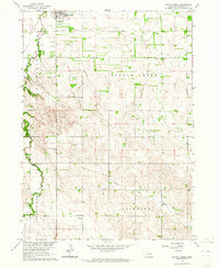 1963 Battle Creek1964 Print · USGSBattle Creek and its surrounding Madison County townships are captured in the early sixties as a thriving network of rural communities. Family researchers can trace exact locations for Allbery Cem, Fairview Ch, and several local landmarks like St Peters Sch.2 unique versions available
 - 1963 Map of Pierce SE, 1964 Print
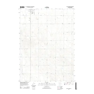
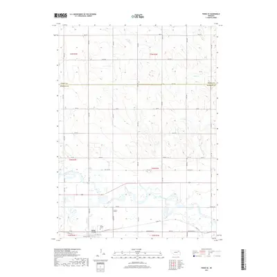
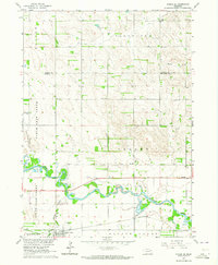 1963 Pierce SE1964 Print · USGSMadison and Pierce counties come alive in the early sixties, showing the agricultural heartland centered on the Battle Creek community. Genealogists can trace family roots through numerous rural schoolhouses like Dederman Sch and the grounds of St Patricks Cem.2 unique versions available
 - 1985 Map of Stanton
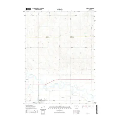
 1985 Stanton1985 Print · USGSNortheast Nebraska in the mid-eighties shows a landscape of river-valley agriculture and evolving rail networks. Genealogists can trace family footprints through Stanton and Madison, or locate historical markers like the Old Indian Treaty Boundary and Saint Bernard.2 unique versions available
 - 1985 Map of Norfolk, 1986 Print
 1985 Norfolk1986 Print · USGSNortheast Nebraska in the mid-eighties shows a landscape shaped by the Elkhorn River and established rail corridors. Trace the growth of towns like Norfolk and Wayne, locating institutional landmarks such as Wayne State College and Norfolk Regional Center.2 unique versions available
 - 2011 Map of Pierce SE, 2011 Print
 2011 Pierce SE2011 Print · USGSCovers Battle Creek, including Pierce County, Madison County, and other nearby areas
 - 2011 Map of Battle Creek, 2011 Print
 2011 Battle Creek2011 Print · USGSCovers Battle Creek, including Madison County, United States, and other nearby areas
 - 2014 Map of Battle Creek, 2014 Print
 2014 Battle Creek2014 Print · USGSCovers Battle Creek, including Madison County, United States, and other nearby areas
 - 2014 Map of Pierce SE, 2014 Print
 2014 Pierce SE2014 Print · USGSCovers Battle Creek, including Pierce County, Madison County, and other nearby areas
 - 2017 Map of Battle Creek, 2017 Print
 2017 Battle Creek2017 Print · USGSCovers Battle Creek, including Madison County, United States, and other nearby areas
 - 2017 Map of Pierce SE, 2017 Print
 2017 Pierce SE2017 Print · USGSCovers Battle Creek, including Pierce County, Madison County, and other nearby areas
 - 2021 Map of Battle Creek, 2021 Print
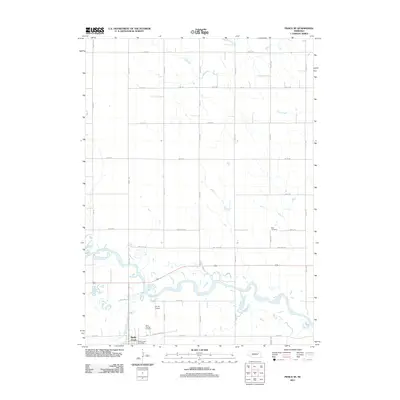
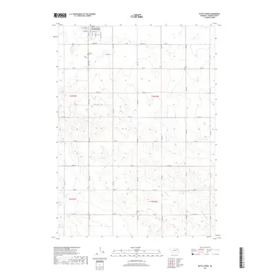
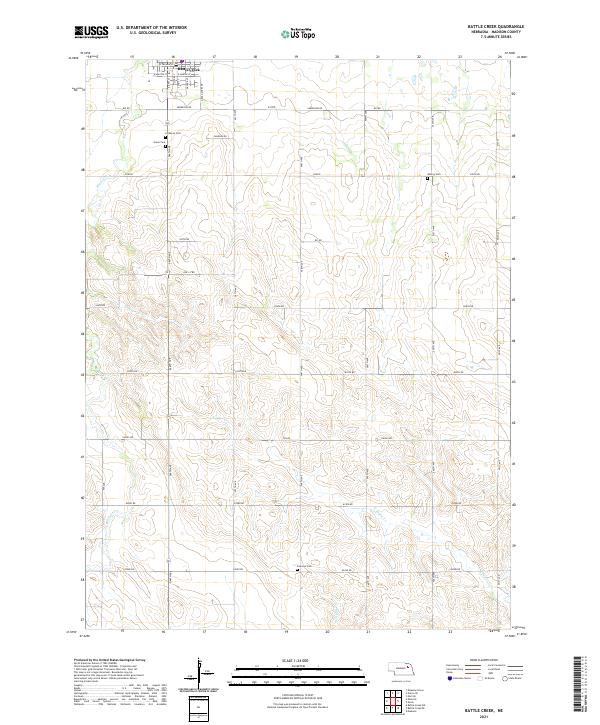 2021 Battle Creek2021 Print · USGSMadison County, Nebraska, is shown in the early 2020s as a landscape of structured agricultural sections and wandering creek beds. Family historians can locate several burial grounds including Union Cemetery and Allbery Cemetery alongside the waters of Battle Creek.
 - 2021 Map of Pierce SE, 2021 Print
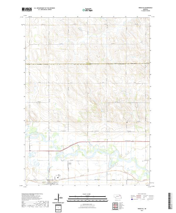 2021 Pierce SE2021 Print · USGSMadison County's agricultural heartland comes into focus in the early 2020s as the Elkhorn River winds through the landscape. Researchers can pinpoint Battle Creek family landmarks like Saint Patricks Cem and trace the modern path of the Cowboy Trl rail-trail.
End of results
Showing maps 1-18 of 18
Top cities near Battle Creek
- Norfolk historical maps
- Madison historical maps
- Pierce historical maps
- Tilden historical maps
- Hadar historical maps
- Meadow Grove historical maps
See more
Frequently asked questions
- What are the different types of historical maps available for Battle Creek?
- What is the oldest map of Battle Creek?
- Where can I purchase historical maps of Battle Creek for my home or office?
- Where can I download high-res historical maps of Battle Creek?
- Are there historical topographic maps available for Battle Creek?
- Is there historical aerial imagery available for Battle Creek?
- Where are historical maps of Battle Creek sourced from?