Old Maps of Nemaha, Nebraska for Academic Research
Study the evolution of Nemaha with 12 high-resolution historic maps. Whether you're teaching, researching, or modeling changes in land use, these maps provide essential visual documentation of urban, environmental, and geographic change.
- Analyze long-term change: Track patterns in development, transportation, and natural features.
- Ideal for environmental or urban studies: Support academic projects with primary historical map data.
- Use in the classroom or lab: Educators and researchers rely on these maps to bring historical context to life.
These maps are a powerful tool for teaching, research, and visualizing how Nemaha has changed over the decades.
Nemaha, NE maps
(12)- 1915 Map of Nemaha
 1915 Nemaha1915 Print · USGSThe Missouri River borderlands between Nebraska and Missouri are captured here in the years before major flood control altered the channel. Genealogists can trace family roots through dozens of rural landmarks, including Mt Vernon Cemetery, Antioch Church, and the river landing at St Deroin.2 unique versions available
 - 1939 Map of Nemaha, 1954 Print
 1939 Nemaha1954 Print · USGSThe Missouri River floodplain and the bluffs of Nebraska and Missouri are captured here just before the mid-century. Researchers can trace the path of the Chicago Burlington and Quincy railroad and find vanished locations like St Deroin, Aspinwall, and McCandless Siding.
 - 1949 Map of Nemaha
 1949 Nemaha1949 Print · USGSThe Missouri River lowlands come alive in this post-war survey of the Nebraska-Missouri border. Genealogists can trace family roots through dozens of named country schools and small rail stops like McCandless Siding and the settlement of St Deroin.
 - 1955 Map of Nebraska City, 1967 Print
 1955 Nebraska City1967 Print · USGSThe four-state region surrounding the Missouri River valley appears here in the mid-1950s, a landscape of rail-dependent market towns and rural school districts. Genealogists can locate family landmarks like the Rock Bluff School, St Oswald Church, and the Clarinda State Hospital.3 unique versions available
 - 1957 Map of Nebraska City
 1957 Nebraska City1957 Print · USGSThe four-state junction of Nebraska, Iowa, Missouri, and Kansas comes alive in this mid-fifties survey of the Missouri River valley. Genealogists and historians can trace the rail-and-road networks connecting Nebraska City, Maryville, and the Squaw Creek National Wildlife Refuge.
 - 1958 Map of Nebraska City
 1958 Nebraska City1958 Print · USGSThe Missouri River Valley and its fertile four-state borderlands are captured here during the mid-century expansion of the regional highway and rail networks. Genealogists can trace family roots through numerous rural landmarks like Moulton School, Shady Grove Church, and the Clarinda State Hospital.
 - 1966 Map of Nemaha, 1968 Print
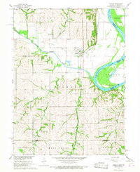 1966 Nemaha1968 Print · USGSSoutheast Nebraska and the Missouri River border are captured in the mid-sixties, showing the river’s winding course near Nemaha. Researchers can trace the Chicago Burlington and Quincy rail line, find the Maple Grove Sch, and locate the Pennwell Cem in the hills.2 unique versions available
 - 1986 Map of Falls City
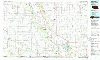 1986 Falls City1986 Print · USGSThe Missouri River borderlands of Nebraska and Missouri were a landscape of established colleges and river-bound railroads in the mid-1980s. Researchers can locate long-standing landmarks like Peru State College, the Iowa Indian Reservation, and St Johns Cem.2 unique versions available
 - 2011 Map of Nemaha, 2011 Print
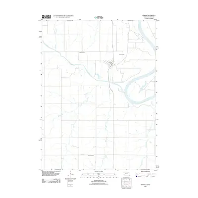 2011 Nemaha2011 Print · USGSSoutheast Nebraska and the Missouri border are documented here in the early twenty-first century, centered on the riverfront town of Nemaha. Genealogists can locate family landmarks like the Nemaha Cemetery and Penniwell Cemetery, or trace the winding course of Whisky Run.
 - 2014 Map of Nemaha, 2014 Print
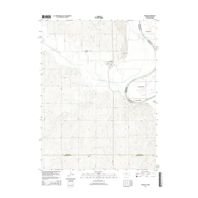 2014 Nemaha2014 Print · USGSThe village of Nemaha sits at the confluence of prairie and river bottom in the early twenty-first century. Genealogists and local historians can locate Nemaha Cem and Penniwell Cem while tracing watercourses like Whisky Run and Happy Hollow Cr.
 - 2017 Map of Nemaha, 2017 Print
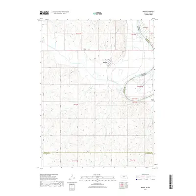 2017 Nemaha2017 Print · USGSSoutheast Nebraska and the Missouri River border are shown here in the late 2010s. Researchers can trace local genealogy at Nemaha Cem and Penniwell Cem, or study the river geography near Morgan Island and Nemaha.
 - 2021 Map of Nemaha, 2021 Print
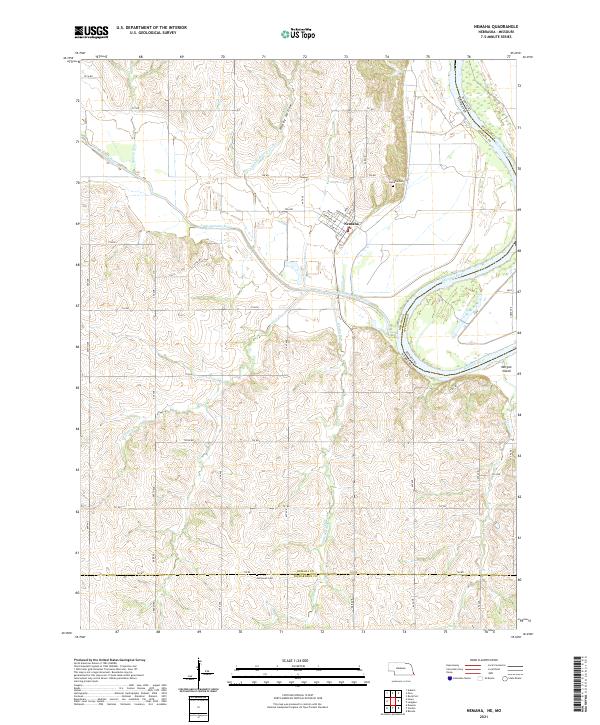 2021 Nemaha2021 Print · USGSThe bluffs and bottomlands of southeast Nebraska are captured here as they appeared in the early 2020s, centered on the village of Nemaha. Genealogists and local historians can trace the topography around Nemaha Cem and Penniwell Cem, or follow the winding Little Nemaha River to the Missouri border.
End of results
Showing maps 1-12 of 12
Top cities near Nemaha
- Auburn historical maps
- Rock Port historical maps
- Peru historical maps
- Shubert historical maps
- Stella historical maps
- Verdon historical maps
See more
Frequently asked questions
- What are the different types of historical maps available for Nemaha?
- What is the oldest map of Nemaha?
- Where can I purchase historical maps of Nemaha for my home or office?
- Where can I download high-res historical maps of Nemaha?
- Are there historical topographic maps available for Nemaha?
- Is there historical aerial imagery available for Nemaha?
- Where are historical maps of Nemaha sourced from?