Old Maps of Otoe, Nebraska for Metal Detecting
Plan your next treasure hunt with 16 historic maps of Otoe. Find old homesites, ghost towns, trails, and gathering spots that may be lost to time — perfect for identifying promising metal detecting locations.
- Locate forgotten sites: Uncover places like long-lost settlements, abandoned rail lines, or gathering spots.
- Plan better hunts: Use map overlays combined with LiDAR or satellite views to narrow in on historically rich areas.
- Made for detectorists: Thousands of hobbyists use these maps to discover relics, coins, and hidden history.
Use these historic maps to boost your research and find new opportunities beneath the surface of Otoe.
Otoe, NE maps
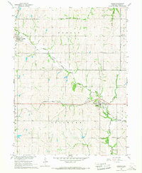
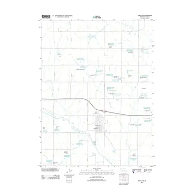
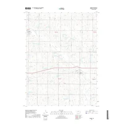
(16)- 1903 Map of Weeping Water
 1903 Weeping Water1903 Print · USGSSoutheast Nebraska at the start of the twentieth century was a thriving patchwork of rail-dependent prairie towns and river valleys. Genealogists and local historians can trace early property boundaries and township seats like Weeping Water, Syracuse, and the riverside town of Louisville.2 unique versions available
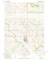
 - 1929 Map of Weeping Water
 1929 Weeping Water1929 Print · USGSEastern Nebraska's fertile prairie was a hub of railroad development and river-valley settlement at the start of the twentieth century. Researchers can trace the early layout of communities like Weeping Water, Syracuse, and Louisville along the Missouri Pacific R. R. and Platte River.
 - 1955 Map of Lincoln, 1967 Print
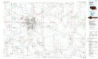
 1955 Lincoln1967 Print · USGSSoutheast Nebraska in the mid-fifties presents a landscape of thriving railroad towns and the expanding footprint of the capital city. Researchers can trace the legacy of the pioneer era at the Homestead National Monument of America or locate mid-century military infrastructure like Lincoln Air Force Base.5 unique versions available
 - 1957 Map of Lincoln
 1957 Lincoln1957 Print · USGSSoutheastern Nebraska at mid-century shows a landscape of thriving rail towns and expanding infrastructure centered on Lincoln. Researchers can trace the path of the Chicago Burlington and Quincy railroad through communities like Weeping Water, Fairmont, and Seward.
 - 1958 Map of Lincoln
 1958 Lincoln1958 Print · USGSSoutheast Nebraska at the end of the 1950s shows a region defined by agricultural trade and the expansion of the state capital. Genealogists can trace family footprints across the Blue Valley and locate landmarks like the Lincoln AFB or the U.S. Veterans Hospital.
 - 1966 Map of Dunbar
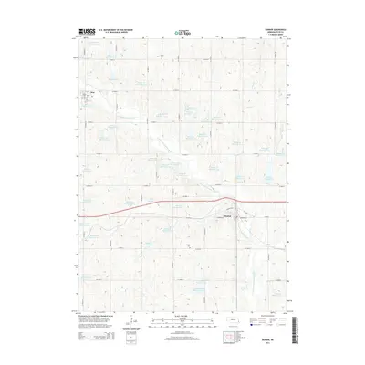
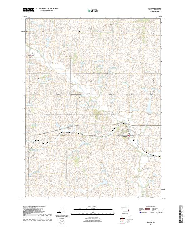
 1966 Dunbar1966 Print · USGSOtoe County in the mid-1960s reveals a prairie landscape of river-valley settlements and rural school districts. Genealogists can trace family roots at Union Cem, locate the Smallfoot Sch, or follow the Chicago Burlington and Quincy rail line.
 - 1966 Map of Syracuse, 1968 Print
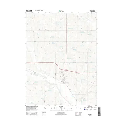
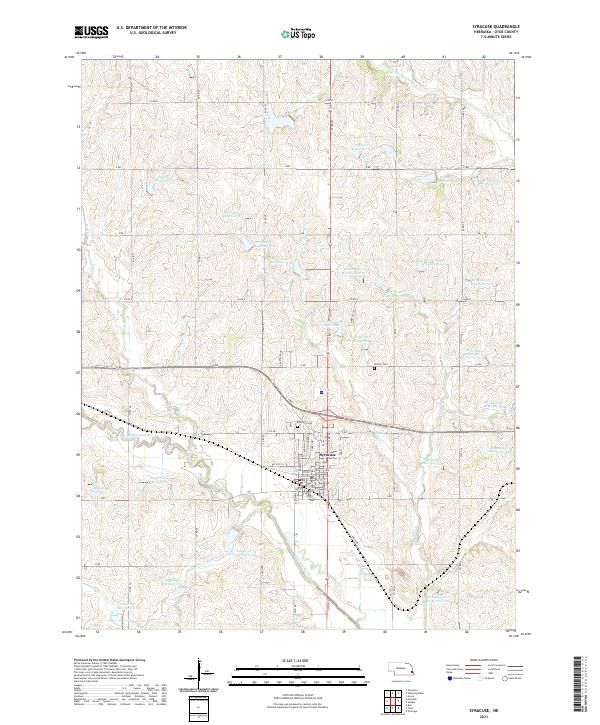
 1966 Syracuse1968 Print · USGSSyracuse and Otoe thrive as rail-connected farming hubs in the mid-1960s, framed by the meandering Little Nemaha River. Researchers can trace the legacy of rural education and industry through sites like School No 10, several Quarries, and the Warner Cem.
 - 1986 Map of Lincoln
 1986 Lincoln1986 Print · USGSMid-century development and the rail-and-river economy of southeastern Nebraska are clear in this 1980s survey. Researchers can trace the sprawling rail networks of the Burlington Northern and locate historic sites like Union College and the State Capitol.2 unique versions available
 - 2011 Map of Dunbar, 2011 Print
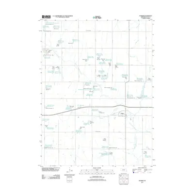 2011 Dunbar2011 Print · USGSCovers Otoe, including Dunbar, Otoe County, and other nearby areas
 - 2012 Map of Syracuse, 2012 Print
 2012 Syracuse2012 Print · USGSCovers Otoe, including Syracuse, Otoe County, and other nearby areas
 - 2014 Map of Syracuse, 2014 Print
 2014 Syracuse2014 Print · USGSCovers Otoe, including Syracuse, Otoe County, and other nearby areas
 - 2014 Map of Dunbar, 2014 Print
 2014 Dunbar2014 Print · USGSCovers Otoe, including Dunbar, Otoe County, and other nearby areas
 - 2017 Map of Syracuse, 2017 Print
 2017 Syracuse2017 Print · USGSCovers Otoe, including Syracuse, Otoe County, and other nearby areas
 - 2017 Map of Dunbar, 2017 Print
 2017 Dunbar2017 Print · USGSCovers Otoe, including Dunbar, Otoe County, and other nearby areas
 - 2021 Map of Syracuse, 2021 Print
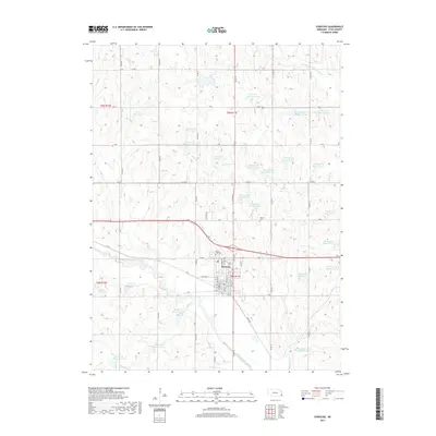
 2021 Syracuse2021 Print · USGSSyracuse and the surrounding Otoe County farmlands are captured here in the early twenty-first century. Researchers can locate local family plots at Park Hill Cem and Warner Cem or trace the complex reservoir systems along Brownell Cr.
 - 2021 Map of Dunbar, 2021 Print
 2021 Dunbar2021 Print · USGSOtoe County's agricultural heartland is documented here in the early twenty-first century, centered on the villages of Dunbar and Otoe. Local researchers can locate Union Cem and Dunbar Cem among a complex network of small basins like Burr Reservoir.
End of results
Showing maps 1-16 of 16
Top cities near Otoe
- Syracuse historical maps
- Weeping Water historical maps
- Elmwood historical maps
- Murray historical maps
- Unadilla historical maps
- Cook historical maps
See more
Frequently asked questions
- What are the different types of historical maps available for Otoe?
- What is the oldest map of Otoe?
- Where can I purchase historical maps of Otoe for my home or office?
- Where can I download high-res historical maps of Otoe?
- Are there historical topographic maps available for Otoe?
- Is there historical aerial imagery available for Otoe?
- Where are historical maps of Otoe sourced from?