Old Maps of McCook, Nebraska for Academic Research
Study the evolution of McCook with 14 high-resolution historic maps. Whether you're teaching, researching, or modeling changes in land use, these maps provide essential visual documentation of urban, environmental, and geographic change.
- Analyze long-term change: Track patterns in development, transportation, and natural features.
- Ideal for environmental or urban studies: Support academic projects with primary historical map data.
- Use in the classroom or lab: Educators and researchers rely on these maps to bring historical context to life.
These maps are a powerful tool for teaching, research, and visualizing how McCook has changed over the decades.
McCook, NE maps
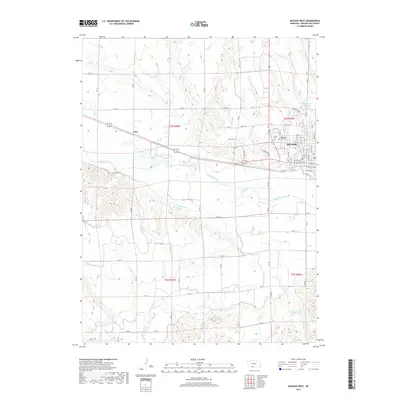
(14)- 1954 Map of McCook, 1966 Print
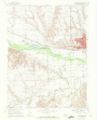
 1954 McCook1966 Print · USGSSouthwest Nebraska in the mid-fifties reveals a landscape shaped by major water projects and the Chicago Burlington and Quincy RR. Trace ancestral roots and defunct rail stops in McCook, Wauneta, and along the shores of Swanson Lake.2 unique versions available
 - 1957 Map of McCook
 1957 McCook1957 Print · USGSSouthwestern Nebraska in the mid-fifties is captured here during a period of significant water development and rail-based commerce. Researchers can trace the path of the Chicago Burlington and Quincy through Indianola and Bartley, or locate rural settlements like Chase Village and Ough near the Sand Hills.
 - 1958 Map of McCook
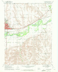
 1958 McCook1958 Print · USGSSouthwest Nebraska during the late fifties reveals a landscape of massive new reservoirs and established rail hubs like McCook. Genealogists can trace family footprints through rural centers like St Johns Church and the many grain elevators along the Union Pacific RR.2 unique versions available
 - 1970 Map of McCook West, 1972 Print
 1970 McCook West1972 Print · USGSThe Republican River valley thrived during the 1970s as a hub of irrigation and rail transport. Genealogists and historians can trace local landmarks like Memorial Park Cem, the rural School No 16, and the industrial Gravel Pits.2 unique versions available
 - 1970 Map of McCook East, 1972 Print
 1970 McCook East1972 Print · USGSMcCook and the surrounding Republican River valley are captured in the early seventies during a period of established rail and irrigation growth. Local historians can trace institutional roots at McCook College or locate rural landmarks like St John Cem and School No 31.2 unique versions available
 - 1979 Map of McCook
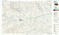 1979 McCook1979 Print · USGSThe Republican River valley of southwest Nebraska is seen here in the late seventies, a region of rail-connected river towns and extensive irrigation. Genealogists and local historians can trace family ties through McCook, the Burlington Northern line, and water landmarks like Medicine Creek.
 - 2011 Map of McCook East, 2011 Print
 2011 McCook East2011 Print · USGSCovers McCook, including Red Willow County, United States, and other nearby areas
 - 2011 Map of McCook West, 2011 Print
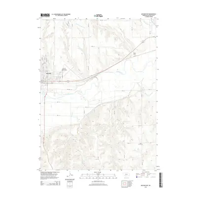
 2011 McCook West2011 Print · USGSCovers McCook, including Perry, Lazy L Mobile Ranch, and other nearby areas
 - 2014 Map of McCook East, 2014 Print
 2014 McCook East2014 Print · USGSCovers McCook, including Red Willow County, United States, and other nearby areas
 - 2014 Map of McCook West, 2014 Print
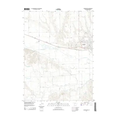 2014 McCook West2014 Print · USGSCovers McCook, including Perry, Lazy L Mobile Ranch, and other nearby areas
 - 2017 Map of McCook East, 2017 Print
 2017 McCook East2017 Print · USGSCovers McCook, including Red Willow County, United States, and other nearby areas
 - 2017 Map of McCook West, 2017 Print
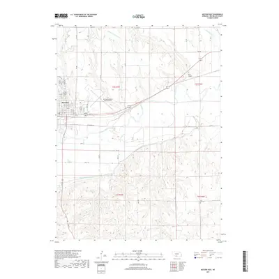
 2017 McCook West2017 Print · USGSCovers McCook, including Perry, Lazy L Mobile Ranch, and other nearby areas
 - 2021 Map of McCook West, 2021 Print
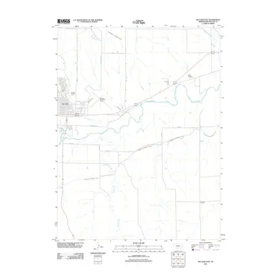
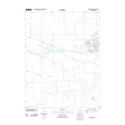
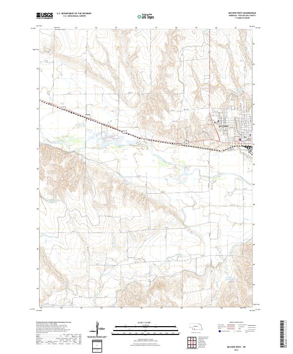 2021 McCook West2021 Print · USGSMcCook and the surrounding Republican River valley are documented here in the early twenty-first century. Genealogists and local historians can trace the town grid out to the Red Willow County Courthouse, Calvary Cem, and the nearby settlement of Perry.
 - 2021 Map of McCook East, 2021 Print
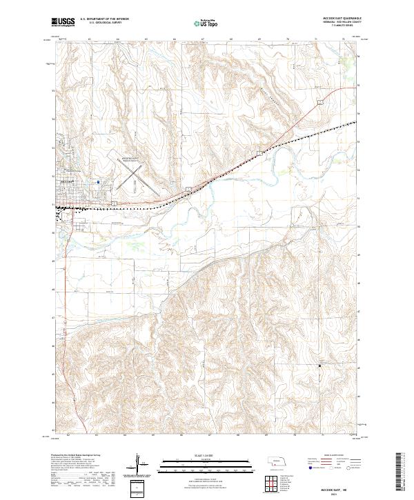 2021 McCook East2021 Print · USGSRed Willow County at the start of the 2020s reveals the vital irrigation and river systems that sustain the high plains. Researchers can trace the layout of McCook alongside landmark sites like Saint John Cem and McCook Community College.
End of results
Showing maps 1-14 of 14
Top cities near McCook
Top neighborhoods of McCook
Frequently asked questions
- What are the different types of historical maps available for McCook?
- What is the oldest map of McCook?
- Where can I purchase historical maps of McCook for my home or office?
- Where can I download high-res historical maps of McCook?
- Are there historical topographic maps available for McCook?
- Is there historical aerial imagery available for McCook?
- Where are historical maps of McCook sourced from?