Old Maps of Colon, Nebraska for Hiking & Exploration
Hike through history with 10 historic maps of Colon. Explore old trails, ghost towns, and forgotten backroads — perfect for outdoor adventurers and local explorers.
- Rediscover forgotten places: Map out old mining camps, roads, and footpaths that no longer exist on modern maps.
- Layer with modern tools: Combine with LiDAR or satellite views to plan hikes through historical terrain.
- Made for exploration: Popular among hikers, overlanders, and local history lovers.
Use these maps to find adventure and explore the hidden past of Colon.
Colon, NE maps
(10)- 1899 Map of Wahoo
 1899 Wahoo1899 Print · USGSSaunders County and its neighbors thrive as a booming rail hub in the 1890s, where the Platte River meets a dense web of iron tracks. Trace the early development of prairie towns like Wahoo, Valparaiso, and the Bohemian settlement at Prague.3 unique versions available
 - 1955 Map of Fremont, 1966 Print
 1955 Fremont1966 Print · USGSEastern Nebraska and the Missouri River border are captured during the mid-fifties, just as the interstate system began to emerge. Researchers can trace the development of Omaha, locate the sprawling Offutt Air Force Base, or study the river-bound ecology of the De Soto National Wildlife Refuge.3 unique versions available
 - 1957 Map of Fremont
 1957 Fremont1957 Print · USGSEastern Nebraska and western Iowa thrive along the Platte and Missouri rivers during the mid-fifties. Genealogists can locate small rural schools like Fairview School and tracing the paths of the Union Pacific through towns like Albion and Humphrey.
 - 1958 Map of Fremont
 1958 Fremont1958 Print · USGSEastern Nebraska in the late fifties is captured here as a thriving corridor of river-valley commerce and rail transport. Researchers can trace the development of Omaha and Fremont or locate local landmarks like Midland College and Offutt Air Force Base.
 - 1969 Map of Colon, 1971 Print
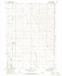 1969 Colon1971 Print · USGSColon and its surrounding Saunders County townships are captured here in the late sixties as the village thrived along the Chicago and North Western line. Researchers can trace family roots through several rural landmarks, including Union Cem, Mead Emmanuel Ch, and numerous numbered district schools.
 - 1982 Map of Fremont
 1982 Fremont1982 Print · USGSEastern Nebraska in the early eighties exhibits a landscape of industrious rail towns and river-fed agriculture. Genealogists and historians can trace the development of Fremont, locate the National Cem, and find landmarks like the Todd Valley.2 unique versions available
 - 2011 Map of Colon, 2011 Print
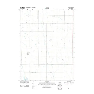 2011 Colon2011 Print · USGSCovers Colon, including Saunders County, United States, and other nearby areas
 - 2014 Map of Colon, 2014 Print
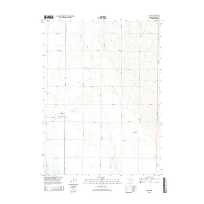 2014 Colon2014 Print · USGSCovers Colon, including Saunders County, United States, and other nearby areas
 - 2017 Map of Colon, 2017 Print
 2017 Colon2017 Print · USGSCovers Colon, including Saunders County, United States, and other nearby areas
 - 2021 Map of Colon, 2021 Print
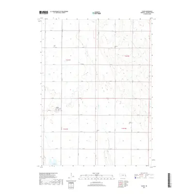
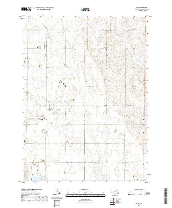 2021 Colon2021 Print · USGSThe village of Colon anchors this eastern Nebraska farming landscape in the early twenty-first century. Researchers can trace family history through several rural burial sites, including Union Cem, Marietta Cem, and Green Mound Cem.
End of results
Showing maps 1-10 of 10
Top cities near Colon
- Fremont historical maps
- Wahoo historical maps
- Valley historical maps
- North Bend historical maps
- Yutan historical maps
- Mead historical maps
See more
Frequently asked questions
- What are the different types of historical maps available for Colon?
- What is the oldest map of Colon?
- Where can I purchase historical maps of Colon for my home or office?
- Where can I download high-res historical maps of Colon?
- Are there historical topographic maps available for Colon?
- Is there historical aerial imagery available for Colon?
- Where are historical maps of Colon sourced from?