Old Maps of Beaver Crossing, Nebraska for Hiking & Exploration
Hike through history with 11 historic maps of Beaver Crossing. Explore old trails, ghost towns, and forgotten backroads — perfect for outdoor adventurers and local explorers.
- Rediscover forgotten places: Map out old mining camps, roads, and footpaths that no longer exist on modern maps.
- Layer with modern tools: Combine with LiDAR or satellite views to plan hikes through historical terrain.
- Made for exploration: Popular among hikers, overlanders, and local history lovers.
Use these maps to find adventure and explore the hidden past of Beaver Crossing.
Beaver Crossing, NE maps
(11)- 1934 Map of Utica, 1961 Print
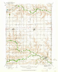 1934 Utica1961 Print · USGSThe Seward County plains in the 1930s reveal a landscape of small towns and rural school districts connected by the Chicago and Northwestern. Trace family history at Prairie Grove Cem or locate forgotten sites like Midget Sch and the Flowing Well.2 unique versions available
 - 1937 Map of Utica
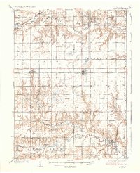 1937 Utica1937 Print · USGSThe Seward County plains are captured in the mid-1930s, showing a landscape defined by rail lines and rural school districts. Genealogists can locate family landmarks like Prairie Grove Cem and numerous schools such as Rosemound Sch and Kinkaid Sch.2 unique versions available
 - 1955 Map of Lincoln, 1967 Print
 1955 Lincoln1967 Print · USGSSoutheast Nebraska in the mid-fifties presents a landscape of thriving railroad towns and the expanding footprint of the capital city. Researchers can trace the legacy of the pioneer era at the Homestead National Monument of America or locate mid-century military infrastructure like Lincoln Air Force Base.5 unique versions available
 - 1957 Map of Lincoln
 1957 Lincoln1957 Print · USGSSoutheastern Nebraska at mid-century shows a landscape of thriving rail towns and expanding infrastructure centered on Lincoln. Researchers can trace the path of the Chicago Burlington and Quincy railroad through communities like Weeping Water, Fairmont, and Seward.
 - 1958 Map of Lincoln
 1958 Lincoln1958 Print · USGSSoutheast Nebraska at the end of the 1950s shows a region defined by agricultural trade and the expansion of the state capital. Genealogists can trace family footprints across the Blue Valley and locate landmarks like the Lincoln AFB or the U.S. Veterans Hospital.
 - 1966 Map of Beaver Crossing, 1967 Print
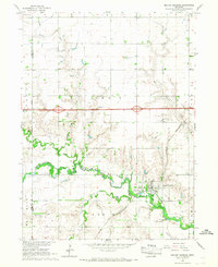 1966 Beaver Crossing1967 Print · USGSSeward County at the height of the sixties shows a thriving Beaver Crossing at the junction of the Chicago and North Western rail line and the river. Genealogists can trace local roots through numerous sites like Prairie Grove Cem, Calvary Cem, and Knob Hill.
 - 1985 Map of York
 1985 York1985 Print · USGSSoutheast Nebraska in the mid-1980s shows a landscape of productive plains and vital transport corridors along the Burlington Northern line. Trace the history of local institutions like Concordia Teachers College and find family sites at Greenwood Cem or Thayer Cem.2 unique versions available
 - 2011 Map of Beaver Crossing, 2011 Print
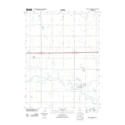 2011 Beaver Crossing2011 Print · USGSCovers Beaver Crossing, including Seward County, York County, and other nearby areas
 - 2014 Map of Beaver Crossing, 2014 Print
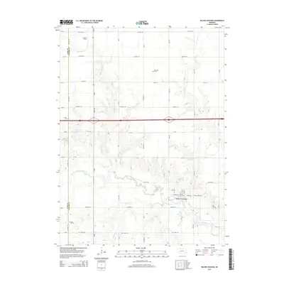 2014 Beaver Crossing2014 Print · USGSCovers Beaver Crossing, including Seward County, York County, and other nearby areas
 - 2017 Map of Beaver Crossing, 2017 Print
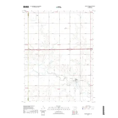 2017 Beaver Crossing2017 Print · USGSCovers Beaver Crossing, including Seward County, York County, and other nearby areas
 - 2021 Map of Beaver Crossing, 2021 Print
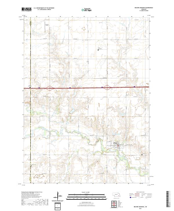 2021 Beaver Crossing2021 Print · USGSBeaver Crossing and the surrounding Seward County farmlands are documented here in the early twenty-first century. Researchers can locate several community landmarks including Prairie Grove Cem, Flying-V Airport, and the meanders of the West Fork Big Blue River.
End of results
Showing maps 1-11 of 11
Top cities near Beaver Crossing
- Seward historical maps
- Milford historical maps
- Friend historical maps
- Utica historical maps
- Exeter historical maps
- Dorchester historical maps
See more
Frequently asked questions
- What are the different types of historical maps available for Beaver Crossing?
- What is the oldest map of Beaver Crossing?
- Where can I purchase historical maps of Beaver Crossing for my home or office?
- Where can I download high-res historical maps of Beaver Crossing?
- Are there historical topographic maps available for Beaver Crossing?
- Is there historical aerial imagery available for Beaver Crossing?
- Where are historical maps of Beaver Crossing sourced from?