Old Maps of Ashton, Nebraska for Hiking & Exploration
Hike through history with 14 historic maps of Ashton. Explore old trails, ghost towns, and forgotten backroads — perfect for outdoor adventurers and local explorers.
- Rediscover forgotten places: Map out old mining camps, roads, and footpaths that no longer exist on modern maps.
- Layer with modern tools: Combine with LiDAR or satellite views to plan hikes through historical terrain.
- Made for exploration: Popular among hikers, overlanders, and local history lovers.
Use these maps to find adventure and explore the hidden past of Ashton.
Ashton, NE maps
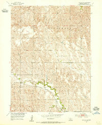
(14)- 1899 Map of Loup
 1899 Loup1899 Print · USGSCentral Nebraska at the end of the century was a land defined by its rivers and expanding rail lines. Genealogists can trace the early pioneer hubs of Dannebrog, Ashton, and Scotia along the Union Pacific RR.2 unique versions available
 - 1953 Map of Loup City SE, 1955 Print
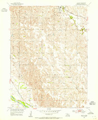
 1953 Loup City SE1955 Print · USGSSherman County farming life is captured mid-century, showing a landscape defined by creek valleys and a grid of rural schoolhouses. Genealogists can trace family footprints near Ashton or locate specific local landmarks like Shaupps Sch and School No 77.2 unique versions available
 - 1953 Map of Ashton, 1955 Print
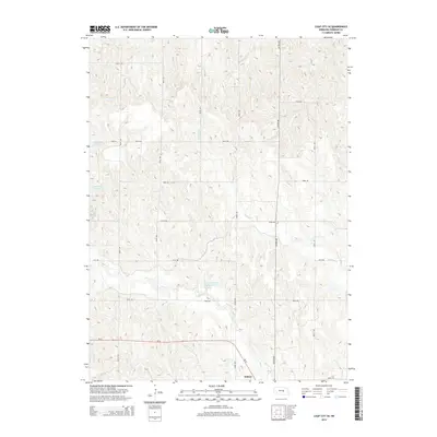
 1953 Ashton1955 Print · USGSSherman County agriculture and transit thrive in the early fifties, anchored by the rail town of Ashton. Local researchers can trace rural school districts like School No 12 and historical church sites such as Immanuel Ch along the prairie creeks.2 unique versions available
 - 1955 Map of Broken Bow
 1955 Broken Bow1955 Print · USGSCentral Nebraska in the mid-fifties is defined by the sweeping Sand Hills and the vital river valleys that supported its ranching and rail towns. Researchers can trace the rail corridors of the Union Pacific RR and locate settlements like Dannebrog, Broken Bow, and Brewster.5 unique versions available
 - 1956 Map of Broken Bow
 1956 Broken Bow1956 Print · USGSCentral Nebraska during the mid-fifties reveals a region defined by its river-valley railroads and the rolling Sand Hills. Genealogists and local historians can trace the paths of the Chicago Burlington and Quincy through towns like Broken Bow, Merna, and Anselmo.
 - 1985 Map of St. Paul
 1985 St. Paul1985 Print · USGSCentral Nebraska's river valleys and rail towns are captured here in the mid-eighties, showing the region's agricultural and cultural foundations. Researchers can trace historic communities like Dannebrog, Scotia, and Nysted, or locate landmarks such as Sherman Reservoir and Happy Jack Peak.2 unique versions available
 - 2011 Map of Ashton, 2011 Print
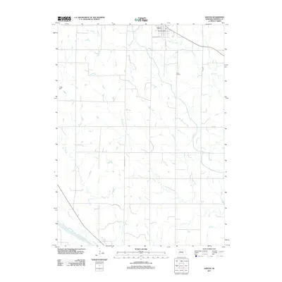 2011 Ashton2011 Print · USGSCovers Ashton, including Sherman County, United States, and other nearby areas
 - 2011 Map of Loup City SE, 2011 Print
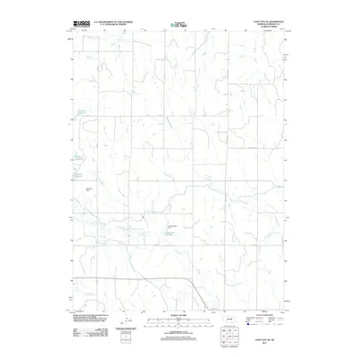 2011 Loup City SE2011 Print · USGSCovers Ashton, including Sherman County, United States, and other nearby areas
 - 2014 Map of Loup City SE, 2014 Print
 2014 Loup City SE2014 Print · USGSCovers Ashton, including Sherman County, United States, and other nearby areas
 - 2014 Map of Ashton, 2014 Print
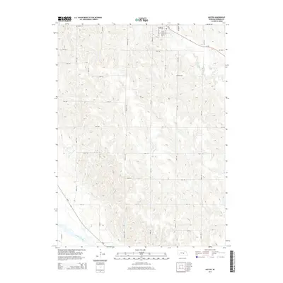 2014 Ashton2014 Print · USGSCovers Ashton, including Sherman County, United States, and other nearby areas
 - 2017 Map of Ashton, 2017 Print
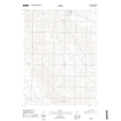 2017 Ashton2017 Print · USGSCovers Ashton, including Sherman County, United States, and other nearby areas
 - 2017 Map of Loup City SE, 2017 Print
 2017 Loup City SE2017 Print · USGSCovers Ashton, including Sherman County, United States, and other nearby areas
 - 2021 Map of Loup City SE, 2021 Print
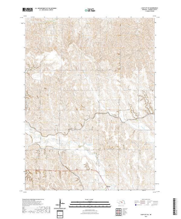 2021 Loup City SE2021 Print · USGSIn the central Nebraska farm country near the turn of the 2020s, this landscape shows the essential role of irrigation in Sherman County. Genealogists and local historians can trace family properties around Ashton or follow the paths of the Farwell Canal and Lewandowski Reservoir.
 - 2021 Map of Ashton, 2021 Print
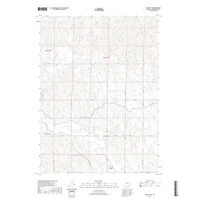
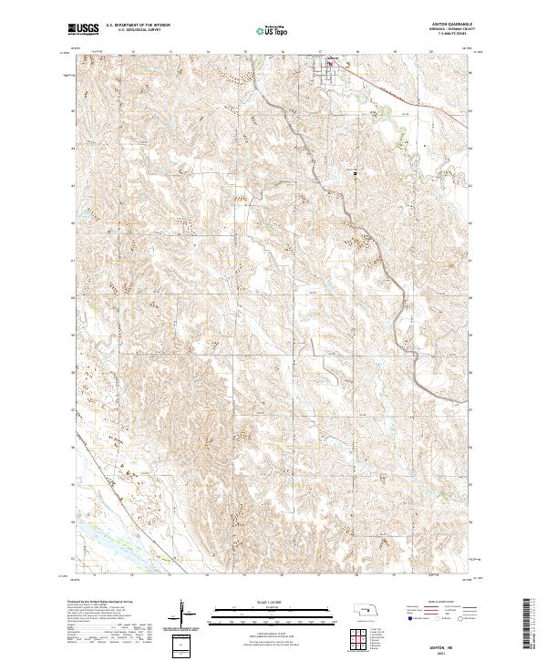 2021 Ashton2021 Print · USGSAshton and the surrounding Sherman County farmland are captured here in the early twenty-first century. Researchers can trace family history at Union Cem or follow the path of the Middle Loup River as it winds through the southern townships.
End of results
Showing maps 1-14 of 14
Top cities near Ashton
- Ravenna historical maps
- Loup City historical maps
- Scotia historical maps
- Elba historical maps
- Farwell historical maps
- Rockville historical maps
See more
Frequently asked questions
- What are the different types of historical maps available for Ashton?
- What is the oldest map of Ashton?
- Where can I purchase historical maps of Ashton for my home or office?
- Where can I download high-res historical maps of Ashton?
- Are there historical topographic maps available for Ashton?
- Is there historical aerial imagery available for Ashton?
- Where are historical maps of Ashton sourced from?