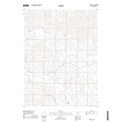
2017 Map of Loup City SE
USGS Topo · Published 2017About this map
Ashton anchors the southeastern corner of this Sherman County landscape, where the agricultural grid meets a complex system of water management. The terrain is defined by the Farwell Canal, which cuts across the central and southern sections to deliver water to this high plains region. This engineering is complemented by the Lewandowski Reservoir and the reaching northern waters of the Sherman Reservoir at the western edge, illustrating the intensive irrigation infrastructure vital to Central Nebraska. Between these man-made features, the natural drainages of Turkey Cr, Oak Cr, and Munson Cr weave through the township divisions of T16N R13W and T15N R13W. The map provides a detailed view of the rural road network, including 790th Rd and 17th Ave, which serve the farmsteads and fields outside the village of Ashton.
Find a feature on this map
22 named features on this map. Tap any name to fly to it.
Don’t see what you’re looking for? This feature index may not catch every label — zoom into the map to look around manually.
Map Details
Editions of this 2017 Loup City SE Map
This is the sole edition of this map. No revisions or reprints were ever made.
Other maps of this area

1899 · Loup
USGS Topo · 1:125,000

1953 · Loup City NW
USGS Topo · 1:24,000

1953 · Cotesfield
USGS Topo · 1:24,000

1953 · North Loup
USGS Topo · 1:24,000

1953 · Scotia
USGS Topo · 1:24,000

1953 · Ravenna NW
USGS Topo · 1:24,000

1953 · Loup City SE
USGS Topo · 1:24,000

1953 · Loup City
USGS Topo · 1:24,000

1953 · Farwell
USGS Topo · 1:24,000

1953 · Ashton
USGS Topo · 1:24,000