2020s Maps of Stanton County, Nebraska
Explore 12 historic maps of Stanton County from the 2020s. These maps offer a rare glimpse into what life looked like during the 2020s — showing old roads, neighborhoods, homes, and landmarks that have changed or disappeared over time.
Whether you're researching your family's past, planning a metal detecting trip, or studying how Stanton County's landscape evolved across the 2020s, these high-resolution maps are a powerful tool for exploring the history of this region.
- Focus on a specific era: All maps on this page are from the 2020s, giving you a focused view of this time period.
- See what’s changed: Compare century-old streets, trails, and buildings to today's modern landscape using overlays and satellite layers.
- Research with precision: Use these maps for genealogy, historical research, land use analysis, or educational projects.
- View, download, or print: Maps are fully viewable online in high resolution, and can be downloaded or printed for your own records.
Start exploring Stanton County's history through authentic maps from the 2020s. This is your window into the past.
Stanton County, NE maps
(12)- 2021 Map of Stanton, 2021 Print
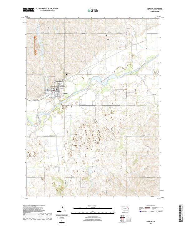 2021 Stanton2021 Print · USGSStanton and the Elkhorn River valley are shown here in modern detail, reflecting a landscape shaped by both prairie waterways and long-standing civic history. Genealogists and local researchers can locate the Stanton County Courthouse and trace several rural burial grounds, including Zander Cemetery and Stanton Cemetery.
 - 2021 Map of Leigh, 2021 Print
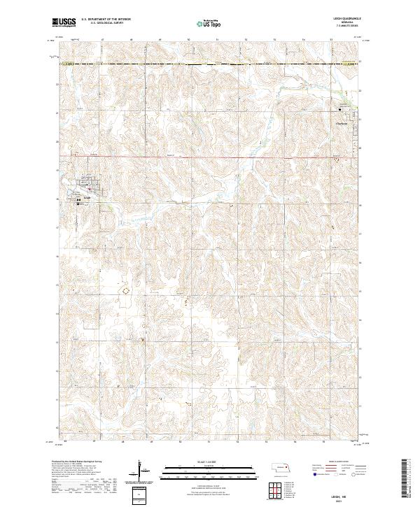 2021 Leigh2021 Print · USGSEastern Nebraska farmland at the start of the 2020s shows a deeply rooted community structure along the Stanton and Colfax county line. Genealogists and local historians can locate family burial plots at Leigh Cem and Saint Marys Cem or trace the early street grid of Clarkson.
 - 2021 Map of Stanton SE, 2021 Print
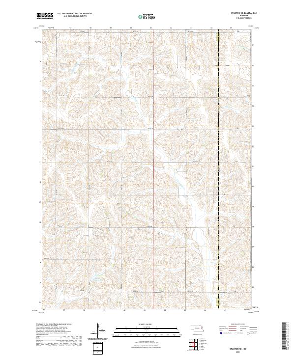 2021 Stanton SE2021 Print · USGSNortheastern Nebraska farm country is captured here in the early twenty-first century as a landscape of section lines and stream valleys. Genealogists can locate Saint Peters Cem or trace the watercourses of E Fork Maple Cr and Kucera Reservoir.
 - 2021 Map of Madison SE, 2021 Print
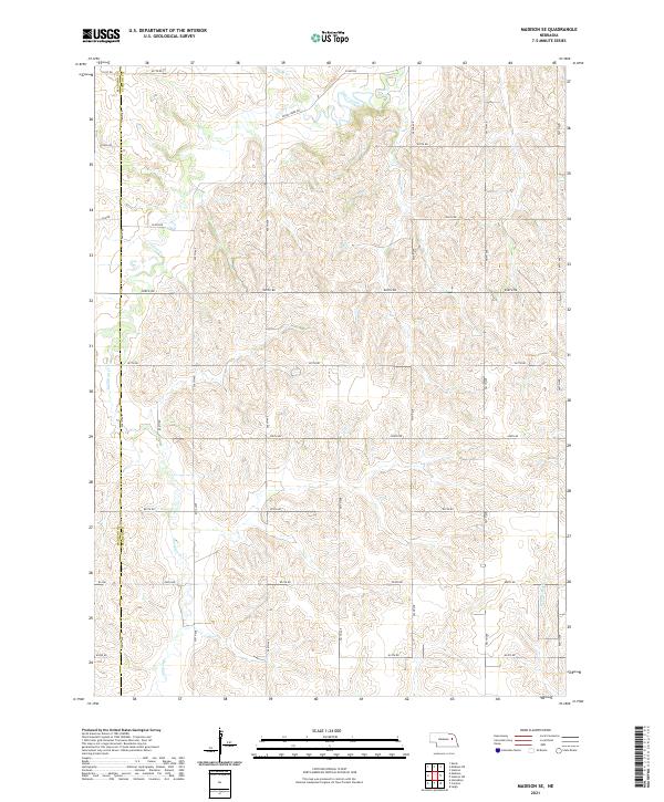 2021 Madison SE2021 Print · USGSThe rolling plains of Northeast Nebraska are captured here at the start of the 2020s, where the Madison Co Stanton Co line meets. Trace the winding drainages of Union Creek and Meridian Cr through a precise grid of rural section roads.
 - 2021 Map of Stanton NE, 2021 Print
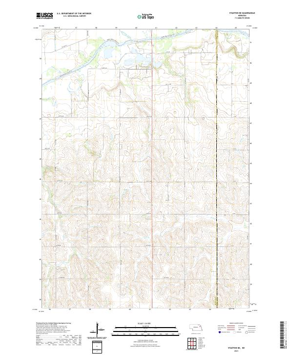 2021 Stanton NE2021 Print · USGSIn the Nebraska plains during the early 2020s, the river valley landscape is shaped by the winding Elkhorn River and a precise grid of rural roads. Researchers can trace land boundaries and local waterways like Humbug Creek, Cedar Cr, and the historical path of Old Hwy 8.
 - 2021 Map of Stanton SW, 2021 Print
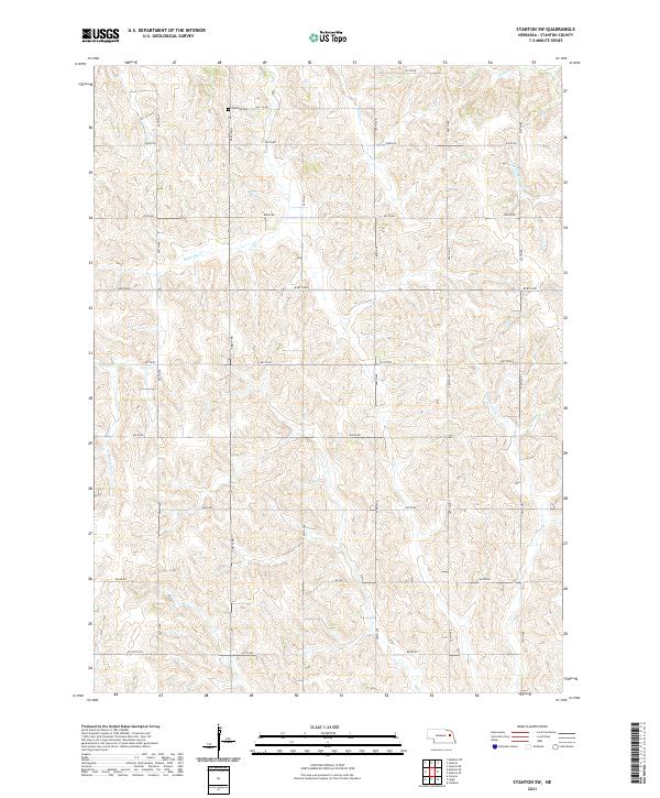 2021 Stanton SW2021 Print · USGSAgricultural life in northeastern Nebraska is captured here through a detailed look at the rural landscape and creek drainages. Genealogists can locate Erychleb Cem while tracing the winding paths of Butterfly Cr and Wells Cr across the prairie.
 - 2021 Map of Madison NE, 2021 Print
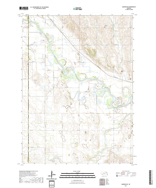 2021 Madison NE2021 Print · USGSStanton and Madison counties are captured here in the early 2020s, showcasing a landscape shaped by the winding Elkhorn River. Genealogists and local researchers can locate established sites like Pleasant Run Cem, Belz Cem, and the waters of Loves Lake.
 - 2021 Map of Clarkson, 2021 Print
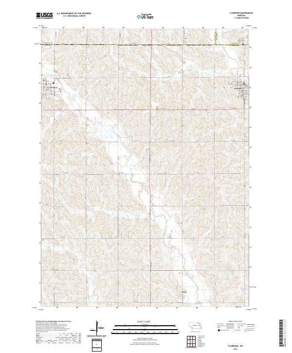 2021 Clarkson2021 Print · USGSNortheastern Nebraska farming communities appear in detail during the early 2020s, showing the settled grid between the forks of Maple Creek. Genealogists and local historians can trace family locations near Heun or the Saint John's Nepomucene Catholic Cem.
 - 2021 Map of Creston, 2021 Print
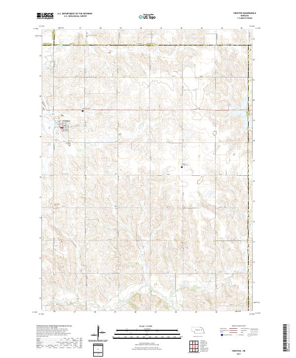 2021 Creston2021 Print · USGSThe village of Creston and its surrounding farmstead grid are documented here in the early twenty-first century. Genealogists and local researchers can locate family sites near Creston Pioneer Cem, Fairview Cem, and the banks of Meridian Cr.
 - 2021 Map of Hoskins, 2021 Print
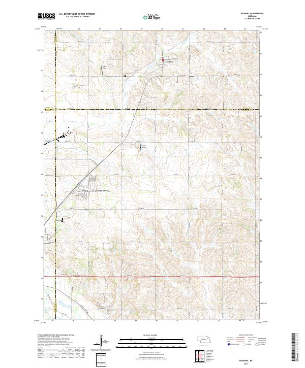 2021 Hoskins2021 Print · USGSHoskins and the surrounding agricultural lands of Northeast Nebraska are captured here in the early twenty-first century. Genealogists and local historians can trace burial sites at Trinity Cem and Zion Cem or locate the runways at Falk Air Field.
 - 2021 Map of Pilger, 2021 Print
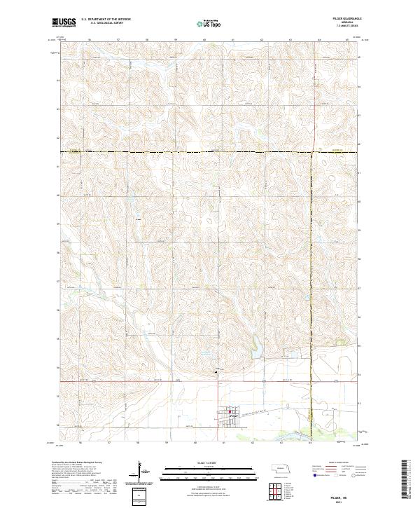 2021 Pilger2021 Print · USGSThe village of Pilger sits at the heart of this agricultural landscape as it appeared in the early 2020s. Genealogists and local historians can trace family ties at Pilger Cem or follow the route of the Old Hwy 8 Black Hills Trail Rd.
 - 2021 Map of Wayne SW, 2021 Print
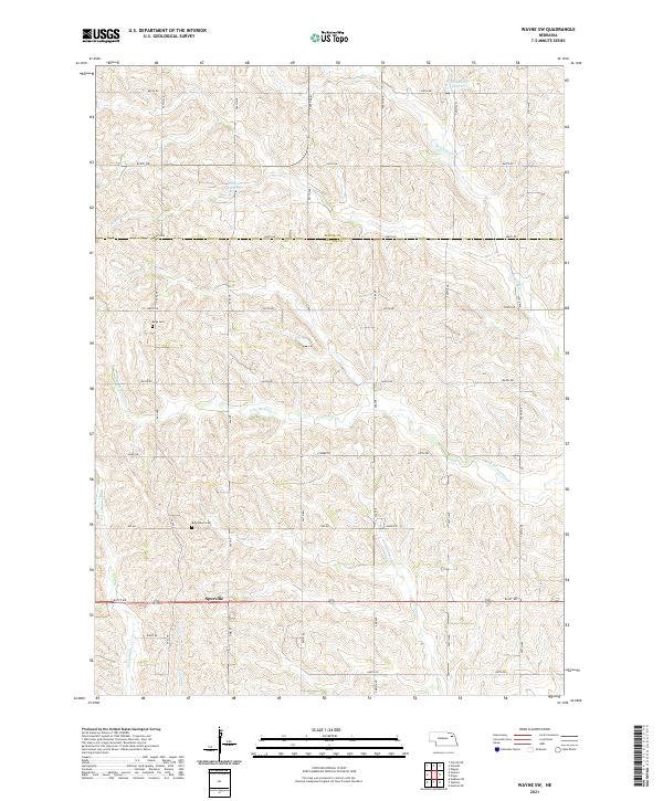 2021 Wayne SW2021 Print · USGSThe rural borderlands of Stanton and Wayne counties are captured here in the early twenty-first century. Genealogists and local historians can locate legacy sites like Bethlehem Cem and Bega Cem or trace the winding course of Humbug Cr near Spurville.
End of results
Showing maps 1-12 of 12
Top cities of Stanton County
Frequently asked questions
- What are the different types of historical maps available for Stanton County?
- What is the oldest map of Stanton County?
- Where can I purchase historical maps of Stanton County for my home or office?
- Where can I download high-res historical maps of Stanton County?
- Are there historical topographic maps available for Stanton County?
- Is there historical aerial imagery available for Stanton County?
- Where are historical maps of Stanton County sourced from?