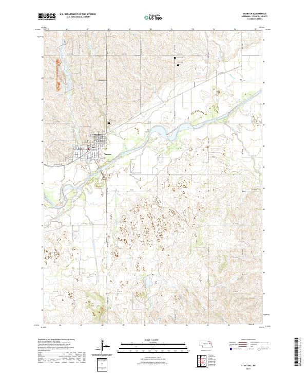
2021 Map of Stanton
USGS Topo · Published 2021About this map
Stanton serves as the focal point of this northeast Nebraska landscape, situated north of the Elkhorn River. The town's grid is anchored by the Stanton County Courthouse, surrounded by residential streets like Nutmeg St and Hickory St. The surrounding countryside is defined by a dense network of waterways, including Indian Creek, Butterfly Creek, and Sand Creek, which carve through the agricultural terrain. Recreational and historical sites are prominent, from the Upper Elkhorn River Trail and Maskenthine Loop Trail to established burial grounds like Stanton Cemetery, Zander Cemetery, and Koch Cemetery. This modern survey illustrates how local infrastructure, such as Old Hwy 8 and Veterans Ave, continues to follow the natural contours and established settlement patterns of the region.
Find a feature on this map
40 named features on this map. Tap any name to fly to it.
Don’t see what you’re looking for? This feature index may not catch every label — zoom into the map to look around manually.
Map Details
Editions of this 2021 Stanton Map
This is the sole edition of this map. No revisions or reprints were ever made.
Other maps of this area

1955 · Sioux City
USGS Topo · 1:250,000

1955 · Fremont
USGS Topo · 1:250,000

1957 · Fremont
USGS Topo · 1:250,000

1958 · Sioux City
USGS Topo · 1:250,000

1958 · Fremont
USGS Topo · 1:250,000

1959 · Sioux City
USGS Topo · 1:250,000

1963 · Hoskins
USGS Topo · 1:24,000

1963 · Madison SE
USGS Topo · 1:24,000

1963 · Pilger
USGS Topo · 1:24,000

1963 · Wayne SW
USGS Topo · 1:24,000