
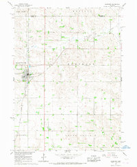
1963 Map of Madison SE
USGS Topo · Published 1964About this map
Union Creek winds across the northern landscape of Stanton and Madison Counties, defining a region where rural education and agriculture were deeply intertwined in the early 1960s. This survey, conducted as part of the Department of the Interior program for the development of the Missouri River Basin, reveals a high density of one-room schoolhouses such as School No 17, School No 39, and School No 54. These numbered landmarks reflect the organized township system and provide essential markers for genealogists tracing family homesteads near the Sixth Principal Meridian. The terrain is marked by light industrial and utility features including a Gravel Pit and a Gas Well, while the southern townships of Dimick and Ramshorn show a intricate network of fence and field lines captured during 1961 aerial photography.
Find a feature on this map
17 named features on this map. Tap any name to fly to it.
Don’t see what you’re looking for? This feature index may not catch every label — zoom into the map to look around manually.
Map Details
Editions of this 1963 Madison SE Map
This is the sole edition of this map. No revisions or reprints were ever made.
Other maps of this area

1955 · Fremont
USGS Topo · 1:250,000

1957 · Fremont
USGS Topo · 1:250,000

1958 · Fremont
USGS Topo · 1:250,000

1963 · Madison
USGS Topo · 1:24,000
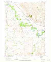
1963 · Madison NE
USGS Topo · 1:24,000
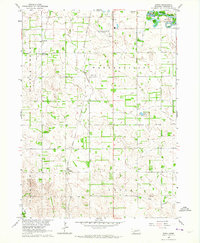
1963 · Enola
USGS Topo · 1:24,000
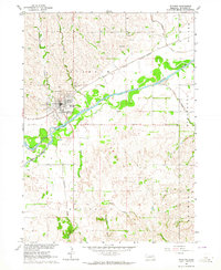
1963 · Stanton
USGS Topo · 1:24,000

1966 · Creston
USGS Topo · 1:24,000
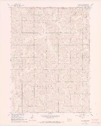
1966 · Stanton SW
USGS Topo · 1:24,000
1966 · Humphrey
USGS Topo · 1:24,000