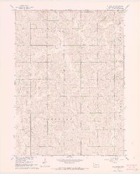
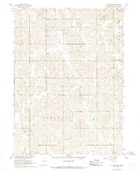
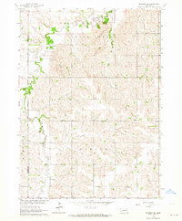
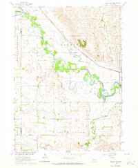
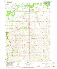
1966 Map of Stanton SW
USGS Topo · Published 1968About this map
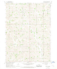
The agricultural plateaus and creek valleys of Stanton County are meticulously recorded in this mid-1960s study of the Butterfly, Ramshorn, and Haymow townships. This rural landscape is defined by its social infrastructure, particularly a series of localized schoolhouses such as Pleasant Hill Sch and Butterfly Sch that once anchored the surrounding farmsteads. The presence of Erychleb Cem in the northern reaches provides a significant point of reference for genealogists researching early settlement families in this portion of Nebraska.
Find a feature on this map
13 named features on this map. Tap any name to fly to it.
Don’t see what you’re looking for? This feature index may not catch every label — zoom into the map to look around manually.
Map Details
Editions of this 1966 Stanton SW Map
2 editions found
Other maps of this area

1955 · Fremont
USGS Topo · 1:250,000

1957 · Fremont
USGS Topo · 1:250,000

1958 · Fremont
USGS Topo · 1:250,000
1963 · Madison SE
USGS Topo · 1:24,000
1963 · Madison NE
USGS Topo · 1:24,000
1963 · Stanton NE
USGS Topo · 1:24,000
1963 · Stanton
USGS Topo · 1:24,000
1966 · Clarkson
USGS Topo · 1:24,000
1966 · Creston
USGS Topo · 1:24,000
1966 · Stanton SE
USGS Topo · 1:24,000