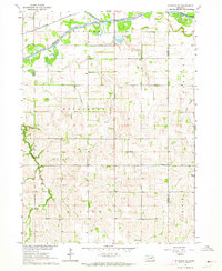
1963 Map of Stanton NE
USGS Topo · Published 1964About this map
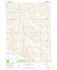
The Elkhorn River flows across the northern reaches of this rural Nebraska landscape, defining the topography of Stanton and Cuming Counties during the early 1960s. This agricultural region is structured around several distinct precincts including Kingsburg, Haymow, and Bismarck. The transportation network is anchored by the Chicago and North Western railroad, which parallels the river valley.
Find a feature on this map
20 named features on this map. Tap any name to fly to it.
Don’t see what you’re looking for? This feature index may not catch every label — zoom into the map to look around manually.
Map Details
Editions of this 1963 Stanton NE Map
This is the sole edition of this map. No revisions or reprints were ever made.
Other maps of this area

1955 · Sioux City
USGS Topo · 1:250,000

1955 · Fremont
USGS Topo · 1:250,000

1957 · Fremont
USGS Topo · 1:250,000

1958 · Sioux City
USGS Topo · 1:250,000

1958 · Fremont
USGS Topo · 1:250,000

1959 · Sioux City
USGS Topo · 1:250,000
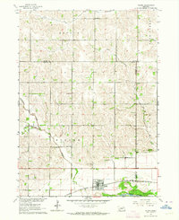
1963 · Pilger
USGS Topo · 1:24,000
1963 · Wayne SW
USGS Topo · 1:24,000
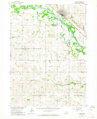
1963 · Wisner
USGS Topo · 1:24,000
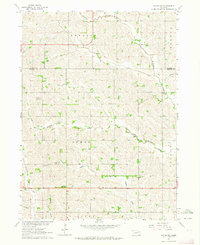
1963 · Altona
USGS Topo · 1:24,000