Old Maps of Stanton County, Nebraska for Metal Detecting
Plan your next treasure hunt with 68 historic maps of Stanton County. Find old homesites, ghost towns, trails, and gathering spots that may be lost to time — perfect for identifying promising metal detecting locations.
- Locate forgotten sites: Uncover places like long-lost settlements, abandoned rail lines, or gathering spots.
- Plan better hunts: Use map overlays combined with LiDAR or satellite views to narrow in on historically rich areas.
- Made for detectorists: Thousands of hobbyists use these maps to discover relics, coins, and hidden history.
Use these historic maps to boost your research and find new opportunities beneath the surface of Stanton County.
Stanton County, NE maps
(68)- 1955 Map of Sioux City, 1959 Print
 1955 Sioux City1959 Print · USGSThe Missouri River valley in the mid-fifties is captured here during a time of major engineering and social transition. Genealogists and historians can trace the foundations of Gavins Point Dam, tribal boundaries on the Santee Sioux Indian Reservation, and local landmarks like the Norfolk State Hospital.4 unique versions available
 - 1955 Map of Fremont, 1966 Print
 1955 Fremont1966 Print · USGSEastern Nebraska and the Missouri River border are captured during the mid-fifties, just as the interstate system began to emerge. Researchers can trace the development of Omaha, locate the sprawling Offutt Air Force Base, or study the river-bound ecology of the De Soto National Wildlife Refuge.3 unique versions available
 - 1957 Map of Fremont
 1957 Fremont1957 Print · USGSEastern Nebraska and western Iowa thrive along the Platte and Missouri rivers during the mid-fifties. Genealogists can locate small rural schools like Fairview School and tracing the paths of the Union Pacific through towns like Albion and Humphrey.
 - 1958 Map of Sioux City
 1958 Sioux City1958 Print · USGSThe Missouri River valley in the late fifties was a bustling intersection of tribal lands, rail corridors, and river towns. Genealogists can trace family roots through specific rural sites like Daisy Valley School, St Johns Church and School, and Yankton State Hospital.
 - 1958 Map of Fremont
 1958 Fremont1958 Print · USGSEastern Nebraska in the late fifties is captured here as a thriving corridor of river-valley commerce and rail transport. Researchers can trace the development of Omaha and Fremont or locate local landmarks like Midland College and Offutt Air Force Base.
 - 1959 Map of Sioux City
 1959 Sioux City1959 Print · USGSThe tri-state region surrounding the Missouri River is captured here in the late fifties, showing the convergence of Nebraska, South Dakota, and Iowa. Researchers can trace rural lineages through numerous country schoolhouses like Cemetery School and the many numbered Washington School districts.
 - 1963 Map of Hoskins, 1964 Print
 1963 Hoskins1964 Print · USGSWayne and Stanton County farmsteads and rural school districts are captured here in the early 1960s. Genealogists can trace family locations near landmarks like Trinity Cem, Peace Ch, and several historic school sites including School No 10.2 unique versions available
 - 1963 Map of Madison SE, 1964 Print
 1963 Madison SE1964 Print · USGSStanton and Madison Counties were home to a dense network of country schoolhouses during the early sixties. Researchers can trace rural family roots and property lines near Union Creek through sites like School No 37, School No 20, and a solitary Gas Well.
 - 1963 Map of Pilger, 1964 Print
 1963 Pilger1964 Print · USGSIn the early sixties, the Elkhorn River valley around Stanton County was a landscape of rail-served villages and a dense network of country school districts. Genealogists and local historians can trace the exact locations of School No 43, School No 7, and the Pilger Cem, alongside the Chicago and North Western rail corridor.
 - 1963 Map of Wayne SW, 1964 Print
 1963 Wayne SW1964 Print · USGSNortheast Nebraska farmland during the early sixties is shown here as a network of rural schools and small creek drainages. Researchers can locate the settlement of Spurville and trace ancestral sites like Bethlehem Cem or School No 23.
 - 1963 Map of Madison NE, 1964 Print
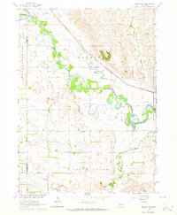 1963 Madison NE1964 Print · USGSThe Elkhorn River valley in Northeast Nebraska is captured here during the early sixties, showing a landscape defined by small-town infrastructure. You can trace the Chicago and North Western rail line and locate rural sites like Pleasant Run Cem or School No 19.3 unique versions available
 - 1963 Map of Stanton NE, 1964 Print
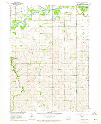 1963 Stanton NE1964 Print · USGSStanton and Cuming Counties are captured in the early sixties, showing a rural Nebraska landscape defined by the Elkhorn River and the Chicago and North Western rail line. Genealogists can locate specific landmarks like St Matthews Church, Clinton School, and Vogel School.
 - 1963 Map of Stanton, 1964 Print
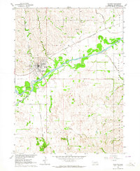 1963 Stanton1964 Print · USGSStanton and the Elkhorn River valley are captured here in the early sixties as the rail-and-river economy defined local life. Researchers can trace rural school locations like School No 15 or find family history at the Zander Cem and Koch Cem.2 unique versions available
 - 1966 Map of Clarkson, 1968 Print
 1966 Clarkson1968 Print · USGSEastern Colfax County comes into focus in the mid-sixties, showing the settled prairie at a time of rural stability. Researchers can trace the Railroad Grade, locate old schoolhouses like School No 48, and find family sites near Heun.
 - 1966 Map of Creston, 1968 Print
 1966 Creston1968 Print · USGSThe village of Creston and the surrounding farmlands are captured in the mid-1960s at the intersection of four Nebraska counties. Researchers can trace rural landmarks including the Old Railroad Grade, Creston Pioneer Cem, and Boheet Sch.
 - 1966 Map of Stanton SE, 1968 Print
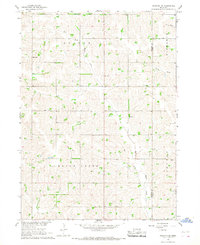 1966 Stanton SE1968 Print · USGSStanton and Cuming Counties are shown during the mid-sixties as a network of creek-bottom farms and rural school districts. Genealogists can trace family footprints through sites like St Johns Ch, School No 51, and the Cem in the Bismarck area.
 - 1966 Map of Stanton SW, 1968 Print
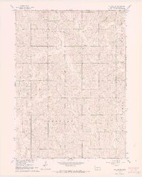 1966 Stanton SW1968 Print · USGSStanton County farm country is captured in the mid-sixties, showing a landscape of scattered rural schools and family townships. You can trace early family sites like Erychleb Cem or locate former schoolhouses including Clay Hill Sch and Glandt Sch.2 unique versions available
 - 1966 Map of Leigh, 1968 Print
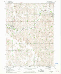 1966 Leigh1968 Print · USGSThe rural countryside of Stanton and Colfax Counties is captured here in the mid-1960s, showing a landscape of family farms and small-town life. Researchers can trace the heritage of local settlements through several burial sites like Bohemian Cem and Leigh Cem or locate defunct schools such as Plain View Sch.
 - 1985 Map of Stanton
 1985 Stanton1985 Print · USGSNortheast Nebraska in the mid-eighties shows a landscape of river-valley agriculture and evolving rail networks. Genealogists can trace family footprints through Stanton and Madison, or locate historical markers like the Old Indian Treaty Boundary and Saint Bernard.2 unique versions available
 - 1985 Map of Norfolk, 1986 Print
 1985 Norfolk1986 Print · USGSNortheast Nebraska in the mid-eighties shows a landscape shaped by the Elkhorn River and established rail corridors. Trace the growth of towns like Norfolk and Wayne, locating institutional landmarks such as Wayne State College and Norfolk Regional Center.2 unique versions available
 - 2011 Map of Pilger, 2011 Print
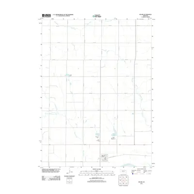 2011 Pilger2011 Print · USGSStanton County farmland surrounds the village of Pilger during this 2011 survey, prior to the major environmental changes that would later affect the town. Genealogists and local historians can locate the Pilger Cemetery and trace the paths of the Elkhorn River and Humbug Creek.
 - 2011 Map of Hoskins, 2011 Print
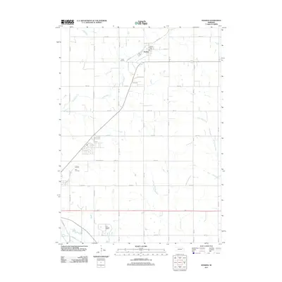 2011 Hoskins2011 Print · USGSThe village of Hoskins and its surrounding farmstead grid are captured here in the early twenty-first century. Genealogists and local historians can trace family locations through Trinity Cemetery, Zion Cemetery, and the Hoskins Post Office.
 - 2011 Map of Wayne SW, 2011 Print
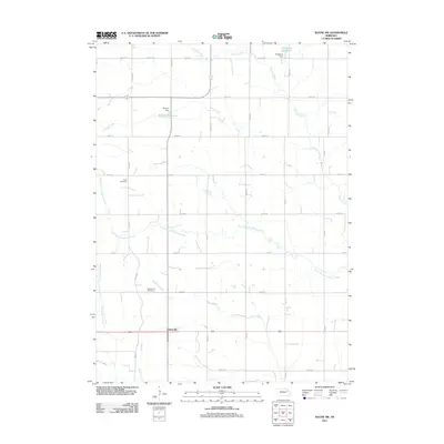 2011 Wayne SW2011 Print · USGSSpurville and the agricultural heartland of Stanton County are documented here during the early twenty-first century. Researchers can locate family heritage sites like Bega Cemetery and Bethlehem Cemetery or trace water resources such as Dangberg Reservoir and Humbug Creek.
 - 2011 Map of Creston, 2011 Print
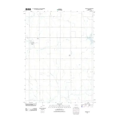 2011 Creston2011 Print · USGSThe village of Creston and its surrounding farmstead grid are documented here in the early 2010s. Genealogists can locate Fairview Cemetery and Creston Pioneer Cemetery or trace the routes of Meridian Creek.
 - 2011 Map of Clarkson, 2011 Print
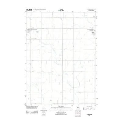 2011 Clarkson2011 Print · USGSColfax County's farming heartland is documented here in the early 2000s, showing the structured grid of rural roads between established rail-era towns. Researchers can locate civic landmarks like the Clarkson Post Office and Saint Johns Cemetery or trace the winding West Fork Maple Creek.
Showing maps 1-25 of 68
Top cities of Stanton County
Frequently asked questions
- What are the different types of historical maps available for Stanton County?
- What is the oldest map of Stanton County?
- Where can I purchase historical maps of Stanton County for my home or office?
- Where can I download high-res historical maps of Stanton County?
- Are there historical topographic maps available for Stanton County?
- Is there historical aerial imagery available for Stanton County?
- Where are historical maps of Stanton County sourced from?