2000s (21st Century) Maps of York, Nebraska
Explore 12 historic maps of York from the 2000s (21st Century). These maps offer a rare glimpse into what life looked like during the 2000s — showing old roads, neighborhoods, homes, and landmarks that have changed or disappeared over time.
Whether you're researching your family's past, planning a metal detecting trip, or studying how York's landscape evolved across the 2000s, these high-resolution maps are a powerful tool for exploring the history of this region.
- Focus on a specific era: All maps on this page are from the 2000s, giving you a focused view of this time period.
- See what’s changed: Compare century-old streets, trails, and buildings to today's modern landscape using overlays and satellite layers.
- Research with precision: Use these maps for genealogy, historical research, land use analysis, or educational projects.
- View, download, or print: Maps are fully viewable online in high resolution, and can be downloaded or printed for your own records.
Start exploring York's history through authentic maps from the 2000s. This is your window into the past.
York, NE maps
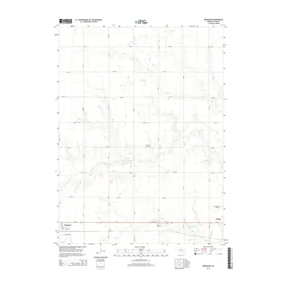
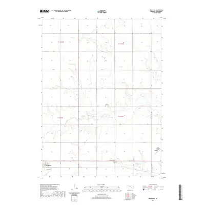
(12)- 2011 Map of Bradshaw, 2011 Print
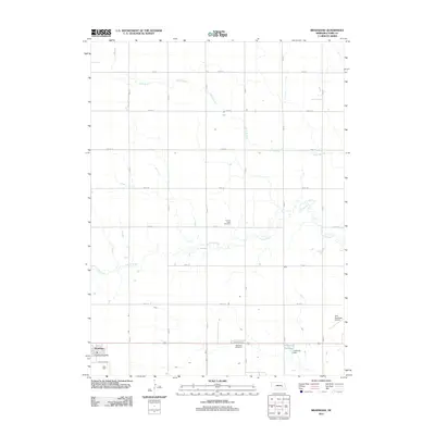 2011 Bradshaw2011 Print · USGSCovers York, including Bradshaw, York County, and other nearby areas
 - 2011 Map of York North, 2011 Print
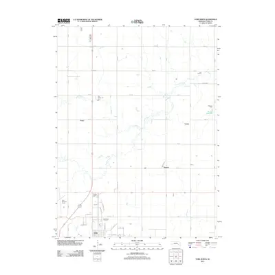 2011 York North2011 Print · USGSCovers York, including Thayer, Mapps, and other nearby areas
 - 2011 Map of York South, 2011 Print
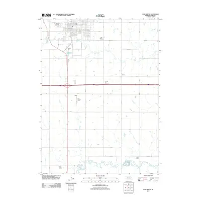 2011 York South2011 Print · USGSCovers York, including Knox, York County, and other nearby areas
 - 2014 Map of York North, 2014 Print
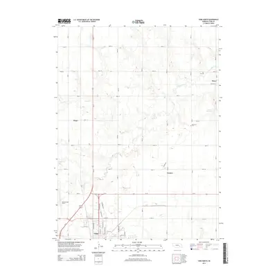 2014 York North2014 Print · USGSCovers York, including Thayer, Mapps, and other nearby areas
 - 2014 Map of Bradshaw, 2014 Print
 2014 Bradshaw2014 Print · USGSCovers York, including Bradshaw, York County, and other nearby areas
 - 2014 Map of York South, 2014 Print
 2014 York South2014 Print · USGSCovers York, including Knox, York County, and other nearby areas
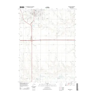
 - 2017 Map of York South, 2017 Print
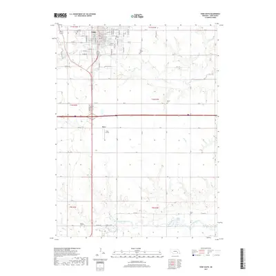 2017 York South2017 Print · USGSCovers York, including Knox, York County, and other nearby areas
 - 2017 Map of York North, 2017 Print
 2017 York North2017 Print · USGSCovers York, including Thayer, Mapps, and other nearby areas
 - 2017 Map of Bradshaw, 2017 Print
 2017 Bradshaw2017 Print · USGSCovers York, including Bradshaw, York County, and other nearby areas
 - 2021 Map of Bradshaw, 2021 Print
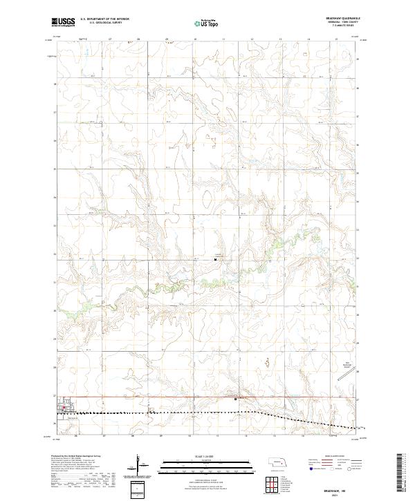 2021 Bradshaw2021 Print · USGSThe community of Bradshaw and the surrounding York County plains are captured here in the early 2020s. Genealogists and researchers can trace family roots at Lincoln Creek Cem or locate regional landmarks like the York Municipal Airport.
 - 2021 Map of York South, 2021 Print
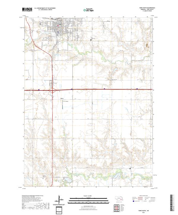 2021 York South2021 Print · USGSYork and its southern environs appear in this modern topographic study, showing the city's growth alongside the rural townships of the 2020s. Researchers can locate family landmarks like Saints Josephs Cem, York College, and the winding West Fork Big Blue River.
 - 2021 Map of York North, 2021 Print
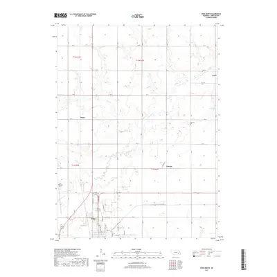
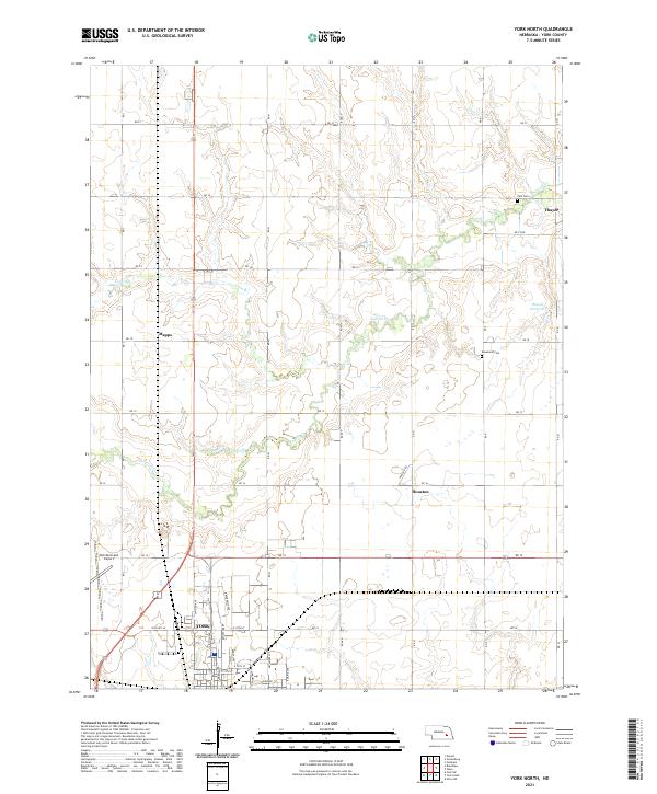 2021 York North2021 Print · USGSThe northern outskirts of York and the surrounding Nebraska prairie are captured here in the early twenty-first century. Genealogists and local historians can trace rural landmarks including Zion Cem, Rosemond Cem, and the quiet settlements of Thayer and Houston.
End of results
Showing maps 1-12 of 12
Top cities near York
- Henderson historical maps
- Exeter historical maps
- Fairmont historical maps
- McCool Junction historical maps
- Bradshaw historical maps
- Polk historical maps
See more
Frequently asked questions
- What are the different types of historical maps available for York?
- What is the oldest map of York?
- Where can I purchase historical maps of York for my home or office?
- Where can I download high-res historical maps of York?
- Are there historical topographic maps available for York?
- Is there historical aerial imagery available for York?
- Where are historical maps of York sourced from?