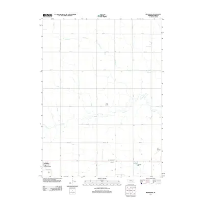
2011 Map of Bradshaw
USGS Topo · Published 2011About this map
Bradshaw serves as the primary settlement center in this portion of York County, situated along the southern edge of the survey area. The landscape is defined by the steady, geometric grid of rural roads, including Bradshaw Rd and Lockridge Rd, which partition the agricultural plains. Significant water features include the meandering Lincoln Creek and Coon Branch, which drain the open country. For those researching local history, the map identifies key community anchors such as the Bradshaw Post Office and two distinct burial grounds: Lincoln Creek Cemetery and Bethesda Cemetery. The presence of the York Municipal Airport in the southeast corner and the engineered Carpenter Reservoir, held by Carpenter Dam, illustrates the integration of modern infrastructure into this traditional Nebraska farming landscape.
Find a feature on this map
18 named features on this map. Tap any name to fly to it.
Don’t see what you’re looking for? This feature index may not catch every label — zoom into the map to look around manually.
Map Details
Editions of this 2011 Bradshaw Map
This is the sole edition of this map. No revisions or reprints were ever made.
Other maps of this area

1896 · Stromsburg
USGS Topo · 1:125,000

1898 · York
USGS Topo · 1:125,000

1899 · York
USGS Topo · 1:125,000

1955 · Fremont
USGS Topo · 1:250,000

1955 · Lincoln
USGS Topo · 1:250,000

1957 · Fremont
USGS Topo · 1:250,000

1957 · Lincoln
USGS Topo · 1:250,000

1958 · Fremont
USGS Topo · 1:250,000

1958 · Lincoln
USGS Topo · 1:250,000

1962 · Polk
USGS Topo · 1:24,000