1960s Maps of Churchill County, Nevada
Explore 33 historic maps of Churchill County from the 1960s. These maps offer a rare glimpse into what life looked like during the 1960s — showing old roads, neighborhoods, homes, and landmarks that have changed or disappeared over time.
Whether you're researching your family's past, planning a metal detecting trip, or studying how Churchill County's landscape evolved across the 1960s, these high-resolution maps are a powerful tool for exploring the history of this region.
- Focus on a specific era: All maps on this page are from the 1960s, giving you a focused view of this time period.
- See what’s changed: Compare century-old streets, trails, and buildings to today's modern landscape using overlays and satellite layers.
- Research with precision: Use these maps for genealogy, historical research, land use analysis, or educational projects.
- View, download, or print: Maps are fully viewable online in high resolution, and can be downloaded or printed for your own records.
Start exploring Churchill County's history through authentic maps from the 1960s. This is your window into the past.
Churchill County, NV maps
(33)- 1960 Map of Reno
 1960 Reno1960 Print · USGSThe high desert of western Nevada comes alive in this mid-century survey of the Reno-Tahoe region. Genealogists and historians can trace rail lines like the Southern Pacific RR and locate remote outposts such as Olinghouse, Nixon, and the Olinghouse Mine.2 unique versions available
 - 1961 Map of Cain Mountain, 1963 Print
 1961 Cain Mountain1963 Print · USGSPershing County's high-desert basins and rugged ranges are captured here in the early sixties, showing a landscape defined by thermal activity and remote cattle stations. Researchers can trace the heritage of isolated outposts like Seven Devils Ranch, McCoy Ranch, and the geothermal waters of Sou Hot Springs.2 unique versions available
 - 1961 Map of Fencemaker, 1963 Print
 1961 Fencemaker1963 Print · USGSPershing and Churchill Counties are seen here in the early sixties, highlighting the high desert ridges and remote camps of central Nevada. Researchers can locate isolated outposts like Fencemaker Camp, the high-altitude Pleasant Valley Beacon, and the Gilberts Mine near the county line.3 unique versions available
 - 1962 Map of Winnemucca
 1962 Winnemucca1962 Print · USGSNorthern Nevada's high desert comes alive in the mid-1950s as a vital transportation and mining corridor following the Humboldt River. Trace the early rail-and-ranch economy through stops like Palisade, find old workings at the Adelaide Mine, and see the layout of Winnemucca before the interstate era.
 - 1966 Map of Clan Alpine Ranch, 1968 Print
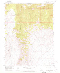
 1966 Clan Alpine Ranch1968 Print · USGSThe Clan Alpine Mountains of Churchill County come into focus during the mid-sixties, revealing a landscape of remote mining claims and desert ranching. Researchers can locate the Clan Alpine (Ruins), trace trails to the Lighthouse Mine, and identify scattered water sources like Railroad Springs.
 - 1966 Map of Humboldt Salt Marsh, 1968 Print
 1966 Humboldt Salt Marsh1968 Print · USGSThe arid expanse of Dixie Valley is captured here in the mid-1960s, showing a landscape defined by ranching and high-desert mining. Researchers can trace remote sites like Boyer Ranch, the Antimony King Mine, and family Graves near the landing strip.
 - 1966 Map of Dixie Hot Springs, 1968 Print
 1966 Dixie Hot Springs1968 Print · USGSThe Stillwater Range and Dixie Valley meet in the mid-1960s, revealing a landscape of remote mining camps and vital desert water sources. Researchers can trace the footprints of early industry at Coppereid Ruins, the Buena Vista Mine, and the historic Dixie townsite.2 unique versions available
 - 1966 Map of Shoshone Meadows, 1968 Print
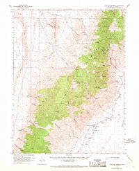
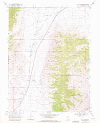
 1966 Shoshone Meadows1968 Print · USGSThe Nevada desert interior comes to life in the 1960s, showing a remote landscape of high peaks and vital water sources. Trace historical water points and prospecting sites like Hole in the Wall Spring, Shoshone Meadows Springs, and a lone Mine.2 unique versions available
 - 1966 Map of Edwards Creek Valley, 1968 Print
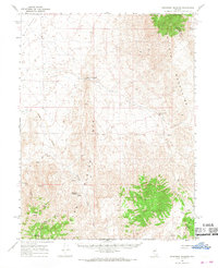
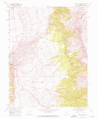
 1966 Edwards Creek Valley1968 Print · USGSThe high desert of Churchill County comes into focus in the mid-1960s, showing a landscape defined by ranching and old transport routes. Researchers can trace the Overland Stage Sta (Ruins) near New Pass or locate remote sites like Byers Ranch and the Tungsten Mtn Mine.
 - 1967 Map of Fireball Ridge, 1984 Print
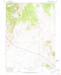
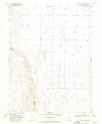
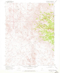
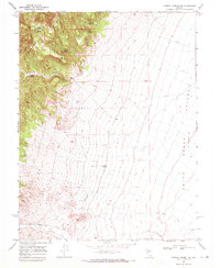
 1967 Fireball Ridge1984 Print · USGSThe high desert of Churchill County in the late 1950s was a landscape of remote mining claims and thermal springs. Researchers can trace the era's mining footprint through the Jay Bird Mine, numerous prospects, and the arid expanses of Alkali Flat.
 - 1969 Map of Mount Airy, 1971 Print
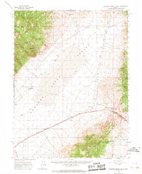
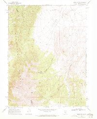
 1969 Mount Airy1971 Print · USGSLander and Churchill counties are captured here in the late sixties, showing a landscape defined by high-altitude mining and desert springs. Researchers can trace the legacy of the New Pass Mine, locate the isolated Grave near the summit, or find the site of Petersons Mill.2 unique versions available
 - 1969 Map of Lone Rock SW, 1971 Print
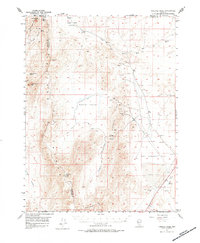
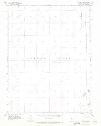 1969 Lone Rock SW1971 Print · USGSChurchill County in the late sixties reveals a landscape of absolute isolation and military activity. Researchers can trace the boundaries of the Navy Bombing Area and the vast Carson Sink, where only shifting Sand Dunes break the horizon.2 unique versions available
 - 1969 Map of Gilbert Creek SW, 1971 Print
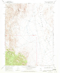 1969 Gilbert Creek SW1971 Print · USGSLander and Churchill counties meet in this high-desert mining district during the late sixties. Researchers can trace the layout of the McCoy Mining Camp, the operations at Wildhorse Mine, and the remote Jeep Trails crossing the Augusta Mountains.2 unique versions available
 - 1969 Map of Quartz Mtn, 1971 Print
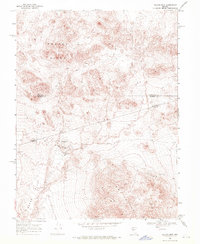 1969 Quartz Mtn1971 Print · USGSHigh-desert mining country at the intersection of Mineral, Nye, and Churchill counties comes into focus during the late sixties. Trace the locations of the San Rafael Mine, the White Pine Mine, and the settlement at Quartz Mountain.3 unique versions available
 - 1969 Map of Gilbert Creek NW, 1971 Print
 1969 Gilbert Creek NW1971 Print · USGSLander and Churchill counties are captured during the late sixties at the rugged intersection of mountain and basin. Researchers can trace the drainage of Antelope Creek and find several wells and primitive Jeep Trails used by ranchers and miners.2 unique versions available
 - 1969 Map of Mount Airy NW, 1971 Print
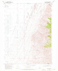
 1969 Mount Airy NW1971 Print · USGSNevada's high desert near the Lander and Churchill county line is shown here in the late sixties as a landscape of isolated mines and vital springs. Map collectors and researchers can trace access routes to the Peterson Mine, Santa Rosa Mine, and Gilbert Creek.2 unique versions available
 - 1969 Map of Cox Canyon, 1971 Print
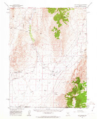
 1969 Cox Canyon1971 Print · USGSChurchill County’s high-desert terrain is captured here in the late sixties, where the rugged Stillwater Range meets the vast Carson Sink. Researchers can trace old livestock and mining activity through sites like the Corral, Desert Well, and several high-altitude prospects.
 - 1969 Map of Table Mtn, 1971 Print
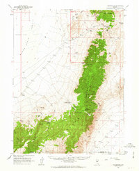
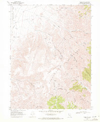 1969 Table Mtn1971 Print · USGSThe high peaks and deep canyons of Churchill County are documented here in the late sixties, revealing a landscape defined by isolation and elevation. Researchers can trace remote routes like the Jeep Trail through Long Pete Canyon and locate vital water sources like Hard Time Spring.3 unique versions available
 - 1969 Map of Camp Creek Canyon, 1972 Print
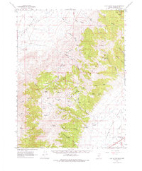
 1969 Camp Creek Canyon1972 Print · USGSHigh-desert ranching and mountain terrain define this Churchill County landscape in the late sixties. Researchers can trace remote water sources and access routes like Bench Creek Ranch, Lone Tree Well 5367, and various Jeep Trails.3 unique versions available
 - 1969 Map of Quartzite Mtn NW, 1972 Print
 1969 Quartzite Mtn NW1972 Print · USGSChurchill County’s high desert landscape is documented here in the late sixties, showing a terrain shaped by mining exploration and water management. You can trace the path of numerous Jeep Trails leading to isolated sites like Mud Spring and the Broken Hills.3 unique versions available
 - 1969 Map of Pintail Bay, 1972 Print
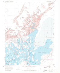 1969 Pintail Bay1972 Print · USGSThe Stillwater marshes in Churchill County were a vital desert oasis in the late sixties, supporting a diverse network of wetlands and seasonal landings. Researchers can trace historic access points like Peers Landing and Tule Lake Landing or follow the path of the Lead Lake Canal.
 - 1969 Map of Lone Rock, 1972 Print
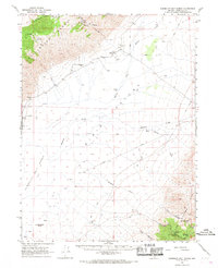
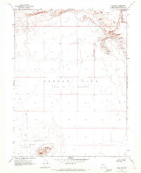 1969 Lone Rock1972 Print · USGSChurchill County’s desert landscape in the late sixties reveals a mix of natural depressions and Cold War military activity. Researchers can trace the perimeter of the Navy Bombing Target Area surrounding Lone Rock and the wide Alkali Flat.3 unique versions available
 - 1969 Map of Cold Springs, 1972 Print
 1969 Cold Springs1972 Print · USGSNevada's high desert reveals its frontier history in the late sixties, where the Old Overland Road meets the Desatoya Mts. Researchers can locate historic sites like the Old Telegraph Station and Alpine Ranch.3 unique versions available
 - 1969 Map of Desatoya Peak, 1972 Print
 1969 Desatoya Peak1972 Print · USGSThe high Nevada desert meets the mountains in the late 1960s, documenting the rugged border of Churchill and Lander counties. Local historians and explorers can trace early desert routes past Eastgate, secluded springs like Park Canyon Spring, and the heights of Desatoya Peak.2 unique versions available
 - 1969 Map of Carroll Summit NE, 1972 Print
 1969 Carroll Summit NE1972 Print · USGSLander and Churchill counties meet in the high desert during the late sixties, where the mountains give way to a broad basin. Genealogists and historians can trace the Old Smith Overland Road and find remote water sources like Stoker Spring and Corral Spring.2 unique versions available
Showing maps 1-25 of 33
Top cities of Churchill County
Frequently asked questions
- What are the different types of historical maps available for Churchill County?
- What is the oldest map of Churchill County?
- Where can I purchase historical maps of Churchill County for my home or office?
- Where can I download high-res historical maps of Churchill County?
- Are there historical topographic maps available for Churchill County?
- Is there historical aerial imagery available for Churchill County?
- Where are historical maps of Churchill County sourced from?