1990s Maps of Churchill County, Nevada
Explore 24 historic maps of Churchill County from the 1990s. These maps offer a rare glimpse into what life looked like during the 1990s — showing old roads, neighborhoods, homes, and landmarks that have changed or disappeared over time.
Whether you're researching your family's past, planning a metal detecting trip, or studying how Churchill County's landscape evolved across the 1990s, these high-resolution maps are a powerful tool for exploring the history of this region.
- Focus on a specific era: All maps on this page are from the 1990s, giving you a focused view of this time period.
- See what’s changed: Compare century-old streets, trails, and buildings to today's modern landscape using overlays and satellite layers.
- Research with precision: Use these maps for genealogy, historical research, land use analysis, or educational projects.
- View, download, or print: Maps are fully viewable online in high resolution, and can be downloaded or printed for your own records.
Start exploring Churchill County's history through authentic maps from the 1990s. This is your window into the past.
Churchill County, NV maps
(24)- 1990 Map of Hole In The Wall
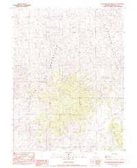
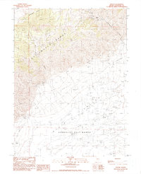
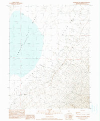
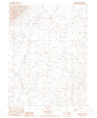
 1990 Hole In The Wall1990 Print · USGSChurchill County is documented here in the early nineties, showing a remote desert intersection of the Augusta Mountains and Clan Alpine Mountains. Researchers can trace old routes through Hole in the Wall and follow 4WD tracks across the high Valley.
 - 1990 Map of Byers Ranch
 1990 Byers Ranch1990 Print · USGSChurchill County, Nevada, is captured here in the late twentieth century as a landscape of remote ranching and high-desert basins. Researchers can trace family names and land use at Byers Ranch or locate the settlement of Edwards near the Desatoya Mountains.
 - 1990 Map of Mt. Augusta
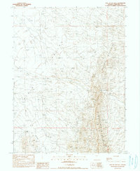
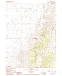
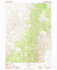
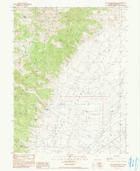
 1990 Mt. Augusta1990 Print · USGSThe Alpine Mountains of Churchill County are captured here in the late twentieth century, showing a landscape of high summits and deep canyons. Researchers can trace remote water sources like Kaiser Spring and explore named features such as Railroad Ridge and Grover Basin.
 - 1990 Map of Bernice Canyon
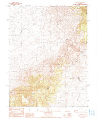
 1990 Bernice Canyon1990 Print · USGSThe Clan Alpine Mountains rise above the Dixie Valley in the 1990s, revealing a landscape shaped by high-desert mining. Researchers can locate remote mineral claims like the Antimony King Mine, Marquerite No 2 Mine, and U-Bet Mine tucked within Bernice Canyon.
 - 1990 Map of Cain Mountain
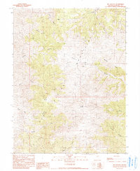
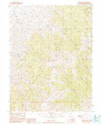
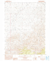
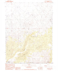
 1990 Cain Mountain1990 Print · USGSPershing County ranching and rugged Great Basin topography are documented here in the late twentieth century. Researchers can trace land use through remote sites like Mc Coy Ranch and natural landmarks such as Cain Mountain and Favret Canyon.
 - 1990 Map of Byers Canyon
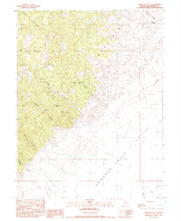
 1990 Byers Canyon1990 Print · USGSChurchill County, Nevada, is captured here in the late twentieth century as a landscape of high peaks and mining history. Researchers can locate remote mineral operations like Blue Eagle Mine and Drumm Mine or trace the drainages of Byers Canyon and Deer Lodge Canyon.
 - 1990 Map of Shoshone Meadows
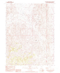 1990 Shoshone Meadows1990 Print · USGSChurchill County, Nevada, is captured here in the late twentieth century, showing a landscape defined by high peaks and vital water sources. Researchers can trace mineral exploration sites like Open Prospects or locate the remote Shoshone Meadows and Shoshone Springs.
 - 1990 Map of New Pass Well
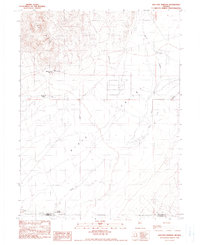
 1990 New Pass Well1990 Print · USGSThe high desert basins of Churchill County come into focus in the late twentieth century, showing the remote corridor between the Clan Alpine Mountains and the New Pass Range. Researchers can trace essential water sources like New Pass Well and Horseshoe Well across the valley floor.
 - 1990 Map of Shoshone Meadows SE
 1990 Shoshone Meadows SE1990 Print · USGSThe high basins and mountain peaks of Churchill County are documented here in the late twentieth century. Researchers can trace vital water sources and landforms like Hole in the Wall Well, the Augusta Mountains, and New Pass Well.
 - 1990 Map of Sou Hot Springs
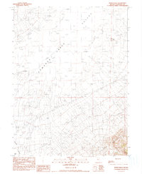
 1990 Sou Hot Springs1990 Print · USGSPershing and Churchill counties met in this arid basin during the late twentieth century, where geothermal features defined the landscape. Researchers can trace ranching history and natural hydrology through Sou Hot Springs, Little Mc Coy Ranch, and the Seven Devils Ranch (Site).
 - 1990 Map of Dixie Hot Springs NE
 1990 Dixie Hot Springs NE1990 Print · USGSThe Stillwater Range meets the Dixie Valley in this 1990 survey of Churchill County's high-desert landscape. Researchers can locate remote ranching and mining sites like Anderson Ranch, an Open Pit Mine, and various old routes including a Pack Trail.
 - 1990 Map of Dixie Hot Springs
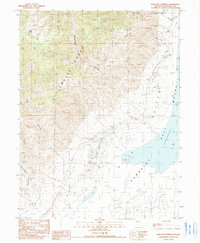 1990 Dixie Hot Springs1990 Print · USGSThe Stillwater Range meets the Humboldt Salt Marsh in Churchill County during the late twentieth century. Researchers can trace the legacy of desert mining and settlement at the Dixie townsite, the Dixie Comstock Mine, and Dixie Hot Springs.
 - 1990 Map of Bolivia
 1990 Bolivia1990 Print · USGSThe Stillwater Range and Dixie Valley meet in this Nevada-Churchill Co. landscape during the late twentieth century. Genealogists and researchers can trace the location of the Bolivia (Site), the Nickel Mine, and the vast Humboldt Salt Marsh.
 - 1990 Map of New Pass
 1990 New Pass1990 Print · USGSThe high desert of Churchill and Lander Counties comes into focus in the late twentieth century, centered on a historic transit corridor. Trace the remnants of the Overland Stage Station and the rugged path through New Pass between the New Pass Range and the Desatoya Mountains.
 - 1990 Map of Buena Vista Hills South
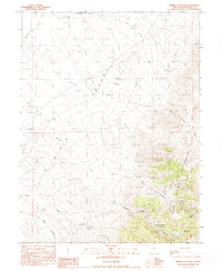
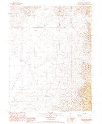
 1990 Buena Vista Hills South1990 Print · USGSChurchill County in the late eighties and early nineties reveals a rugged landscape defined by mineral exploration and the shifting sands of the Carson Sink. Researchers can trace old mining efforts through the Buena Vista Mine and numerous prospects along the Stillwater Range.
 - 1990 Map of Fondaway Canyon
 1990 Fondaway Canyon1990 Print · USGSThe Stillwater Range and the eastern edge of the Carson Sink are captured here in the 1990s, revealing a landscape defined by mining history. Researchers can trace the layout of the Coppereid (Site) and locate numerous remote Mine Shaft and Mine Prospect workings in Fondaway Canyon.
 - 1990 Map of Humboldt Salt Marsh
 1990 Humboldt Salt Marsh1990 Print · USGSDixie Valley remains a landscape of shifting desert hydrology and isolated outposts in the early nineties. Researchers can trace the placement of remote water sources like Buckbrush Spring and the Dye-Elias Well along the edge of the Humboldt Salt Marsh.
 - 1990 Map of Cow Canyon
 1990 Cow Canyon1990 Print · USGSThe high desert of Churchill County comes into focus in the early 1990s as the Clan Alpine Mountains meet Dixie Valley. Researchers can trace the rugged network of drainages and water points including Cow Canyon, Grover Point Well, and Meadow Spring Can.
 - 1990 Map of Shoshone Meadows NE
 1990 Shoshone Meadows NE1990 Print · USGSThe high-desert border between Churchill and Lander counties comes into focus in this late-century survey. Researchers and outdoorsmen can trace vital water sources and landmarks across the Augusta Mountains, including Cain Spring and Hole in the Wall Well No 2.
 - 1990 Map of Fencemaker Pass
 1990 Fencemaker Pass1990 Print · USGSThe high Stillwater Range meets the Dixie Valley in the late 1980s, revealing a landscape shaped by persistent mineral exploration. Trace historic mining activity through Gilberts Mine, the Fencemaker Pass trail, and numerous unnamed mine shafts.
 - 1990 Map of Boyer Ranch
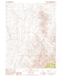
 1990 Boyer Ranch1990 Print · USGSChurchill County ranching and energy exploration meet in the late 1980s as the high peaks of the Stillwater Range shadow the basin floor. Researchers can trace land use from the Boyer Ranch to a density of GEOTHERMAL WELLS and a prominent FUMAROLE.
 - 1990 Map of Logan Peak
 1990 Logan Peak1990 Print · USGSPershing and Churchill counties meet at the high crests of the Stillwater Range during the late twentieth century. Researchers can trace remote ranching outposts and high-desert water sources including Boyer Ranch, Buena Vista Well, and Kitten Springs.
 - 1990 Map of Clan Alpine Ranch
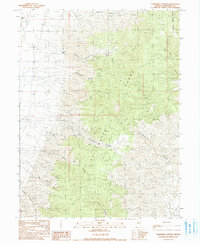
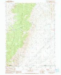
 1990 Clan Alpine Ranch1990 Print · USGSThe Clan Alpine Mountains and Edwards Valley are captured here in the late twentieth century. Researchers can locate the site of Clan Alpine (Ruins) and trace water sources like Willow Spring and the Tungsten Williams Mine.
 - 1990 Map of Tungsten Mtn.
 1990 Tungsten Mtn.1990 Print · USGSThe high peaks of the Clan Alpine Mountains meet the desert floor in this 1990 survey of Churchill County. Researchers can trace historical mining activity at the Tungsten Mtn Mine or locate remote water sources like Smooth Canyon Spring.
End of results
Showing maps 1-24 of 24
Top cities of Churchill County
Frequently asked questions
- What are the different types of historical maps available for Churchill County?
- What is the oldest map of Churchill County?
- Where can I purchase historical maps of Churchill County for my home or office?
- Where can I download high-res historical maps of Churchill County?
- Are there historical topographic maps available for Churchill County?
- Is there historical aerial imagery available for Churchill County?
- Where are historical maps of Churchill County sourced from?