1970s Maps of Churchill County, Nevada
Explore 20 historic maps of Churchill County from the 1970s. These maps offer a rare glimpse into what life looked like during the 1970s — showing old roads, neighborhoods, homes, and landmarks that have changed or disappeared over time.
Whether you're researching your family's past, planning a metal detecting trip, or studying how Churchill County's landscape evolved across the 1970s, these high-resolution maps are a powerful tool for exploring the history of this region.
- Focus on a specific era: All maps on this page are from the 1970s, giving you a focused view of this time period.
- See what’s changed: Compare century-old streets, trails, and buildings to today's modern landscape using overlays and satellite layers.
- Research with precision: Use these maps for genealogy, historical research, land use analysis, or educational projects.
- View, download, or print: Maps are fully viewable online in high resolution, and can be downloaded or printed for your own records.
Start exploring Churchill County's history through authentic maps from the 1970s. This is your window into the past.
Churchill County, NV maps
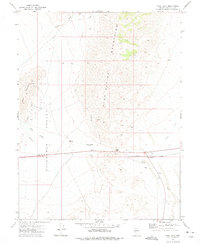
(20)- 1972 Map of Bell Mountain, 1975 Print
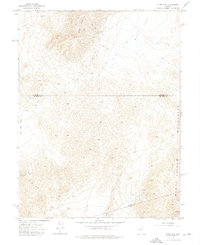
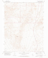 1972 Bell Mountain1975 Print · USGSBell Mountain and the surrounding high-desert terrain of Churchill County are captured here in the early 1970s. Researchers can trace the legacy of mineral exploration through remote Mine sites and Prospects connected only by a network of Jeep Trails.
 - 1972 Map of Pirouette Mtn, 1975 Print
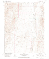 1972 Pirouette Mtn1975 Print · USGSNevada's Dixie Valley remains a sparse and isolated landscape in the early seventies, shaped by mining and ranching. Collectors and researchers can trace old ranching sites like the Corral or locate historic mineral Prospects near the slopes of Pirouette Mtn.2 unique versions available
 - 1972 Map of I X L Canyon, 1975 Print
 1972 I X L Canyon1975 Print · USGSThe Stillwater Range meets the Dixie Valley in the early 1970s, revealing a landscape of remote mines and desert tracks. Genealogists and historians can trace the foundations of the Silver Hill (Site) or locate the Creore Mine and James outpost.2 unique versions available
 - 1972 Map of Fourmile Flat, 1975 Print
 1972 Fourmile Flat1975 Print · USGSThe alkaline basins of Churchill County are captured here in the early 1970s, featuring the intersection of pioneer history and modern transport. Researchers can locate the Historical Marker (Site of Sand Springs Pony Express Station), an isolated Grave, and the Tunnel Spring Windmill.3 unique versions available
 - 1972 Map of Job Peak, 1975 Print
 1972 Job Peak1975 Print · USGSThe Stillwater Range and the sinking floor of the Dixie Valley appear here in the early 1970s. Trace the remote network of a Pack Trail and Jeep Trails connecting isolated features like Cain Spring, Job Peak, and the Dixie Wash.2 unique versions available
 - 1972 Map of Wonder Mountain, 1975 Print
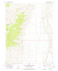
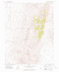
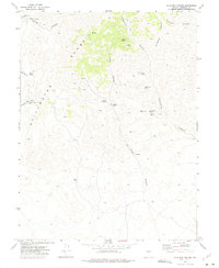
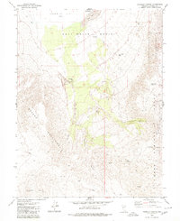
 1972 Wonder Mountain1975 Print · USGSThe Clan Alpine Mountains served as a center for Nevada silver mining during the early twentieth-century boom, seen here during a 1970s topographic update. Genealogists and historians can trace former settlements like Wonder (Site) and Hercules (Site), and locate the small Cem on Badger Flat.3 unique versions available
 - 1972 Map of Dixie Valley, 1975 Print
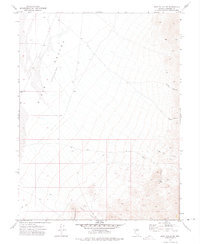
 1972 Dixie Valley1975 Print · USGSDixie Valley in the early 1970s is a study in desert survival and hydraulic engineering within a vast basin of salt marshes and dunes. Researchers can trace remote desert homesteads and vital water infrastructure through labels like the Crazy K Ranch, Shaw Well, and Ellis Lane.
 - 1972 Map of Diamond Canyon, 1975 Print
 1972 Diamond Canyon1975 Print · USGSThe Stillwater Range and the edge of the Stillwater National Wildlife Refuge appear here in the early 1970s. Researchers can trace remote desert water sources like Mountain Well and the winding course of Diamond Canyon.
 - 1972 Map of Slate Mtn, 1975 Print
 1972 Slate Mtn1975 Print · USGSMineral County, Nevada, is captured in the early seventies during a period of active high-desert mining and exploration. Researchers can trace the haul routes and site locations for the Eagleville Mine, Slate Mine, and the southern King Mine.2 unique versions available
 - 1972 Map of Bell Canyon, 1975 Print
 1972 Bell Canyon1975 Print · USGSThe Nevada desert during the early 1970s reveals a transition between active mineral exploration and military expansion. Mineral seekers and historians can trace the locations of the Nevada Hills Mine, Bell Mountain Mine, and the high-altitude Radio Facility atop Fairview Peak.2 unique versions available
 - 1972 Map of Dixie Valley SE, 1975 Print
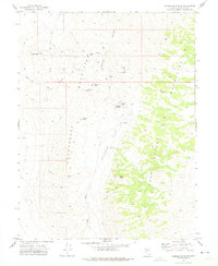
 1972 Dixie Valley SE1975 Print · USGSChurchill County ranching and prospecting are documented here during the early seventies, showing a remote desert landscape shaped by seasonal water and mining. Researchers can trace the layout of Horse Creek Ranch or locate the Prospect near Hercules Canyon.2 unique versions available
 - 1972 Map of Broken Hills, 1975 Print
 1972 Broken Hills1975 Print · USGSMining activity and remote desert infrastructure define this high-altitude Nevada landscape during the early seventies. Genealogists and historians can trace the Broken Hills (Site), locate the Broken Hills Mine, and identify isolated landmarks like the Grave near Gabbs Wash.2 unique versions available
 - 1972 Map of West Gate, 1975 Print
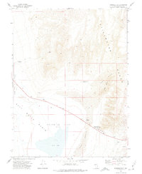
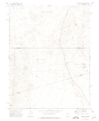
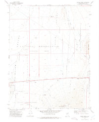
 1972 West Gate1975 Print · USGSChurchill County's high-desert mining and transit corridors are captured here in the early seventies. Trace local industrial history through the West Gate Mill (Site) or locate landmarks like Chalk Mountain and the settlement of Middlegate.
 - 1972 Map of Drumm Summit, 1975 Print
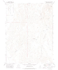
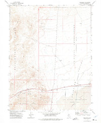
 1972 Drumm Summit1975 Print · USGSChurchill County in the early seventies shows a landscape where old mining camps meet modern military training grounds. Researchers can find the Fairview townsite, the local Cem, and historic workings at the Dromedary Hump Mine.2 unique versions available
 - 1972 Map of Frenchman, 1975 Print
 1972 Frenchman1975 Print · USGSThe Nevada desert in the early seventies reveals a landscape divided between high-altitude mining and military training zones. Researchers can trace the layout of the Frenchman settlement or locate the Summit King Mine and Tailings in the Sand Springs Range.2 unique versions available
 - 1972 Map of La Plata Canyon, 1975 Print
 1972 La Plata Canyon1975 Print · USGSHigh in the Stillwater Range during the early seventies, this area preserves the site of a former county seat and silver camp. Researchers can trace the remnants of La Plata (Site), find remote Ruins, and locate vital water sources like Burnt Cabin Spring.
 - 1979 Map of Carson Sink
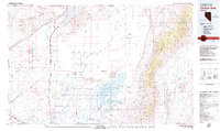 1979 Carson Sink1979 Print · USGSIn the late seventies, the Churchill County desert shows a landscape shaped by ancient lakebeds and Cold War military needs. Researchers can trace the Southern Pacific rail line past remote outposts like Jessup and historic sites such as the Lovelock Indian Caves.2 unique versions available
 - 1979 Map of Fallon, 1980 Print
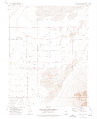
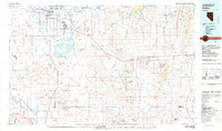 1979 Fallon1980 Print · USGSIn the Great Basin during the late seventies, the agricultural life of the Lahontan Valley meets a sprawling landscape of naval reservations and desert ranges. Genealogists and researchers can locate remote outposts like Frenchman, industrial sites at the Summit King Mine, and the historic Southern Pacific rail line.2 unique versions available
 - 1979 Map of Fourmile Canyon, 1980 Print
 1979 Fourmile Canyon1980 Print · USGSChurchill County is mapped here in the late seventies as a landscape of alkali flats and industrial research sites. Researchers can find old mining operations like the Red Ant Mine alongside unique markers such as the Project Shoal Monument.
 - 1979 Map of Carson City, 1980 Print
 1979 Carson City1980 Print · USGSWestern Nevada in the late seventies reveals a landscape of historic mining districts and expanding mountain communities. Researchers can trace the Comstock Lode through Virginia City, locate the Stewart Indian School, or explore the shores of Lake Tahoe near Incline Village.2 unique versions available
End of results
Showing maps 1-20 of 20
Top cities of Churchill County
Frequently asked questions
- What are the different types of historical maps available for Churchill County?
- What is the oldest map of Churchill County?
- Where can I purchase historical maps of Churchill County for my home or office?
- Where can I download high-res historical maps of Churchill County?
- Are there historical topographic maps available for Churchill County?
- Is there historical aerial imagery available for Churchill County?
- Where are historical maps of Churchill County sourced from?