2020s Maps of Moapa Valley, Nevada
Explore 4 historic maps of Moapa Valley from the 2020s. These maps offer a rare glimpse into what life looked like during the 2020s — showing old roads, neighborhoods, homes, and landmarks that have changed or disappeared over time.
Whether you're researching your family's past, planning a metal detecting trip, or studying how Moapa Valley's landscape evolved across the 2020s, these high-resolution maps are a powerful tool for exploring the history of this region.
- Focus on a specific era: All maps on this page are from the 2020s, giving you a focused view of this time period.
- See what’s changed: Compare century-old streets, trails, and buildings to today's modern landscape using overlays and satellite layers.
- Research with precision: Use these maps for genealogy, historical research, land use analysis, or educational projects.
- View, download, or print: Maps are fully viewable online in high resolution, and can be downloaded or printed for your own records.
Start exploring Moapa Valley's history through authentic maps from the 2020s. This is your window into the past.
Moapa Valley, NV maps
(4)- 2021 Map of Moapa East, 2021 Print
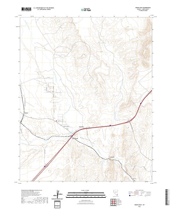 2021 Moapa East2021 Print · USGSThe Moapa Valley in the early 2020s shows a complex network of desert washes and modern settlements centered on the Muddy River. Trace the local geography from the streets of Moapa and Glendale to natural landmarks like The Narrows and Meadow Valley Wash.
 - 2021 Map of Weiser Ridge, 2021 Print
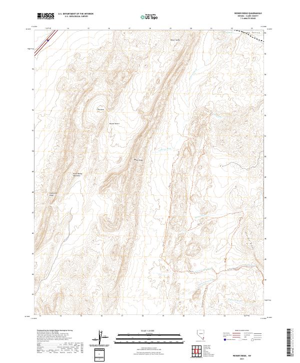 2021 Weiser Ridge2021 Print · USGSThe arid desert landscape of Clark County comes into focus in the early twenty-first century. Researchers and outdoor enthusiasts can trace the Main Trl through the North Muddy Mountains and follow the route of Bikepacking: The Plateau Passage Trl across Weiser Ridge.
 - 2021 Map of Overton NW, 2021 Print
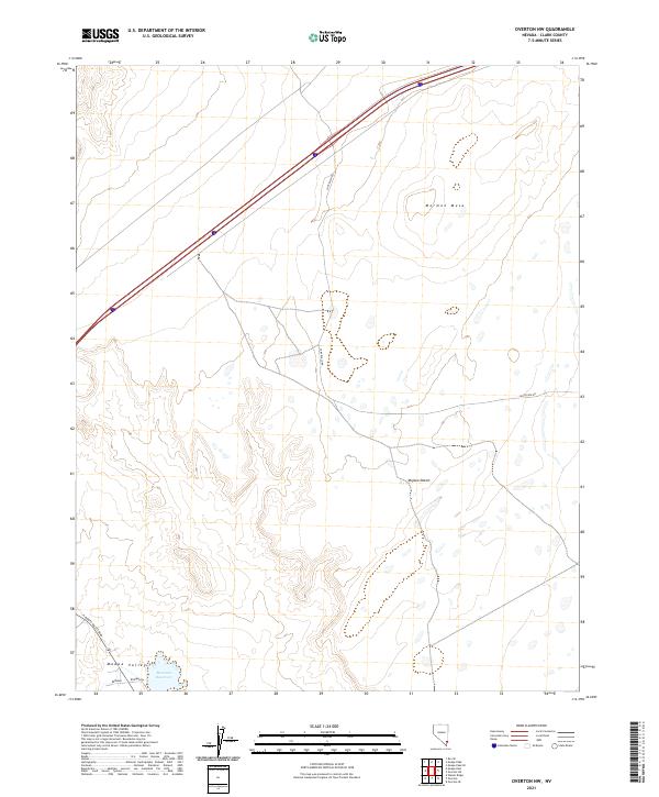 2021 Overton NW2021 Print · USGSThe Clark County desert as it appeared in the early 2020s shows a landscape of wide mesas and critical water management. You can trace the transition from Mormon Mesa down to the Moapa Valley near Bowman Reservoir.
 - 2021 Map of Overton, 2021 Print
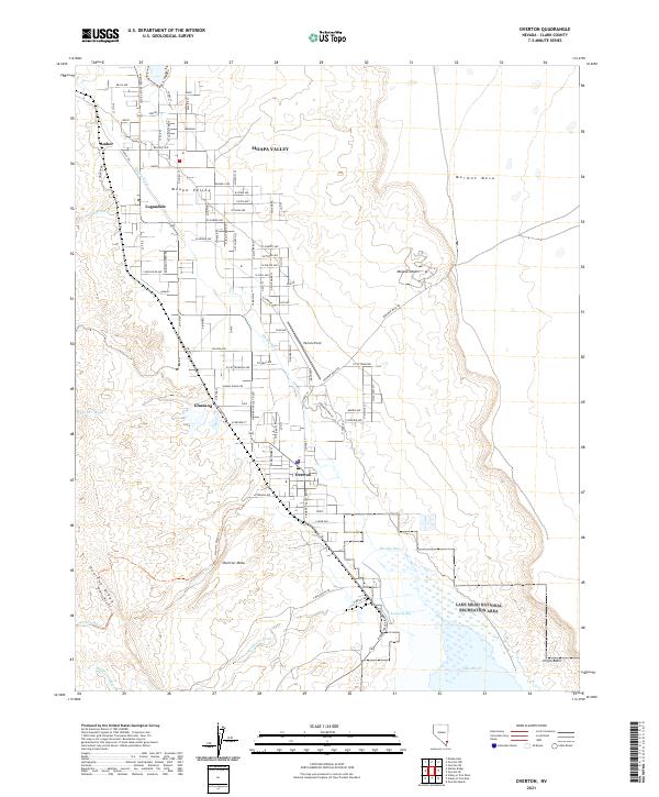 2021 Overton2021 Print · USGSMoapa Valley and its desert margins are shown in detail as the communities of Logandale and Overton thrive along the Muddy River in the early twenty-first century. Genealogists and local historians can trace residential developments and rural landmarks like Perkins Field and Overton Mesa.
End of results
Showing maps 1-4 of 4
Top cities near Moapa Valley
Top neighborhoods of Moapa Valley
Frequently asked questions
- What are the different types of historical maps available for Moapa Valley?
- What is the oldest map of Moapa Valley?
- Where can I purchase historical maps of Moapa Valley for my home or office?
- Where can I download high-res historical maps of Moapa Valley?
- Are there historical topographic maps available for Moapa Valley?
- Is there historical aerial imagery available for Moapa Valley?
- Where are historical maps of Moapa Valley sourced from?