Old Maps of Dinner Station, Nevada for Hiking & Exploration
Hike through history with 9 historic maps of Dinner Station. Explore old trails, ghost towns, and forgotten backroads — perfect for outdoor adventurers and local explorers.
- Rediscover forgotten places: Map out old mining camps, roads, and footpaths that no longer exist on modern maps.
- Layer with modern tools: Combine with LiDAR or satellite views to plan hikes through historical terrain.
- Made for exploration: Popular among hikers, overlanders, and local history lovers.
Use these maps to find adventure and explore the hidden past of Dinner Station.
Dinner Station, NV maps
(9)- 1955 Map of Wells, 1966 Print
 1955 Wells1966 Print · USGSNortheastern Nevada's high basin-and-range country is documented here in the mid-fifties, showing a landscape of remote ranching outposts and massive federal forest lands. Researchers can locate the early mining districts at Delano Mines and trace the paths of the Southern Pacific railroad through settlements like Deeth and Cobre.4 unique versions available
 - 1958 Map of Wells
 1958 Wells1958 Print · USGSNortheastern Nevada's high desert and mountain ranges are documented here in the late fifties as the regional rail and ranching economy thrived. Genealogists and historians can trace the paths of the Southern Pacific railroad to remote stations at Cobre and Metropolis, or locate the high-altitude Delno Mines.
 - 1961 Map of Wells
 1961 Wells1961 Print · USGSNortheastern Nevada's high basin and range country is captured here during the early sixties, showing the vital rail corridors and ranching outposts. Researchers can trace the heritage of remote settlements like Metropolis, locate the Delano Mines, and follow the path of the Southern Pacific through the Pequop Mountains.
 - 1971 Map of Dinner Station, 1974 Print
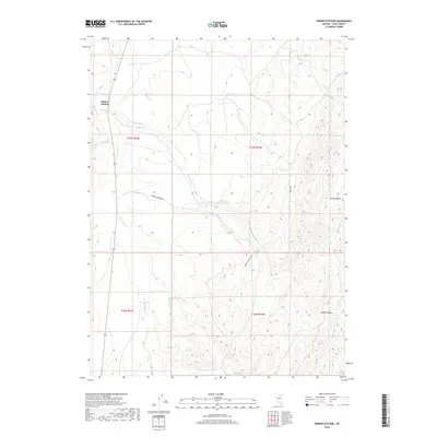
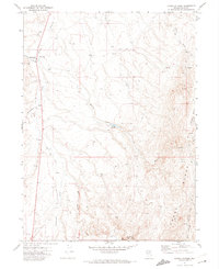 1971 Dinner Station1974 Print · USGSNorthern Nevada ranching country is documented here in the early seventies, centered on the high terrain of the Adobe Range. Researchers can trace old stock routes and remote outposts like Dinner Station, Dorsey Reservoir, and the Corral.
 - 1981 Map of Double Mtn, 1982 Print
 1981 Double Mtn1982 Print · USGSElko County in the early eighties shows a high-desert landscape shaped by the Southern Pacific rail corridor and the basins of the Humboldt River. Genealogists and historians can trace the foundations of Metropolis or locate rural landmarks like Deeth, Welcome, and the Coal Mine in the Adobe Range.2 unique versions available
 - 2012 Map of Dinner Station, 2012 Print
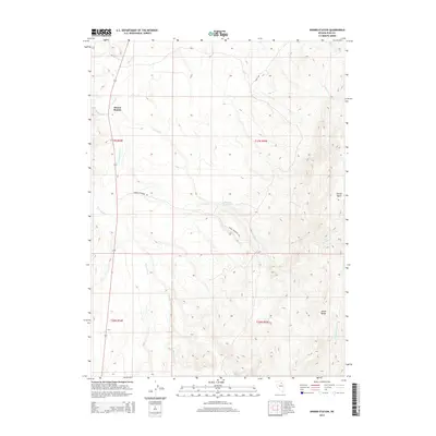
 2012 Dinner Station2012 Print · USGSCovers Dinner Station, including Elko County, United States, and other nearby areas
 - 2014 Map of Dinner Station, 2014 Print
 2014 Dinner Station2014 Print · USGSCovers Dinner Station, including Elko County, United States, and other nearby areas
 - 2018 Map of Dinner Station, 2018 Print
 2018 Dinner Station2018 Print · USGSCovers Dinner Station, including Elko County, United States, and other nearby areas
 - 2021 Map of Dinner Station, 2021 Print
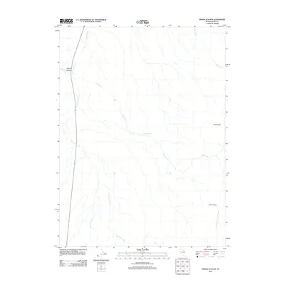
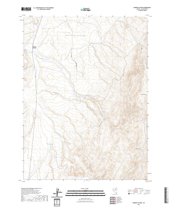 2021 Dinner Station2021 Print · USGSNorthern Nevada ranching country near the Adobe Range is captured here in the early twenty-first century. Genealogists and local historians can trace family-named landmarks like Dinner Station and remote water sources including Mud Spring.
End of results
Showing maps 1-9 of 9
Top cities near Dinner Station
Frequently asked questions
- What are the different types of historical maps available for Dinner Station?
- What is the oldest map of Dinner Station?
- Where can I purchase historical maps of Dinner Station for my home or office?
- Where can I download high-res historical maps of Dinner Station?
- Are there historical topographic maps available for Dinner Station?
- Is there historical aerial imagery available for Dinner Station?
- Where are historical maps of Dinner Station sourced from?