Old Maps of Jackpot, Nevada for Hiking & Exploration
Hike through history with 10 historic maps of Jackpot. Explore old trails, ghost towns, and forgotten backroads — perfect for outdoor adventurers and local explorers.
- Rediscover forgotten places: Map out old mining camps, roads, and footpaths that no longer exist on modern maps.
- Layer with modern tools: Combine with LiDAR or satellite views to plan hikes through historical terrain.
- Made for exploration: Popular among hikers, overlanders, and local history lovers.
Use these maps to find adventure and explore the hidden past of Jackpot.
Jackpot, NV maps
(10)- 1955 Map of Wells, 1966 Print
 1955 Wells1966 Print · USGSNortheastern Nevada's high basin-and-range country is documented here in the mid-fifties, showing a landscape of remote ranching outposts and massive federal forest lands. Researchers can locate the early mining districts at Delano Mines and trace the paths of the Southern Pacific railroad through settlements like Deeth and Cobre.4 unique versions available
 - 1957 Map of Delaplain, 1960 Print
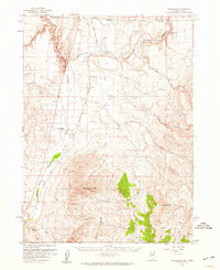 1957 Delaplain1960 Print · USGSThe Nevada-Idaho borderlands come into focus during the late 1950s, showing the early footprints of ranching and transit in Elko County. Genealogists and researchers can trace the historic San Jacinto Ranch, the rail stop at Idavada, and the waters of Shoshone Warm Springs.2 unique versions available
 - 1958 Map of Wells
 1958 Wells1958 Print · USGSNortheastern Nevada's high desert and mountain ranges are documented here in the late fifties as the regional rail and ranching economy thrived. Genealogists and historians can trace the paths of the Southern Pacific railroad to remote stations at Cobre and Metropolis, or locate the high-altitude Delno Mines.
 - 1961 Map of Wells
 1961 Wells1961 Print · USGSNortheastern Nevada's high basin and range country is captured here during the early sixties, showing the vital rail corridors and ranching outposts. Researchers can trace the heritage of remote settlements like Metropolis, locate the Delano Mines, and follow the path of the Southern Pacific through the Pequop Mountains.
 - 1982 Map of Jackpot
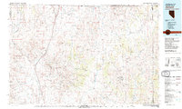 1982 Jackpot1982 Print · USGSThe high desert borderlands of Nevada, Idaho, and Utah are captured here in the early eighties as a hub of mining and transport. Researchers can locate remote operations like Gold Note Mine and trace the Union Pacific line past Delaplain.
 - 1989 Map of Jackpot
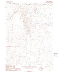 1989 Jackpot1989 Print · USGSJackpot straddles the Idaho-Nevada line in the late eighties, functioning as a vital border crossing and recreational hub. You can trace the Old Railroad Grade through the desert or locate local landmarks like the Rodeo Ground, Delaplain, and Jackpot Airport.
 - 2012 Map of Jackpot, 2012 Print
 2012 Jackpot2012 Print · USGSCovers Jackpot, including Twin Falls County, Elko County, and other nearby areas
 - 2014 Map of Jackpot, 2014 Print
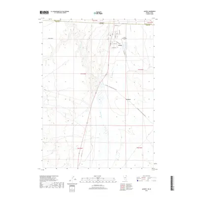
 2014 Jackpot2014 Print · USGSCovers Jackpot, including Twin Falls County, Elko County, and other nearby areas
 - 2018 Map of Jackpot, 2018 Print
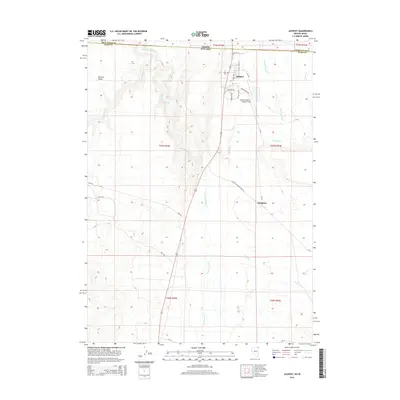
 2018 Jackpot2018 Print · USGSCovers Jackpot, including Twin Falls County, Elko County, and other nearby areas
 - 2021 Map of Jackpot, 2021 Print
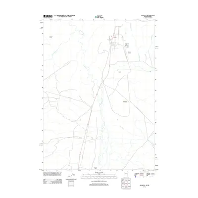
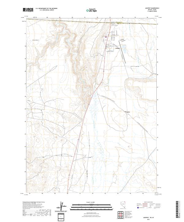 2021 Jackpot2021 Print · USGSThe border town of Jackpot and the surrounding high desert are documented here during the early twenty-first century. Genealogists and historians can trace the California Trail route or locate the ranching outpost of Delaplain near Salmon Falls Cr.
End of results
Showing maps 1-10 of 10
Frequently asked questions
- What are the different types of historical maps available for Jackpot?
- What is the oldest map of Jackpot?
- Where can I purchase historical maps of Jackpot for my home or office?
- Where can I download high-res historical maps of Jackpot?
- Are there historical topographic maps available for Jackpot?
- Is there historical aerial imagery available for Jackpot?
- Where are historical maps of Jackpot sourced from?