
1955 Map of Wells
USGS Topo · Published 1966About this map
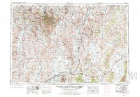
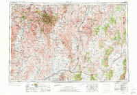
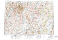
The Humboldt National Forest dominates this mid-century look at northeastern Nevada, where the high-altitude landscape is defined by the Jarbidge Mountains and the Independence Mountains. The era's transportation infrastructure is clearly visible, with U S 40 and U S 93 providing primary passage across the basin-and-range terrain, while the Southern Pacific and Western Pacific railroads facilitate regional transit.
Find a feature on this map
66 named features on this map. Tap any name to fly to it.
Don’t see what you’re looking for? This feature index may not catch every label — zoom into the map to look around manually.
Map Details
Editions of this 1955 Wells Map
4 editions found
Other maps of this area

1935 · Halleck
USGS Topo · 1:125,000

1935 · Charleston
USGS Topo · 1:48,000

1936 · Mountain City
USGS Topo · 1:62,500

1936 · Rowland
USGS Topo · 1:48,000

1939 · Owyhee
USGS Topo · 1:62,500

1940 · Rowland
USGS Topo · 1:62,500

1940 · Mountain City
USGS Topo · 1:62,500

1942 · Owyhee
USGS Topo · 1:62,500

1942 · Mt. Velma
USGS Topo · 1:62,500

1943 · Jarbidge
USGS Topo · 1:62,500