Old Maps of Jarbidge, Nevada for Genealogy
Trace your family roots with 11 historic maps of Jarbidge. These high-res maps reveal old neighborhoods, homesites, landmarks, and streets — helping you uncover where your ancestors lived and how the area evolved over time.
- Explore historic neighborhoods: Identify where your relatives may have lived in the 1800s or 1900s.
- Compare maps over time: Trace the changes in streets, buildings, and landmarks for multi-generational research.
- Perfect for genealogy & ancestry research: Used by family historians and researchers to map out lineage and migration.
These maps are an incredible resource for exploring your personal connection to Jarbidge's past.
Jarbidge, NV maps
(11)- 1943 Map of Jarbidge, 1954 Print
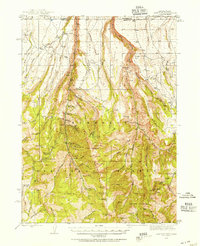 1943 Jarbidge1954 Print · USGSThe Jarbidge mining district in northern Elko County was still a remote outpost of industry and ranching in the 1940s. Genealogists and historians can trace the locations of the Altitude Mine, family operations at Larios Ranch, and the Mahoney Ranger Sta.3 unique versions available
 - 1945 Map of Jarbidge
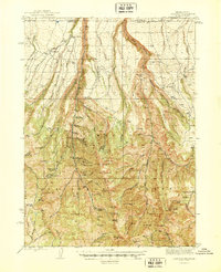 1945 Jarbidge1945 Print · USGSElko County, Nevada, during the mid-1940s reveals a high-country mining district centered on the town of Jarbidge. Researchers can trace the legacy of gold and silver extraction at the Success Mine or locate family-named sites like Larios Ranch.2 unique versions available
 - 1955 Map of Wells, 1966 Print
 1955 Wells1966 Print · USGSNortheastern Nevada's high basin-and-range country is documented here in the mid-fifties, showing a landscape of remote ranching outposts and massive federal forest lands. Researchers can locate the early mining districts at Delano Mines and trace the paths of the Southern Pacific railroad through settlements like Deeth and Cobre.4 unique versions available
 - 1958 Map of Wells
 1958 Wells1958 Print · USGSNortheastern Nevada's high desert and mountain ranges are documented here in the late fifties as the regional rail and ranching economy thrived. Genealogists and historians can trace the paths of the Southern Pacific railroad to remote stations at Cobre and Metropolis, or locate the high-altitude Delno Mines.
 - 1961 Map of Wells
 1961 Wells1961 Print · USGSNortheastern Nevada's high basin and range country is captured here during the early sixties, showing the vital rail corridors and ranching outposts. Researchers can trace the heritage of remote settlements like Metropolis, locate the Delano Mines, and follow the path of the Southern Pacific through the Pequop Mountains.
 - 1981 Map of Jarbidge Mts
 1981 Jarbidge Mts1981 Print · USGSThe high desert and mountain peaks of northern Elko County are captured here in the early eighties. Researchers can trace remote settlements like Jarbidge, identify mining sites such as the Rio Tinto Mine, and locate the Gold Creek Ranger Sta.3 unique versions available
 - 1986 Map of Jarbidge South, 1987 Print
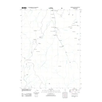
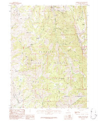 1986 Jarbidge South1987 Print · USGSElko County’s high-country mining and wilderness are captured here during the 1980s. Local researchers and hikers can trace the paths to the Elcoro Mine, locate Jarbidge Peak, or follow the Pack Trail through the Jarbidge Wilderness.2 unique versions available
 - 2012 Map of Jarbidge South, 2012 Print
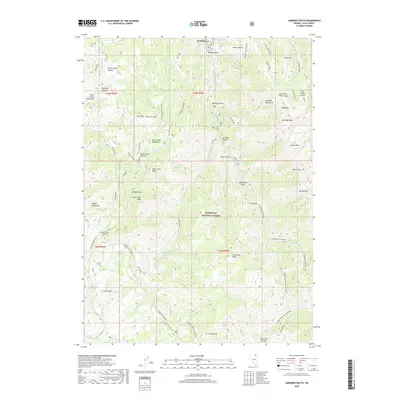
 2012 Jarbidge South2012 Print · USGSCovers Jarbidge, including Elko County, United States, and other nearby areas
 - 2015 Map of Jarbidge South, 2015 Print
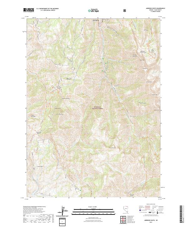
 2015 Jarbidge South2015 Print · USGSCovers Jarbidge, including Elko County, United States, and other nearby areas
 - 2018 Map of Jarbidge South, 2018 Print
 2018 Jarbidge South2018 Print · USGSCovers Jarbidge, including Elko County, United States, and other nearby areas
 - 2021 Map of Jarbidge South, 2021 Print
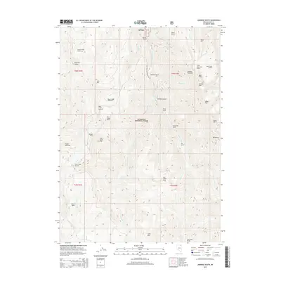
 2021 Jarbidge South2021 Print · USGSElko County's high wilderness is documented here as it appeared in recent years, centered on the Jarbidge settlement. Researchers can trace historic mountain access via the Bluster Mine and high-country routes like the Charleston-Jarbidge road and Coon Creek Trail.
End of results
Showing maps 1-11 of 11
Frequently asked questions
- What are the different types of historical maps available for Jarbidge?
- What is the oldest map of Jarbidge?
- Where can I purchase historical maps of Jarbidge for my home or office?
- Where can I download high-res historical maps of Jarbidge?
- Are there historical topographic maps available for Jarbidge?
- Is there historical aerial imagery available for Jarbidge?
- Where are historical maps of Jarbidge sourced from?