Old Maps of Taylor Canyon, Nevada for Academic Research
Study the evolution of Taylor Canyon with 9 high-resolution historic maps. Whether you're teaching, researching, or modeling changes in land use, these maps provide essential visual documentation of urban, environmental, and geographic change.
- Analyze long-term change: Track patterns in development, transportation, and natural features.
- Ideal for environmental or urban studies: Support academic projects with primary historical map data.
- Use in the classroom or lab: Educators and researchers rely on these maps to bring historical context to life.
These maps are a powerful tool for teaching, research, and visualizing how Taylor Canyon has changed over the decades.
Taylor Canyon, NV maps
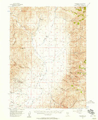
(9)- 1955 Map of McDermitt
 1955 McDermitt1955 Print · USGSNorthern Nevada in the mid-fifties shows a landscape of mining camps and vast cattle ranges. Trace the early footprints of Tuscarora or the remote Cordero Mine and National Mine tucked into the high desert peaks.3 unique versions available
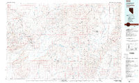
 - 1956 Map of Tuscarora, 1958 Print
 1956 Tuscarora1958 Print · USGSElko County’s high desert and mining country are captured here in the mid-1950s, showing the intersection of ranching and hard-rock mining. You can trace the proximity of the Tuscarora settlement to historical workings like the Grand Prize Mine and Spanish Ranch.3 unique versions available
 - 1959 Map of McDermitt
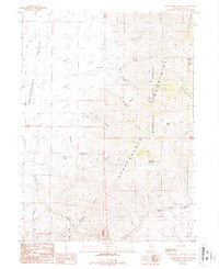
 1959 McDermitt1959 Print · USGSThe high-desert borderlands of northern Nevada and southern Oregon are captured here in the late fifties. Researchers can trace historic mining operations at the Cordero Mine and Getchell Mine, or locate settlements like Paradise Valley and Tuscarora.2 unique versions available
 - 1982 Map of Tuscarora, 1983 Print
 1982 Tuscarora1983 Print · USGSNortheastern Nevada in the early eighties reveals a landscape shaped by mining and high-desert hydrology. Trace the locations of historic extraction sites like Silver Cloud Mine or the Falcon Mines and find remote landmarks such as Hot Sulphur Springs.
 - 1987 Map of Water Pipe Canyon
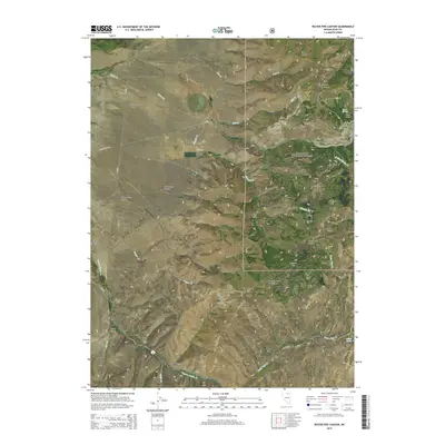
 1987 Water Pipe Canyon1987 Print · USGSNortheastern Nevada's high-country terrain is captured here in the late eighties, showing a rugged landscape defined by the Independence Mountains. Researchers can locate old mining signs like an Adit and Mill, alongside remote landmarks such as Happy Camp and Starvation Canyon.
 - 2012 Map of Water Pipe Canyon, 2012 Print
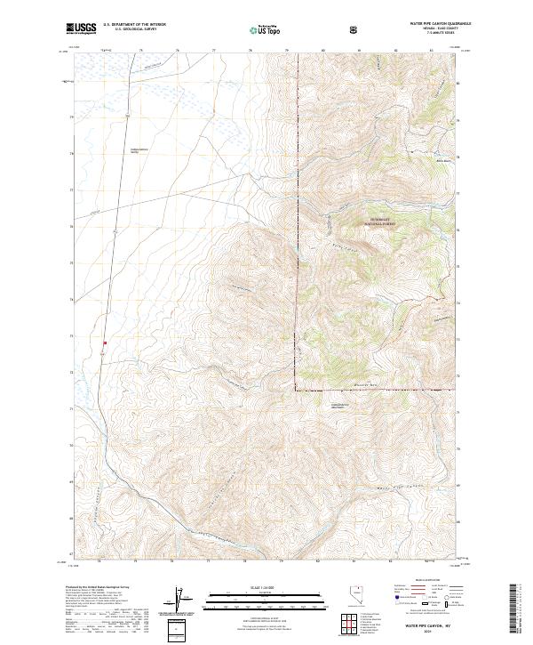
 2012 Water Pipe Canyon2012 Print · USGSCovers Taylor Canyon, including Elko County, United States, and other nearby areas
 - 2015 Map of Water Pipe Canyon, 2015 Print
 2015 Water Pipe Canyon2015 Print · USGSCovers Taylor Canyon, including Elko County, United States, and other nearby areas
 - 2018 Map of Water Pipe Canyon, 2018 Print
 2018 Water Pipe Canyon2018 Print · USGSCovers Taylor Canyon, including Elko County, United States, and other nearby areas
 - 2021 Map of Water Pipe Canyon, 2021 Print
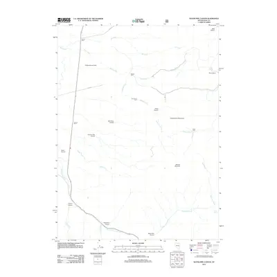
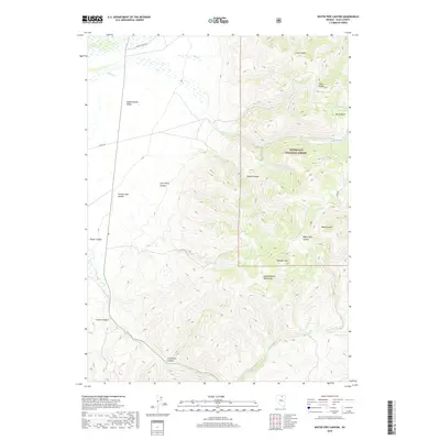
 2021 Water Pipe Canyon2021 Print · USGSElko County’s high-desert peaks and valley floors are captured in this recent survey of the Independence Mountains. Researchers can trace old cattle and ranching routes such as Wright Ranch Rd or locate remote water sources like Willow Spring and Barry Spring.
End of results
Showing maps 1-9 of 9
Frequently asked questions
- What are the different types of historical maps available for Taylor Canyon?
- What is the oldest map of Taylor Canyon?
- Where can I purchase historical maps of Taylor Canyon for my home or office?
- Where can I download high-res historical maps of Taylor Canyon?
- Are there historical topographic maps available for Taylor Canyon?
- Is there historical aerial imagery available for Taylor Canyon?
- Where are historical maps of Taylor Canyon sourced from?