Old Maps of Paradise Hill, Nevada for Genealogy
Trace your family roots with 11 historic maps of Paradise Hill. These high-res maps reveal old neighborhoods, homesites, landmarks, and streets — helping you uncover where your ancestors lived and how the area evolved over time.
- Explore historic neighborhoods: Identify where your relatives may have lived in the 1800s or 1900s.
- Compare maps over time: Trace the changes in streets, buildings, and landmarks for multi-generational research.
- Perfect for genealogy & ancestry research: Used by family historians and researchers to map out lineage and migration.
These maps are an incredible resource for exploring your personal connection to Paradise Hill's past.
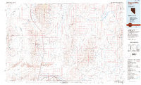
Paradise Hill, NV maps
(11)- 1882 Map of Paradise
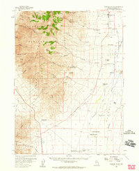
 1882 Paradise1882 Print · USGSHumboldt County in the early 1880s remains a frontier landscape of isolated stage stations and high mountain peaks. Genealogists and researchers can trace the early transit network between Paradise City and remote stops like Cane Springs Station and Flynn Station.
 - 1893 Map of Paradise
 1893 Paradise1893 Print · USGSHumboldt County was a landscape of remote outposts and high-desert ranges in the late nineteenth century. Researchers can trace the early stage and freight routes connecting Paradise City to vital waystations such as Cane Springs Station and Willow Point Station.6 unique versions available
 - 1955 Map of McDermitt
 1955 McDermitt1955 Print · USGSNorthern Nevada in the mid-fifties shows a landscape of mining camps and vast cattle ranges. Trace the early footprints of Tuscarora or the remote Cordero Mine and National Mine tucked into the high desert peaks.3 unique versions available
 - 1958 Map of Paradise Valley, 1960 Print
 1958 Paradise Valley1960 Print · USGSRanching and high-desert peaks define the Nevada landscape in the late fifties, where the high Humboldt National Forest meets the valley floor. Genealogists and historians can trace family properties like Grayson Ranch or locate historical transit markers including Willow Point and Paradise Well.2 unique versions available
 - 1959 Map of McDermitt
 1959 McDermitt1959 Print · USGSThe high-desert borderlands of northern Nevada and southern Oregon are captured here in the late fifties. Researchers can trace historic mining operations at the Cordero Mine and Getchell Mine, or locate settlements like Paradise Valley and Tuscarora.2 unique versions available
 - 1985 Map of Osgood Mts
 1985 Osgood Mts1985 Print · USGSHumboldt County in the mid-eighties was a hub of high-desert mining and remote ranching outposts. Trace the industrial footprint of the Getchell Mine, locate historic settlements like Amos, and follow the rail lines through Winnemucca.
 - 1988 Map of Paradise Well, 1989 Print
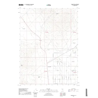
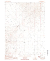 1988 Paradise Well1989 Print · USGSHumboldt County’s high desert comes into focus in the late eighties, showing the remote crossroads of the Santa Rosa Range. Researchers can trace the layout of Paradise Hill and locate mining features like an Adit and various Prospects.
 - 2011 Map of Paradise Well, 2011 Print
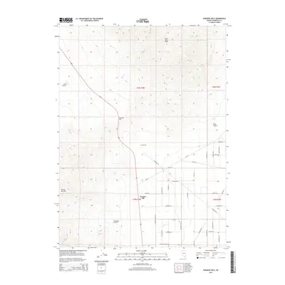
 2011 Paradise Well2011 Print · USGSCovers Paradise Hill, including Humboldt County, United States, and other nearby areas
 - 2015 Map of Paradise Well, 2015 Print
 2015 Paradise Well2015 Print · USGSCovers Paradise Hill, including Humboldt County, United States, and other nearby areas
 - 2018 Map of Paradise Well, 2018 Print
 2018 Paradise Well2018 Print · USGSCovers Paradise Hill, including Humboldt County, United States, and other nearby areas
 - 2021 Map of Paradise Well, 2021 Print
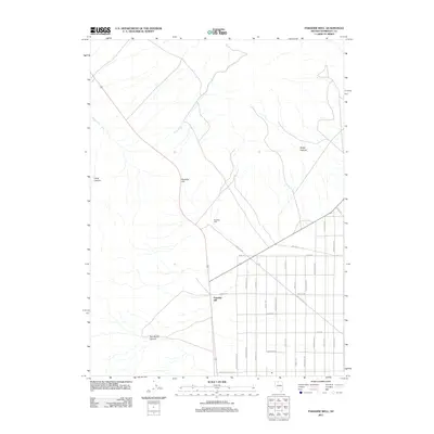
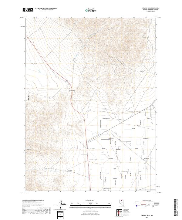 2021 Paradise Well2021 Print · USGSIn the high desert of northern Nevada, this contemporary survey captures the crossroads of Paradise Hill as it meets the valley floor. Genealogists and locals can trace modern land tracts and rural routes like Godchaux Rd and Paradise Ranchos Dr.
End of results
Showing maps 1-11 of 11
Top cities near Paradise Hill
Frequently asked questions
- What are the different types of historical maps available for Paradise Hill?
- What is the oldest map of Paradise Hill?
- Where can I purchase historical maps of Paradise Hill for my home or office?
- Where can I download high-res historical maps of Paradise Hill?
- Are there historical topographic maps available for Paradise Hill?
- Is there historical aerial imagery available for Paradise Hill?
- Where are historical maps of Paradise Hill sourced from?