Old Maps of Summit Lake, Nevada for Metal Detecting
Plan your next treasure hunt with 11 historic maps of Summit Lake. Find old homesites, ghost towns, trails, and gathering spots that may be lost to time — perfect for identifying promising metal detecting locations.
- Locate forgotten sites: Uncover places like long-lost settlements, abandoned rail lines, or gathering spots.
- Plan better hunts: Use map overlays combined with LiDAR or satellite views to narrow in on historically rich areas.
- Made for detectorists: Thousands of hobbyists use these maps to discover relics, coins, and hidden history.
Use these historic maps to boost your research and find new opportunities beneath the surface of Summit Lake.
Summit Lake, NV maps
(11)- 1889 Map of Long Valley
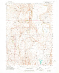
 1889 Long Valley1889 Print · USGSNorthwestern Nevada was a land of high desert springs and remote outposts in the late nineteenth century. Researchers can trace the legacy of early military presence at Camp McGarry or locate crucial water sources like Massacre Lakes and Soldier Meadows.
 - 1954 Map of Vya, 1967 Print
 1954 Vya1967 Print · USGSThe tri-state corner of Nevada, Oregon, and California appears here in the mid-fifties, dominated by wildlife refuges and massive naval gunnery ranges. Trace isolated high-desert outposts like Vya and Soldier Meadow Ranch or find historic workings at the Ashdown Mine.3 unique versions available
 - 1958 Map of Vya
 1958 Vya1958 Print · USGSNorthwest Nevada and the tri-state border region are mapped here during the mid-fifties, showing a remote landscape of high desert ranches and sprawling antelope range. Trace historic operations like the Ashdown Mine, find local camps like Coyote Camp, and locate isolated outposts from Vya to Denio.2 unique versions available
 - 1962 Map of Vya
 1962 Vya1962 Print · USGSThe Nevada and Oregon borderlands in the early sixties reveal a landscape of isolated ranching outposts and high-desert mining. Researchers can trace historic family holdings like the Denio Ranch or locate early mineral sites including the Mcadoo Mine and Iron King Mine.
 - 1965 Map of Rock Spring Table, 1968 Print
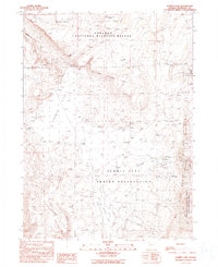
 1965 Rock Spring Table1968 Print · USGSHumboldt County ranching and military history are preserved here in the mid-1960s, centered on the high plateaus and lake basins. Researchers can find the site of Camp McGarry (Ruins), the Summit Lake Cem, and landmarks like Wilson Ranch.2 unique versions available
 - 1987 Map of Vya
 1987 Vya1987 Print · USGSThe high-desert tri-state border region of Nevada, Oregon, and California is captured here in the late 1980s. Researchers can trace remote desert outposts like Vya, the Virgin Mine, and the unique hydrologic features of Massacre Lake and Hanging Rock Canyon.2 unique versions available
 - 1990 Map of Summit Lake
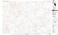
 1990 Summit Lake1990 Print · USGSRemote high-desert terrain in northern Nevada is captured here as it appeared in the late twentieth century, centered on the Summit Lake Indian Reservation. Local history and land use are revealed through the Camp McGarry (Historical Site), the Summit Lake Cem, and the Summit Lake Landing Strip.2 unique versions available
 - 2011 Map of Summit Lake, 2011 Print
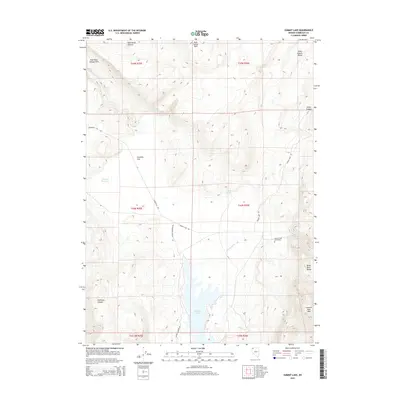
 2011 Summit Lake2011 Print · USGSCovers Summit Lake, including Humboldt County, United States, and other nearby areas
 - 2015 Map of Summit Lake, 2015 Print
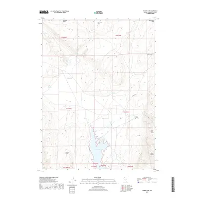
 2015 Summit Lake2015 Print · USGSCovers Summit Lake, including Humboldt County, United States, and other nearby areas
 - 2018 Map of Summit Lake, 2018 Print
 2018 Summit Lake2018 Print · USGSCovers Summit Lake, including Humboldt County, United States, and other nearby areas
 - 2021 Map of Summit Lake, 2021 Print
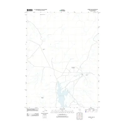
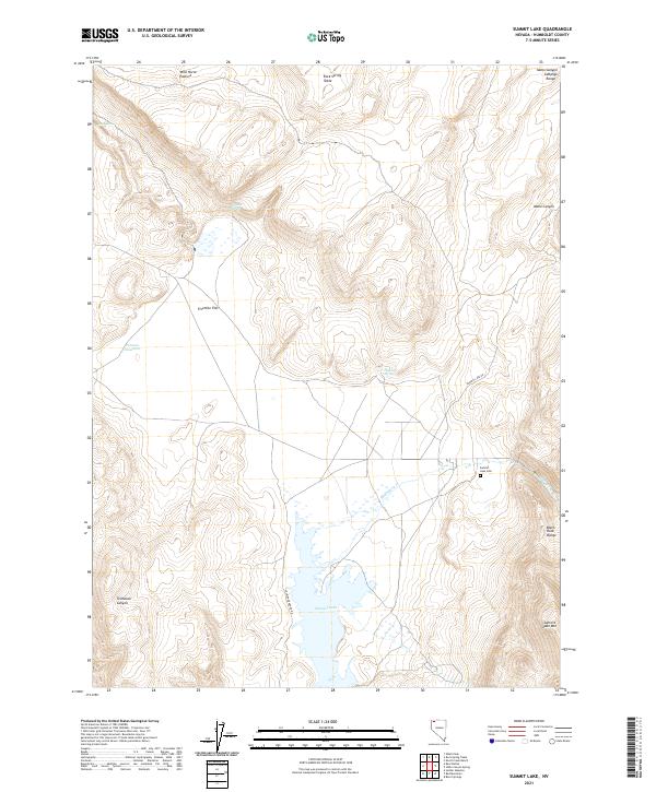 2021 Summit Lake2021 Print · USGSHumboldt County’s high-desert landscape is captured here in the early twenty-first century, centered on the vital waters of Summit Lake. Researchers can locate the Summit Lake Cem and trace seasonal water sources like Mahogany Cr and Perry Spring.
End of results
Showing maps 1-11 of 11
Frequently asked questions
- What are the different types of historical maps available for Summit Lake?
- What is the oldest map of Summit Lake?
- Where can I purchase historical maps of Summit Lake for my home or office?
- Where can I download high-res historical maps of Summit Lake?
- Are there historical topographic maps available for Summit Lake?
- Is there historical aerial imagery available for Summit Lake?
- Where are historical maps of Summit Lake sourced from?