Old Maps of Sage Heights, Winnemucca for Hiking & Exploration
Hike through history with 13 historic maps of Sage Heights. Explore old trails, ghost towns, and forgotten backroads — perfect for outdoor adventurers and local explorers.
- Rediscover forgotten places: Map out old mining camps, roads, and footpaths that no longer exist on modern maps.
- Layer with modern tools: Combine with LiDAR or satellite views to plan hikes through historical terrain.
- Made for exploration: Popular among hikers, overlanders, and local history lovers.
Use these maps to find adventure and explore the hidden past of Sage Heights.
Sage Heights, Winnemucca maps
(13)- 1932 Map of Sonoma Range, 1955 Print
 1932 Sonoma Range1955 Print · USGSNorthern Nevada in the early thirties is captured here along the Humboldt River and its flanking desert ranges. Genealogists and historians can trace numerous family-named landmarks like Prida Ranch and Childress Ranch, or locate the Site of Old Indian Fort and Barber Sch.5 unique versions available
 - 1939 Map of Sonoma Range
 1939 Sonoma Range1939 Print · USGSHigh-desert ranching and deep-earth mining define this Nevada landscape during the late thirties. Researchers can trace historical family holdings like Seven Devils Ranch, early educational sites such as Pearce Sch, and industrial landmarks including the Copper Canyon Mine.5 unique versions available
 - 1955 Map of Winnemucca, 1968 Print
 1955 Winnemucca1968 Print · USGSNorthern Nevada's high desert corridor is captured here in the mid-fifties, centered on the river-and-rail hub of Winnemucca. Researchers can trace the dual tracks of the Southern Pacific and Western Pacific railroads through towns like Golconda and Valmy.3 unique versions available
 - 1958 Map of Winnemucca
 1958 Winnemucca1958 Print · USGSNorthern Nevada in the late fifties was defined by the parallel rhythms of the great transcontinental railroads and a resilient mining industry. Genealogists and historians can trace old mining camps and remote rail sidings from Gold Acres and Palisade to the Adelaide district.2 unique versions available
 - 1958 Map of Winnemucca, 1960 Print
 1958 Winnemucca1960 Print · USGSWinnemucca and the high peaks of the Sonoma Range are captured here in the late fifties, during a period of steady growth for this railroad crossroads. Researchers can trace the dual tracks of the Southern Pacific and Western Pacific or locate historic mining sites like Adelaide and the Harmony Mine.3 unique versions available
 - 1962 Map of Winnemucca
 1962 Winnemucca1962 Print · USGSNorthern Nevada's high desert comes alive in the mid-1950s as a vital transportation and mining corridor following the Humboldt River. Trace the early rail-and-ranch economy through stops like Palisade, find old workings at the Adelaide Mine, and see the layout of Winnemucca before the interstate era.
 - 1975 Map of Winnemucca NW, 1980 Print
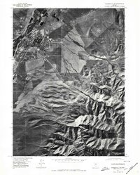 1975 Winnemucca NW1980 Print · USGSThe high desert landscape of Winnemucca during the mid-1970s comes to life in this aerial orthophotoquad. Researchers can examine the town's expansion toward the Sonoma Range and trace geographic landmarks like Water Canyon and Thomas Creek.
 - 1983 Map of Winnemucca East
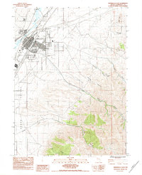 1983 Winnemucca East1983 Print · USGSWinnemucca thrived as a desert crossroads in the early eighties, where the river and rail lines met the high mountains. Trace local history through the Wentz Cem, the Winnemucca Indian Colony, and the mining legacy at Harmony Mine.
 - 1986 Map of Winnemucca
 1986 Winnemucca1986 Print · USGSNorthern Nevada in the mid-eighties shows a landscape of deep basins and mountain-bound mines connected by the heavy rail corridors of the Humboldt River valley. Trace the legacy of extraction at the Adelaide Mine or explore the transit hubs of Winnemucca and Golconda.
 - 2011 Map of Winnemucca East, 2011 Print
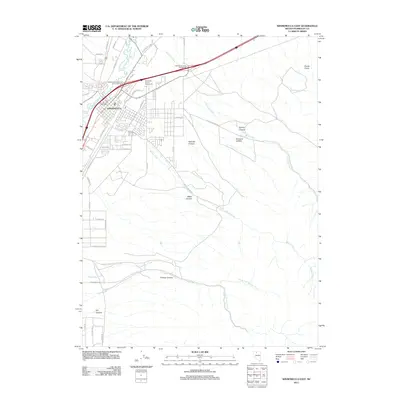 2011 Winnemucca East2011 Print · USGSWinnemucca enters the twenty-first century as a vital Nevada hub where the desert landscape meets modern infrastructure. Trace the city's eastern growth near the Humboldt River or explore landmarks like Giants Grave and the Humboldt County Fairgrounds.
 - 2014 Map of Winnemucca East, 2014 Print
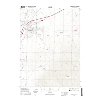 2014 Winnemucca East2014 Print · USGSWinnemucca stands as a gateway to the High Desert in the mid-2010s, where the city's grid meets the rising slopes of the Sonoma Range. Researchers can trace the drainage of the Humboldt River and locate local landmarks like Giants Grave Spring and Water Canyon.
 - 2018 Map of Winnemucca East, 2018 Print
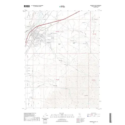 2018 Winnemucca East2018 Print · USGSWinnemucca and the high desert slopes of the Sonoma Range are captured here in the modern era. Trace the growth of the local street grid near Great Basin College and explore the surrounding terrain through landmarks like The Bloody Shins and Water Canyon.
 - 2021 Map of Winnemucca East, 2021 Print
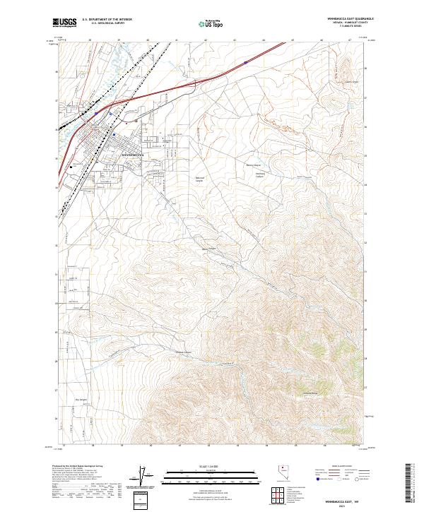 2021 Winnemucca East2021 Print · USGSThe high-desert hub of Winnemucca and the neighboring Sonoma Range are captured here in the early twenty-first century. Researchers can trace the city's civic foundations at the Humboldt County Courthouse or locate family sites at the Winnemucca Cem.
End of results
Showing maps 1-13 of 13
Frequently asked questions
- What are the different types of historical maps available for Sage Heights?
- What is the oldest map of Sage Heights?
- Where can I purchase historical maps of Sage Heights for my home or office?
- Where can I download high-res historical maps of Sage Heights?
- Are there historical topographic maps available for Sage Heights?
- Is there historical aerial imagery available for Sage Heights?
- Where are historical maps of Sage Heights sourced from?