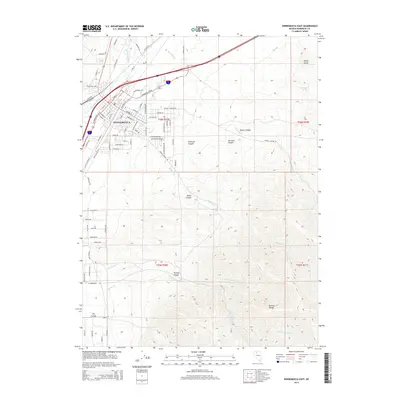
2014 Map of Winnemucca East
USGS Topo · Published 2014About this map
The high-desert city of Winnemucca serves as the focal point of this Nevada quadrangle, situated where the Humboldt River curves through the Great Basin. The grid of the city is well-defined, showing residential expansion and industrial corridors alongside Fairgrounds Rd. This area highlights the transition from urban settlement to the dramatic topography of the Sonoma Range to the southeast, where numerous canyons like Water Canyon and Thomas Canyon drain toward the river valley.
Find a feature on this map
90 named features on this map. Tap any name to fly to it.
Don’t see what you’re looking for? This feature index may not catch every label — zoom into the map to look around manually.
Map Details
Editions of this 2014 Winnemucca East Map
This is the sole edition of this map. No revisions or reprints were ever made.
Other maps of this area

1882 · Paradise
USGS Topo · 1:250,000

1893 · Paradise
USGS Topo · 1:250,000

1932 · Sonoma Range
USGS Topo · 1:250,000

1939 · Sonoma Range
USGS Topo · 1:250,000

1955 · McDermitt
USGS Topo · 1:250,000

1955 · Winnemucca
USGS Topo · 1:250,000

1958 · Winnemucca
USGS Topo · 1:250,000

1958 · Winnemucca
USGS Topo · 1:62,500

1958 · Rose Creek
USGS Topo · 1:62,500

1959 · McDermitt
USGS Topo · 1:250,000