Old Maps of Austin, Nevada for Academic Research
Study the evolution of Austin with 9 high-resolution historic maps. Whether you're teaching, researching, or modeling changes in land use, these maps provide essential visual documentation of urban, environmental, and geographic change.
- Analyze long-term change: Track patterns in development, transportation, and natural features.
- Ideal for environmental or urban studies: Support academic projects with primary historical map data.
- Use in the classroom or lab: Educators and researchers rely on these maps to bring historical context to life.
These maps are a powerful tool for teaching, research, and visualizing how Austin has changed over the decades.
Austin, NV maps
(9)- 1955 Map of Millett, 1963 Print
 1955 Millett1963 Print · USGSCentral Nevada in the mid-fifties is a landscape of high-desert basins and remote outposts. Researchers can trace historic ranching sites like Petersons Mill and Grass Valley Ranch or locate the McCoy Mining Camp.4 unique versions available
 - 1956 Map of Austin, 1958 Print
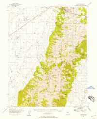 1956 Austin1958 Print · USGSThe mining town of Austin sits at the edge of the Toiyabe National Forest during the mid-fifties. Genealogists and historians can trace family-named properties like Gandolfo Ranch and local landmarks such as Stokes Castle.3 unique versions available
 - 1959 Map of Millett
 1959 Millett1959 Print · USGSThe high basins and ranges of central Nevada are captured here in the late fifties, showcasing a landscape of remote cattle ranches and high-altitude mining. Researchers can trace historic family holdings like McLeod Ranch or locate the McCoy Mining Camp and the Austin Summit mountain pass.2 unique versions available
 - 1985 Map of Smith Creek Valley
 1985 Smith Creek Valley1985 Print · USGSCentral Nevada in the mid-eighties shows a high-desert landscape of isolated mining sites and remote rangeland. Researchers can trace old operations like the Double Eagle Mine and Hasbrouck Mine or locate the Yomba Indian Reservation and Peterson Station.2 unique versions available
 - 1988 Map of Austin
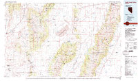
 1988 Austin1988 Print · USGSSilver mining history and Great Basin geography converge at Austin in the late eighties. Researchers can locate specific mine sites like the Jackpot Mine and Mizpah Mine, or trace the rugged trails leading past Stokes Castle into the Toiyabe National Forest.
 - 2012 Map of Austin, 2012 Print
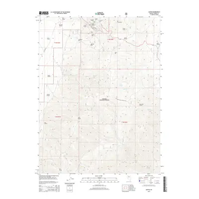
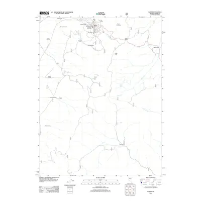 2012 Austin2012 Print · USGSCovers Austin, including Lander County, United States, and other nearby areas
 - 2014 Map of Austin, 2014 Print
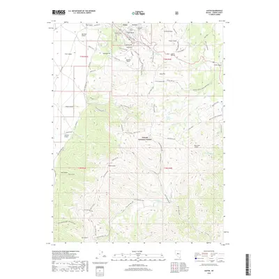
 2014 Austin2014 Print · USGSCovers Austin, including Lander County, United States, and other nearby areas
 - 2018 Map of Austin, 2018 Print
 2018 Austin2018 Print · USGSCovers Austin, including Lander County, United States, and other nearby areas
 - 2021 Map of Austin, 2021 Print
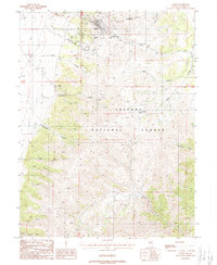
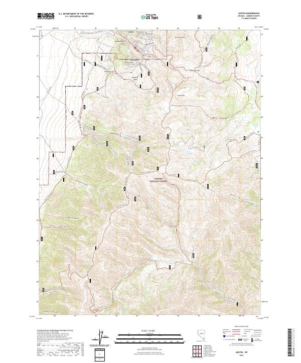 2021 Austin2021 Print · USGSThe historic mining town of Austin and the Toiyabe Range are captured here in the early twenty-first century. Researchers can trace the legacy of silver mining through landmarks like Stokes Castle and explore the rugged water sources at Marshall Falls and Skunk Cabbage Spring.
End of results
Showing maps 1-9 of 9
Frequently asked questions
- What are the different types of historical maps available for Austin?
- What is the oldest map of Austin?
- Where can I purchase historical maps of Austin for my home or office?
- Where can I download high-res historical maps of Austin?
- Are there historical topographic maps available for Austin?
- Is there historical aerial imagery available for Austin?
- Where are historical maps of Austin sourced from?