Old Maps of Fernley, Nevada for Metal Detecting
Plan your next treasure hunt with 32 historic maps of Fernley. Find old homesites, ghost towns, trails, and gathering spots that may be lost to time — perfect for identifying promising metal detecting locations.
- Locate forgotten sites: Uncover places like long-lost settlements, abandoned rail lines, or gathering spots.
- Plan better hunts: Use map overlays combined with LiDAR or satellite views to narrow in on historically rich areas.
- Made for detectorists: Thousands of hobbyists use these maps to discover relics, coins, and hidden history.
Use these historic maps to boost your research and find new opportunities beneath the surface of Fernley.
Fernley, NV maps
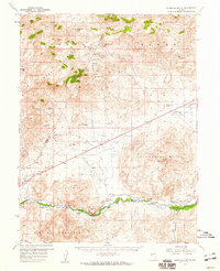
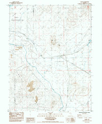
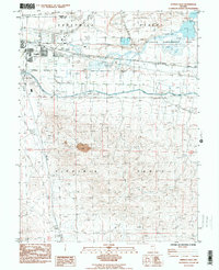
(32)- 1890 Map of Wadsworth, 1954 Print
 1890 Wadsworth1954 Print · USGSNorthern Nevada's high desert reveals its late 19th-century rail and water patterns along the border of Washoe and Churchill counties. Local historians can trace the route of the Central Pacific Railroad through Wadsworth or locate the site of the Eagle Salt Works and the Piute Indian Agency.
 - 1891 Map of Wabuska
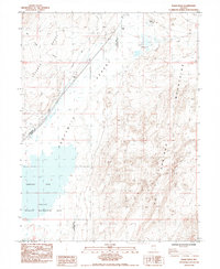
 1891 Wabuska1891 Print · USGSWestern Nevada’s high desert comes into focus in the 1890s, centering on the vital rail connection at Wabuska. Researchers can trace the early layout of Mason Valley and locate vanished station stops and landmarks like Stockton Well and Clifton.
 - 1892 Map of Wadsworth
 1892 Wadsworth1892 Print · USGSWestern Nevada at the close of the frontier era centers on the vital Truckee River corridor and the Central Pacific Railroad. Genealogists and historians can trace early settlements and infrastructure like the Piute Indian Agency, Eagle Salt Works, and the town of Wadsworth.
 - 1894 Map of Wadsworth
 1894 Wadsworth1894 Print · USGSWashoe and Churchill counties are captured in the 1890s at a critical junction of the transcontinental rail line and the Truckee River. Genealogists and historians can trace early Great Basin life through landmarks like the Piute Indian Agency, Wadsworth, and the Eagle Salt Works.5 unique versions available
 - 1894 Map of Wabuska
 1894 Wabuska1894 Print · USGSWestern Nevada at the close of the century shows a landscape of rail-connected outposts and river-fed valleys. Researchers can trace the early tracks of the Colorado River Railroad as it passes through Wabuska and the Walker Lake Indian Reservation.6 unique versions available
 - 1957 Map of Churchill Butte, 1959 Print
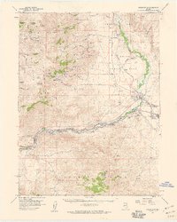
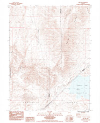
 1957 Churchill Butte1959 Print · USGSThe Carson River valley in the late fifties reveals a landscape of pioneer ruins and active mining. Trace the remnants of Fort Churchill near the Southern Pacific tracks or locate high-desert mines like the Ramsey Comstock Mine and Talapoosa.3 unique versions available
 - 1957 Map of Two Tips, 1959 Print
 1957 Two Tips1959 Print · USGSThe high-desert terrain of central Nevada is captured here during the late 1950s, showing a landscape shaped by rail and irrigation. Genealogists and historians can trace the Southern Pacific corridor through Hazen and Argo, or locate the abandoned salt evaporators and early prospects.2 unique versions available
 - 1957 Map of Wadsworth, 1959 Print
 1957 Wadsworth1959 Print · USGSThe Truckee River corridor comes alive in the late fifties as a vital artery for rail and water management. Genealogists and historians can trace the foundations of Wadsworth, locate cemeteries near the river, and explore remote mining sites like the Celetom Mine or Olinghouse.3 unique versions available
 - 1957 Map of Silver Springs, 1959 Print
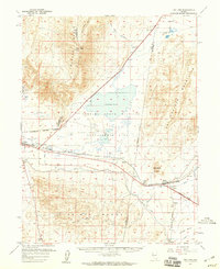
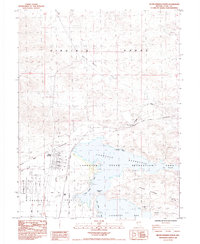
 1957 Silver Springs1959 Print · USGSSilver Springs and the surrounding basin are shown during a period of mid-century growth following the establishment of the Lahontan Reservoir. Researchers can trace early street layouts in Silver Springs, find old water sources like Hooten Well, and locate the Lahontan Dam and Churchill Landing Strip.3 unique versions available
 - 1957 Map of Reno, 1963 Print
 1957 Reno1963 Print · USGSWestern Nevada in the early sixties is a land of sprawling desert sinks and rising mountain ranges. Genealogists and historians can trace the rail-and-river network connecting Reno, the mining legacy of Rawhide Mine, and the boundaries of the Pyramid Lake Indian Reservation.5 unique versions available
 - 1959 Map of Reno
 1959 Reno1959 Print · USGSWestern Nevada in the late fifties was a land of expanding military airbases and high-desert irrigation projects. You can trace the lineage of the Comstock era through Carson City, locate the Pony Express Monument, or study the rail networks of the Southern Pacific RR.
 - 1960 Map of Reno
 1960 Reno1960 Print · USGSThe high desert of western Nevada comes alive in this mid-century survey of the Reno-Tahoe region. Genealogists and historians can trace rail lines like the Southern Pacific RR and locate remote outposts such as Olinghouse, Nixon, and the Olinghouse Mine.2 unique versions available
 - 1979 Map of Carson City, 1980 Print
 1979 Carson City1980 Print · USGSWestern Nevada in the late seventies reveals a landscape of historic mining districts and expanding mountain communities. Researchers can trace the Comstock Lode through Virginia City, locate the Stewart Indian School, or explore the shores of Lake Tahoe near Incline Village.2 unique versions available
 - 1980 Map of Reno
 1980 Reno1980 Print · USGSReno and its high-desert surroundings appear in transition during the 1980s, balancing rapid urban expansion with its deep mining and ranching roots. Genealogists and historians can trace the Southern Pacific line through Fernley or locate local landmarks like Mountain View Cem and the Ruth Mine.3 unique versions available
 - 1985 Map of Hazen
 1985 Hazen1985 Print · USGSChurchill County during the mid-eighties was a landscape of stark desert basins and vital rail infrastructure centered on the small siding of Hazen. Researchers can trace the industrial footprint of the region through the Southern Pacific line, the Truckee Canal, and numerous prospects and mines.
 - 1985 Map of Eagle Rock
 1985 Eagle Rock1985 Print · USGSThe arduous path of the California Emigrant Trail through the West’s most daunting terrain is preserved in this mid-eighties survey. Historians can trace the locations of the Eagle Salt Works (Site) and Leete (Site) along the edge of the Fernley Sink.
 - 1985 Map of Two Tips
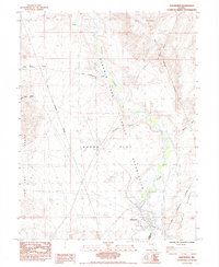
 1985 Two Tips1985 Print · USGSNorthwestern Nevada at the mid-eighties shows a landscape defined by pioneer history and modern conservation. Researchers can trace the path of the California Trail as it crosses the Fortymile Desert toward the Fernley Sink.
 - 1985 Map of Stockton Well
 1985 Stockton Well1985 Print · USGSSilver Springs and Churchill Valley emerge in the mid-eighties as an intersection of desert mining history and rural growth. Trace the historic Emigrant Trail past the Tapaloosa (Mining District) or locate family plots at Desert Memorial Gardens.2 unique versions available
 - 1985 Map of Fernley East
 1985 Fernley East1985 Print · USGSLyon County at the mid-eighties shows a landscape defined by historic western migration routes and modern irrigation. Trace the path of the Emigrant Trail alongside the infrastructure of the Truckee Canal and the Southern Pacific line.2 unique versions available
 - 1985 Map of Silver Springs North
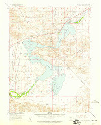
 1985 Silver Springs North1985 Print · USGSSilver Springs and the Lahontan Reservoir shoreline are captured in the mid-1980s, documenting a landscape where pioneer trails meet modern recreation. You can trace the California Emigrant Trail near Hawes Station and find historic rail sidings like Appian Siding.2 unique versions available
 - 1985 Map of Lahontan Dam
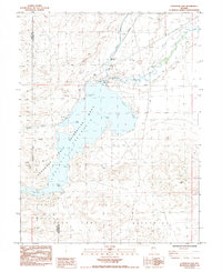 1985 Lahontan Dam1985 Print · USGSLahontan Reservoir in the 1980s served as a vital water hub where the high desert meets the Carson River. Trace the engineering of the Lahontan Dam and the industrial footprint of the Southern Pacific railroad and early prospects.2 unique versions available
 - 1985 Map of Wadsworth
 1985 Wadsworth1985 Print · USGSThe community of Wadsworth and the Truckee River corridor are captured in the mid-1980s, marking the edge of the Fortymile Desert. Researchers can trace the Southern Pacific rail line, two cemeteries, and the Pyramid Lake Indian Reservation Boundary.3 unique versions available
 - 1985 Map of Fernley West
 1985 Fernley West1985 Print · USGSNear the intersection of Lyon, Washoe, and Storey counties in the mid-1980s, the river and rail lines converge to shape local industry. Genealogists and historians can trace the development of Fernley and the industrial infrastructure surrounding the Truckee River and its Diversion Dam.2 unique versions available
 - 2021 Map of Silver Springs North, 2021 Print
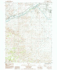
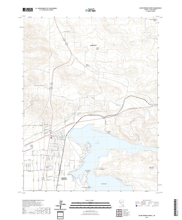 2021 Silver Springs North2021 Print · USGSSilver Springs and the Lahontan Reservoir shoreline are captured in this recent survey of the Nevada high desert. Researchers can trace the path of the California Emigrant Trl and locate landmarks like the Mtn of Hieroglyphics and Silver Springs Airport.
 - 2021 Map of Fernley East, 2021 Print
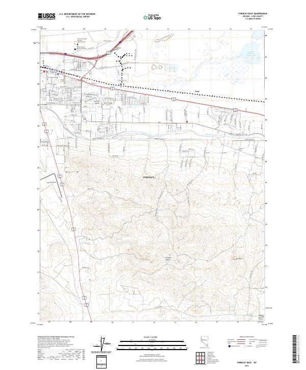 2021 Fernley East2021 Print · USGSFernley and the western edge of the desert are captured in the early 2020s as modern industry meets old transit corridors. Trace local landmarks like the Northern Nevada Veterans Memorial Cem, Samsarg Field, and the vital Truckee Canal.
Showing maps 1-25 of 32
Top cities near Fernley
Frequently asked questions
- What are the different types of historical maps available for Fernley?
- What is the oldest map of Fernley?
- Where can I purchase historical maps of Fernley for my home or office?
- Where can I download high-res historical maps of Fernley?
- Are there historical topographic maps available for Fernley?
- Is there historical aerial imagery available for Fernley?
- Where are historical maps of Fernley sourced from?