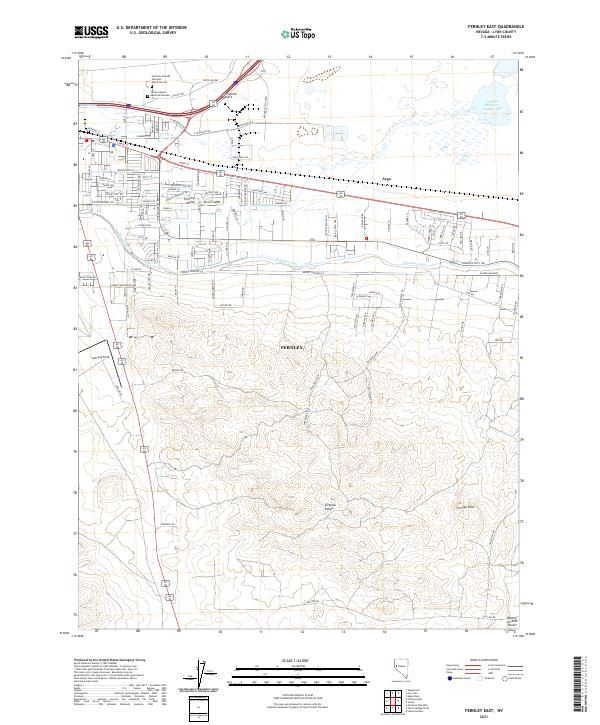
2021 Map of Fernley East
USGS Topo · Published 2021About this map
The Virginia Range dominates the southern landscape of this 2021 survey, giving way to the expanding residential and industrial corridors of Fernley. Historical desert crossings are evoked by the proximity of the Fortymile Desert and the Twenty-Six-Mile Desert, names that speak to the arduous transit of early western pioneers. The northern half of the map shows a modern network of roads, including Industrial Dr and Mission Way, alongside water infrastructure vital to the region such as the Truckee Canal and the Fernley Reservoir Number One 12.
Find a feature on this map
50 named features on this map. Tap any name to fly to it.
Don’t see what you’re looking for? This feature index may not catch every label — zoom into the map to look around manually.
Map Details
Editions of this 2021 Fernley East Map
This is the sole edition of this map. No revisions or reprints were ever made.
Other maps of this area

1890 · Wadsworth
USGS Topo · 1:125,000

1891 · Wabuska
USGS Topo · 1:125,000

1892 · Wadsworth
USGS Topo · 1:125,000

1894 · Wadsworth
USGS Topo · 1:125,000

1894 · Wabuska
USGS Topo · 1:125,000

1957 · Churchill Butte
USGS Topo · 1:62,500

1957 · Two Tips
USGS Topo · 1:62,500

1957 · Wadsworth
USGS Topo · 1:62,500

1957 · Silver Springs
USGS Topo · 1:62,500

1957 · Reno
USGS Topo · 1:250,000