Old Maps of Broken Hills, Nevada for Academic Research
Study the evolution of Broken Hills with 11 high-resolution historic maps. Whether you're teaching, researching, or modeling changes in land use, these maps provide essential visual documentation of urban, environmental, and geographic change.
- Analyze long-term change: Track patterns in development, transportation, and natural features.
- Ideal for environmental or urban studies: Support academic projects with primary historical map data.
- Use in the classroom or lab: Educators and researchers rely on these maps to bring historical context to life.
These maps are a powerful tool for teaching, research, and visualizing how Broken Hills has changed over the decades.
Broken Hills, NV maps
(11)- 1908 Map of Carson Sink, 1954 Print
 1908 Carson Sink1954 Print · USGSChurchill County at the opening of the century reveals a landscape of desert mining camps and nascent river irrigation. Genealogists and historians can trace the early streets of Fallon, the remote Nevada Hills Mine, and the location of Dixie.3 unique versions available
 - 1910 Map of Carson Sink
 1910 Carson Sink1910 Print · USGSWestern Nevada at the end of the first decade of the century shows a landscape defined by desert mining camps and the burgeoning Carson-Truckee irrigation projects. Genealogists and historians can trace the early streets of Fallon or locate remote camps like Rawhide and the Nevada Wonder Mine.5 unique versions available
 - 1957 Map of Reno, 1963 Print
 1957 Reno1963 Print · USGSWestern Nevada in the early sixties is a land of sprawling desert sinks and rising mountain ranges. Genealogists and historians can trace the rail-and-river network connecting Reno, the mining legacy of Rawhide Mine, and the boundaries of the Pyramid Lake Indian Reservation.5 unique versions available
 - 1959 Map of Reno
 1959 Reno1959 Print · USGSWestern Nevada in the late fifties was a land of expanding military airbases and high-desert irrigation projects. You can trace the lineage of the Comstock era through Carson City, locate the Pony Express Monument, or study the rail networks of the Southern Pacific RR.
 - 1960 Map of Reno
 1960 Reno1960 Print · USGSThe high desert of western Nevada comes alive in this mid-century survey of the Reno-Tahoe region. Genealogists and historians can trace rail lines like the Southern Pacific RR and locate remote outposts such as Olinghouse, Nixon, and the Olinghouse Mine.2 unique versions available
 - 1972 Map of Broken Hills, 1975 Print
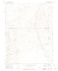 1972 Broken Hills1975 Print · USGSMining activity and remote desert infrastructure define this high-altitude Nevada landscape during the early seventies. Genealogists and historians can trace the Broken Hills (Site), locate the Broken Hills Mine, and identify isolated landmarks like the Grave near Gabbs Wash.2 unique versions available
 - 1979 Map of Fallon, 1980 Print
 1979 Fallon1980 Print · USGSIn the Great Basin during the late seventies, the agricultural life of the Lahontan Valley meets a sprawling landscape of naval reservations and desert ranges. Genealogists and researchers can locate remote outposts like Frenchman, industrial sites at the Summit King Mine, and the historic Southern Pacific rail line.2 unique versions available
 - 2011 Map of Broken Hills, 2011 Print
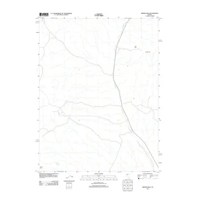 2011 Broken Hills2011 Print · USGSMineral County, Nevada, is documented here in the early twenty-first century, showing the isolated high-desert character of the region. Researchers can locate the historic settlement of Broken Hills and trace natural landmarks like Jack O'Connor Spring and Ball Rock.
 - 2014 Map of Broken Hills, 2014 Print
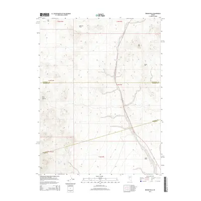 2014 Broken Hills2014 Print · USGSThe high desert at the tri-county junction of Churchill, Mineral, and Nye comes into focus in this modern survey. Genealogists and researchers can trace the arid landscape from the Monte Cristo Mountains down to Gabbs Valley, locating landmarks like Jack O'Connor Spring and Broken Hills.
 - 2018 Map of Broken Hills, 2018 Print
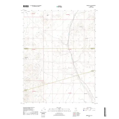 2018 Broken Hills2018 Print · USGSThe high Nevada desert at the convergence of three counties is captured here in the late twenty-tens. Genealogists and desert historians can trace the geography around Broken Hills and find isolated landmarks like Jack O'Connor Spring and Ball Rock.
 - 2021 Map of Broken Hills, 2021 Print
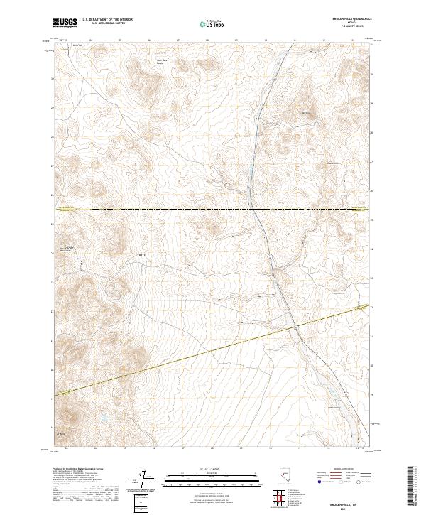 2021 Broken Hills2021 Print · USGSBroken Hills sits at the high-desert junction of Churchill, Mineral, and Nye counties during the early twenty-first century. Genealogists and researchers can trace the roads near Broken Hills or locate remote landmarks like Jack O'Connor Spring and Ball Rock.
End of results
Showing maps 1-11 of 11
Frequently asked questions
- What are the different types of historical maps available for Broken Hills?
- What is the oldest map of Broken Hills?
- Where can I purchase historical maps of Broken Hills for my home or office?
- Where can I download high-res historical maps of Broken Hills?
- Are there historical topographic maps available for Broken Hills?
- Is there historical aerial imagery available for Broken Hills?
- Where are historical maps of Broken Hills sourced from?