Old Maps of Crows Nest, Nevada for Academic Research
Study the evolution of Crows Nest with 9 high-resolution historic maps. Whether you're teaching, researching, or modeling changes in land use, these maps provide essential visual documentation of urban, environmental, and geographic change.
- Analyze long-term change: Track patterns in development, transportation, and natural features.
- Ideal for environmental or urban studies: Support academic projects with primary historical map data.
- Use in the classroom or lab: Educators and researchers rely on these maps to bring historical context to life.
These maps are a powerful tool for teaching, research, and visualizing how Crows Nest has changed over the decades.
Crows Nest, NV maps
(9)- 1956 Map of Lund, 1963 Print
 1956 Lund1963 Print · USGSEastern Nevada and the Utah borderlands are mapped here during the mid-fifties, showing a landscape of high-desert ranches and mountain mining camps. Genealogists and historians can trace family locations through sites like Bristol Silver Mines, Lund, and the Sunnyside Whipple Ranch.2 unique versions available
 - 1960 Map of Lund
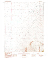
 1960 Lund1960 Print · USGSEastern Nevada and the Utah borderlands are mapped here during the mid-twentieth century, showing a landscape of high peaks and isolated ranching outposts. Researchers can locate remote mining sites like the Tungsten Queen Mine and early settlements including Lund and Shoshone.
 - 1964 Map of Troy Canyon, 1966 Print
 1964 Troy Canyon1966 Print · USGSRailroad Valley and the Grant Range are captured in the mid-1960s, showing a high-desert landscape shaped by ranching and mineral exploration. Genealogists and historians can locate family landmarks like the Bordoli Ranch and prospect sites such as Terrells Mine.
 - 1988 Map of Quinn Canyon Range
 1988 Quinn Canyon Range1988 Print · USGSNye County's high-desert interior is shown here in the late eighties as a land of remote ranching outposts and strategic water management. Researchers can locate isolated settlements like Adaven and Nyala, or trace the flow of the White River into Whipple Reservoir.
 - 1990 Map of Crows Nest
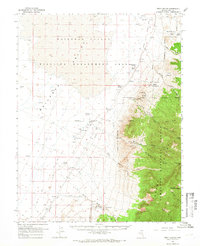
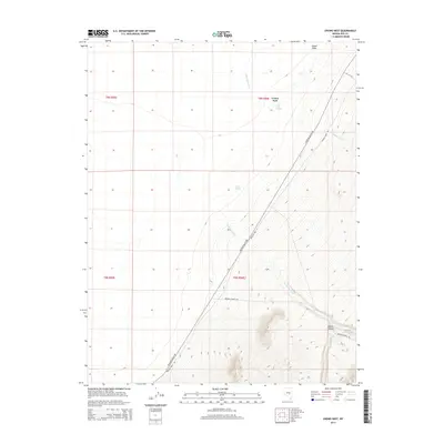
 1990 Crows Nest1990 Print · USGSNye County ranching and mining lands are captured here in the late twentieth century, showing the critical water sources in an arid landscape. Trace the local hydrology through Little Meadows and find old exploration markers like Drill Holes and Ox Spring.
 - 2012 Map of Crows Nest, 2012 Print
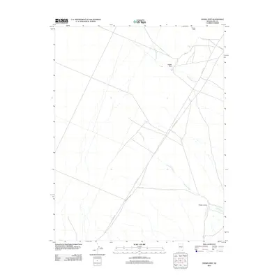 2012 Crows Nest2012 Print · USGSCovers Crows Nest, including Nye County, United States, and other nearby areas
 - 2014 Map of Crows Nest, 2014 Print
 2014 Crows Nest2014 Print · USGSCovers Crows Nest, including Nye County, United States, and other nearby areas
 - 2018 Map of Crows Nest, 2018 Print
 2018 Crows Nest2018 Print · USGSCovers Crows Nest, including Nye County, United States, and other nearby areas
 - 2021 Map of Crows Nest, 2021 Print
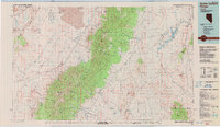
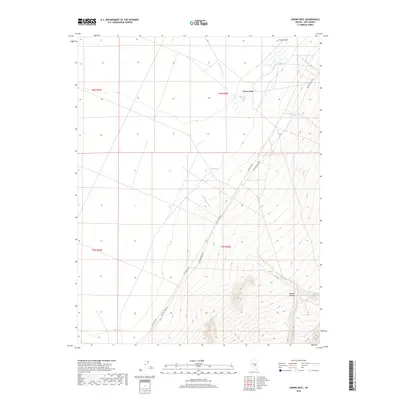
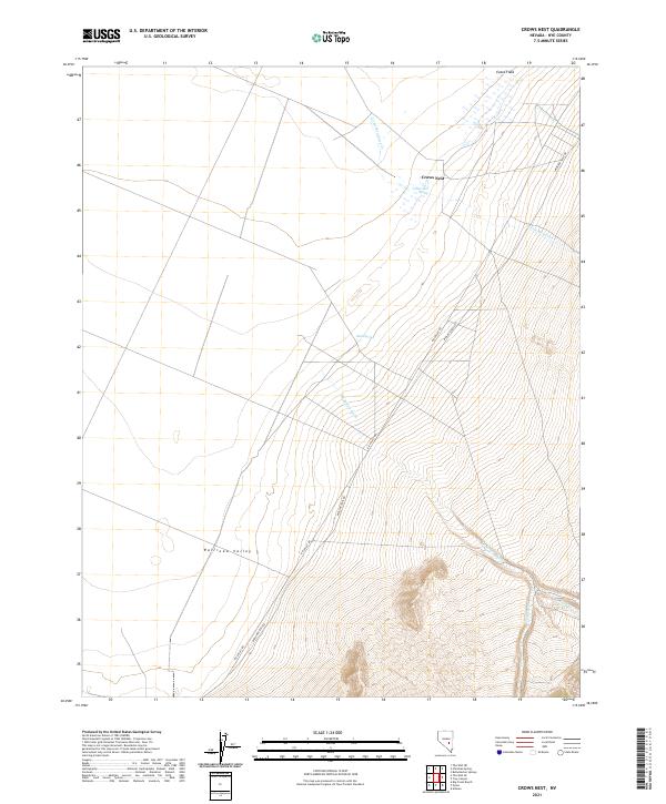 2021 Crows Nest2021 Print · USGSRailroad Valley and the high desert of Nye County appear in modern detail on this recent survey. Researchers can trace historic routes like Midland Trail Rd and locate essential water sources such as Crows Nest Spring and Blind Spring.
End of results
Showing maps 1-9 of 9
Frequently asked questions
- What are the different types of historical maps available for Crows Nest?
- What is the oldest map of Crows Nest?
- Where can I purchase historical maps of Crows Nest for my home or office?
- Where can I download high-res historical maps of Crows Nest?
- Are there historical topographic maps available for Crows Nest?
- Is there historical aerial imagery available for Crows Nest?
- Where are historical maps of Crows Nest sourced from?